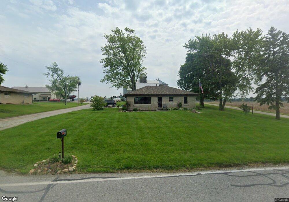
185 Smoke Rd Valparaiso, IN 46385
Porter County NeighborhoodEstimated Value: $228,762 - $343,000
2
Beds
1
Bath
1,131
Sq Ft
$245/Sq Ft
Est. Value
About This Home
This home is located at 185 Smoke Rd, Valparaiso, IN 46385 and is currently estimated at $276,691, approximately $244 per square foot. 185 Smoke Rd is a home located in Porter County with nearby schools including Morgan Township Elementary School and Morgan Township Middle/High School.
Ownership History
Date
Name
Owned For
Owner Type
Purchase Details
Closed on
Oct 15, 2021
Sold by
Sands Brandon R and Ryan Vanessa
Bought by
Sands Brandon R and Sands Vanessa
Current Estimated Value
Purchase Details
Closed on
Feb 10, 2021
Sold by
Sands Brandon R and Sands Brandon
Bought by
Sands Brandon R and Ryan Vanessa
Home Financials for this Owner
Home Financials are based on the most recent Mortgage that was taken out on this home.
Original Mortgage
$50,699
Outstanding Balance
$37,283
Interest Rate
2.65%
Mortgage Type
New Conventional
Estimated Equity
$239,408
Purchase Details
Closed on
Sep 1, 2016
Sold by
Sands Robert and Sands Tammy
Bought by
Sands Brandon
Purchase Details
Closed on
Feb 5, 2014
Sold by
Ailes Patricia A and Ailes Patricia
Bought by
Sands Robert M and Sands Tammy S
Create a Home Valuation Report for This Property
The Home Valuation Report is an in-depth analysis detailing your home's value as well as a comparison with similar homes in the area
Home Values in the Area
Average Home Value in this Area
Purchase History
| Date | Buyer | Sale Price | Title Company |
|---|---|---|---|
| Sands Brandon R | -- | Meridian Title | |
| Sands Brandon R | -- | Meridian Title | |
| Sands Brandon R | $85,000 | Meridian Title Corp | |
| Sands Brandon | -- | None Available | |
| Sands Robert M | -- | Fidelity National Title Co |
Source: Public Records
Mortgage History
| Date | Status | Borrower | Loan Amount |
|---|---|---|---|
| Open | Sands Brandon R | $50,699 |
Source: Public Records
Tax History Compared to Growth
Tax History
| Year | Tax Paid | Tax Assessment Tax Assessment Total Assessment is a certain percentage of the fair market value that is determined by local assessors to be the total taxable value of land and additions on the property. | Land | Improvement |
|---|---|---|---|---|
| 2024 | $944 | $172,800 | $35,700 | $137,100 |
| 2023 | $804 | $153,900 | $31,300 | $122,600 |
| 2022 | $750 | $139,600 | $31,300 | $108,300 |
| 2021 | $799 | $125,700 | $31,300 | $94,400 |
| 2020 | $684 | $112,700 | $27,200 | $85,500 |
| 2019 | $558 | $96,300 | $27,200 | $69,100 |
| 2018 | $517 | $92,500 | $27,200 | $65,300 |
| 2017 | $500 | $91,300 | $27,200 | $64,100 |
| 2016 | $451 | $86,800 | $27,900 | $58,900 |
| 2014 | $1,376 | $84,400 | $27,000 | $57,400 |
| 2013 | -- | $80,800 | $27,300 | $53,500 |
Source: Public Records
Map
Nearby Homes
- 0 Smoke Rd
- 48 E Division Rd
- 239 Bayberry Ct
- 351 S 100 W
- 197 Appaloosa Ln
- 176 S 200 W
- 501 Eagle Ct
- 3359 Blue Jay Dr
- 279 S State Road 49
- 3152 Heavilin Rd
- 232 E 250 S
- 2655 Vivante Dr
- 183 Cimarron Dr
- 3353 Field Hawk Dr
- 3251 Mockingbird Ln
- 16 S 200 W
- 2658 Arran Quay Terrace
- 267 W 100 S
- 2054 Lawndale Dr
- 2551 Saint Road 2