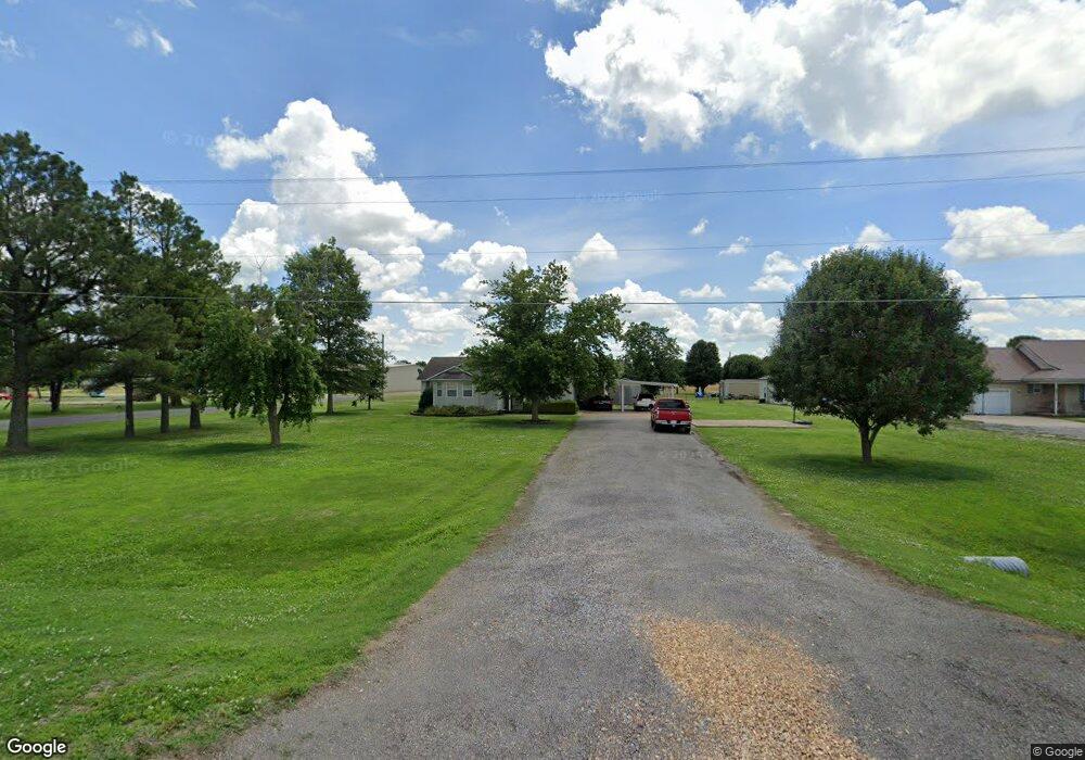
185 W State Highway 164 Steele, MO 63877
Estimated Value: $163,000 - $230,000
--
Bed
--
Bath
2,289
Sq Ft
$87/Sq Ft
Est. Value
About This Home
This home is located at 185 W State Highway 164, Steele, MO 63877 and is currently estimated at $198,885, approximately $86 per square foot. 185 W State Highway 164 is a home with nearby schools including Central Elementary School and South Pemiscot High School.
Ownership History
Date
Name
Owned For
Owner Type
Purchase Details
Closed on
Feb 6, 2024
Sold by
Williams Frank and Williams Robin
Bought by
Williams Frank and Williams Robin
Current Estimated Value
Purchase Details
Closed on
Oct 12, 2020
Sold by
Williams Frank Houston
Bought by
Williams Frank Houston and Williams Robin
Home Financials for this Owner
Home Financials are based on the most recent Mortgage that was taken out on this home.
Original Mortgage
$78,000
Interest Rate
2.8%
Mortgage Type
New Conventional
Purchase Details
Closed on
Aug 20, 2015
Sold by
Williams Holley Maria and Williams Holley Maria
Bought by
Williams Frank Houston
Home Financials for this Owner
Home Financials are based on the most recent Mortgage that was taken out on this home.
Original Mortgage
$82,700
Interest Rate
4.08%
Mortgage Type
New Conventional
Create a Home Valuation Report for This Property
The Home Valuation Report is an in-depth analysis detailing your home's value as well as a comparison with similar homes in the area
Home Values in the Area
Average Home Value in this Area
Purchase History
| Date | Buyer | Sale Price | Title Company |
|---|---|---|---|
| Williams Frank | -- | None Listed On Document | |
| Williams Frank Houston | -- | Churchill Title Solutions | |
| Williams Frank Houston | -- | None Available |
Source: Public Records
Mortgage History
| Date | Status | Borrower | Loan Amount |
|---|---|---|---|
| Previous Owner | Williams Frank Houston | $78,000 | |
| Previous Owner | Williams Frank Houston | $82,700 |
Source: Public Records
Tax History Compared to Growth
Tax History
| Year | Tax Paid | Tax Assessment Tax Assessment Total Assessment is a certain percentage of the fair market value that is determined by local assessors to be the total taxable value of land and additions on the property. | Land | Improvement |
|---|---|---|---|---|
| 2024 | $1,269 | $22,490 | $0 | $0 |
| 2023 | $1,263 | $22,490 | $0 | $0 |
| 2022 | $1,208 | $21,600 | $0 | $0 |
| 2021 | $1,235 | $21,600 | $0 | $0 |
| 2020 | $1,235 | $21,600 | $0 | $0 |
| 2019 | $1,084 | $20,350 | $0 | $0 |
| 2018 | $1,075 | $20,350 | $0 | $0 |
| 2017 | $1,081 | $20,350 | $0 | $0 |
| 2016 | -- | $14,350 | $0 | $0 |
| 2015 | -- | $14,350 | $0 | $0 |
| 2013 | -- | $14,410 | $0 | $0 |
Source: Public Records
Map
Nearby Homes
- 316 Bellvue St
- 317 Main St
- 312 Missouri St
- 453 State 164 Hwy E
- 0 County Road 488
- 0 E County Road 2 Unit MAR24043003
- 5334 State Dd Hwy
- 3337 E County Road 70
- 0 County Road 421
- 102 Gayle Rd
- 0 County Road 406
- 6070 N State Highway 137
- 804 Golf Links Dr
- 8835 County Road 719
- O Brock St
- 820 Grandview St
- 1133 Leawood St
- 1 Fairview Meadow Ln
- 0 Highway 412
- 105 E Pecan St
- 108 Eagle Ln
- 120 Eagle Ln
- 701 S 1st St
- 209 W State Highway 164
- 140 Eagle Ln
- 518 Dupeck St
- 508/410 Highland Garland
- 421 Garland St
- 615 S 1st St
- 402 Garland St
- 611 S 1st St
- 603 S 1st St
- 422 Liberty St
- 418 Liberty St
- 505 S 1st St
- 423 Liberty St
- 400 Liberty St
- 414 Liberty St
- 406 Liberty St
- 309 Garland St