185 Wright Rd Tignall, GA 30668
Estimated Value: $53,000 - $518,070
4
Beds
2
Baths
2,749
Sq Ft
$104/Sq Ft
Est. Value
About This Home
This home is located at 185 Wright Rd, Tignall, GA 30668 and is currently estimated at $285,535, approximately $103 per square foot. 185 Wright Rd is a home with nearby schools including Washington-Wilkes Elementary School, Washington-Wilkes Primary School, and Washington-Wilkes Middle School.
Ownership History
Date
Name
Owned For
Owner Type
Purchase Details
Closed on
Jul 20, 2007
Sold by
Lawson Shela S
Bought by
Lawson Timothy E
Current Estimated Value
Purchase Details
Closed on
Apr 10, 2002
Sold by
Lovell James Michael
Bought by
Lawson Timothy E and Lawson S
Create a Home Valuation Report for This Property
The Home Valuation Report is an in-depth analysis detailing your home's value as well as a comparison with similar homes in the area
Purchase History
| Date | Buyer | Sale Price | Title Company |
|---|---|---|---|
| Lawson Timothy E | -- | -- | |
| Lawson Timothy E | $40,000 | -- | |
| Lovell James Michael | -- | -- |
Source: Public Records
Tax History
| Year | Tax Paid | Tax Assessment Tax Assessment Total Assessment is a certain percentage of the fair market value that is determined by local assessors to be the total taxable value of land and additions on the property. | Land | Improvement |
|---|---|---|---|---|
| 2025 | $3,391 | $121,176 | $25,832 | $95,344 |
| 2024 | $3,448 | $121,176 | $25,832 | $95,344 |
| 2023 | $3,392 | $121,176 | $25,832 | $95,344 |
| 2022 | $3,033 | $121,175 | $25,831 | $95,344 |
| 2021 | $3,094 | $121,175 | $25,831 | $95,344 |
| 2020 | $3,139 | $121,175 | $25,831 | $95,344 |
| 2019 | $3,018 | $116,539 | $25,831 | $90,708 |
| 2018 | $3,384 | $116,539 | $25,831 | $90,708 |
| 2017 | $3,384 | $116,539 | $25,831 | $90,708 |
| 2016 | $2,890 | $116,539 | $25,831 | $90,708 |
| 2015 | -- | $25,831 | $25,831 | $90,708 |
| 2014 | -- | $116,540 | $25,831 | $90,708 |
| 2013 | -- | $117,752 | $0 | $0 |
Source: Public Records
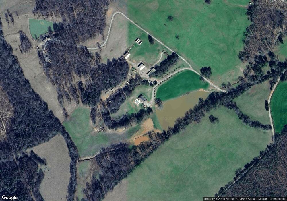
Map
Nearby Homes
- 1 Bunch Rd
- 4 Bunch Rd
- 191 Bunch Rd
- 179 Independence St
- 819 Jane Hill Rd
- 525 S Hulin Ave
- 0 Rogers Rd Unit 10683069
- 129 Wooten West St
- 1302 River Rd
- 2973 River Rd
- 2724 Bells Ferry Rd
- 1650 Ware McLendon Rd
- 0 Hollis Norman Rd Unit 10657647
- 0 Hollis Norman Rd
- 6108 Danburg Rd
- 6464 Danburg Rd
- Lot D Newtown Rd
- Lot C Newtown Rd
- Lot B Newtown Rd
- Lot E Newtown Rd
- 0 Broad Rd Unit 8456037
- 0 Broad Rd Unit CM318739
- 0 Broad Rd Unit 10241038
- 0 Broad Rd Unit 20097427
- 0 Broad Rd Unit 20139671
- 0 Broad Rd Unit 35ACRE 20163686
- 0 Broad Rd Unit 525481
- 0 Broad Rd Unit 457409
- 0 Broad Rd Unit 51877
- 0 Broad Rd Unit 963656
- 157 Wright Rd
- 172 Broad Rd
- 134 Broad Rd
- 7575 Elberton Rd
- 490 Wright Rd
- 7026 Elberton Rd
- 6895 Elberton Rd
- 6946 Elberton Rd
- 7576 Elberton Rd
- 6894 Elberton Rd
Your Personal Tour Guide
Ask me questions while you tour the home.