1850 Atlantic Dr Unit 522 Columbia, SC 29210
Saint Andrews NeighborhoodEstimated Value: $89,000 - $117,000
1
Bed
1
Bath
851
Sq Ft
$125/Sq Ft
Est. Value
About This Home
This home is located at 1850 Atlantic Dr Unit 522, Columbia, SC 29210 and is currently estimated at $106,046, approximately $124 per square foot. 1850 Atlantic Dr Unit 522 is a home located in Richland County with nearby schools including H. B. Rhame Elementary School, St. Andrews Middle School, and Columbia High School.
Ownership History
Date
Name
Owned For
Owner Type
Purchase Details
Closed on
Oct 28, 2024
Sold by
Bivens Elise Shafer and Shafer Elise A
Bought by
Medina Elizabeth Jacqueline
Current Estimated Value
Purchase Details
Closed on
Sep 21, 2010
Sold by
Tecklenburg Helen
Bought by
Shafer John M and Shafer Elise D
Home Financials for this Owner
Home Financials are based on the most recent Mortgage that was taken out on this home.
Original Mortgage
$64,629
Interest Rate
4.44%
Mortgage Type
Purchase Money Mortgage
Purchase Details
Closed on
Aug 2, 2002
Sold by
Tammy Elvington Cagle
Bought by
Tecklenburg Helen
Home Financials for this Owner
Home Financials are based on the most recent Mortgage that was taken out on this home.
Original Mortgage
$46,900
Interest Rate
6.62%
Mortgage Type
Purchase Money Mortgage
Create a Home Valuation Report for This Property
The Home Valuation Report is an in-depth analysis detailing your home's value as well as a comparison with similar homes in the area
Home Values in the Area
Average Home Value in this Area
Purchase History
| Date | Buyer | Sale Price | Title Company |
|---|---|---|---|
| Medina Elizabeth Jacqueline | $85,000 | None Listed On Document | |
| Shafer John M | $65,500 | -- | |
| Tecklenburg Helen | $57,900 | -- |
Source: Public Records
Mortgage History
| Date | Status | Borrower | Loan Amount |
|---|---|---|---|
| Previous Owner | Shafer John M | $64,629 | |
| Previous Owner | Tecklenburg Helen | $46,900 | |
| Closed | Tecklenburg Helen | $10,000 |
Source: Public Records
Tax History Compared to Growth
Tax History
| Year | Tax Paid | Tax Assessment Tax Assessment Total Assessment is a certain percentage of the fair market value that is determined by local assessors to be the total taxable value of land and additions on the property. | Land | Improvement |
|---|---|---|---|---|
| 2024 | $2,374 | $41,300 | $0 | $0 |
| 2023 | $0 | $1,436 | $0 | $0 |
| 2022 | $1,036 | $35,900 | $6,700 | $29,200 |
| 2021 | $1,044 | $2,150 | $0 | $0 |
| 2020 | $285 | $2,150 | $0 | $0 |
| 2019 | $287 | $1,440 | $0 | $0 |
| 2018 | $255 | $1,250 | $0 | $0 |
| 2017 | $248 | $1,250 | $0 | $0 |
| 2016 | $239 | $1,250 | $0 | $0 |
| 2015 | $239 | $1,250 | $0 | $0 |
| 2014 | $239 | $31,200 | $0 | $0 |
| 2013 | -- | $1,250 | $0 | $0 |
Source: Public Records
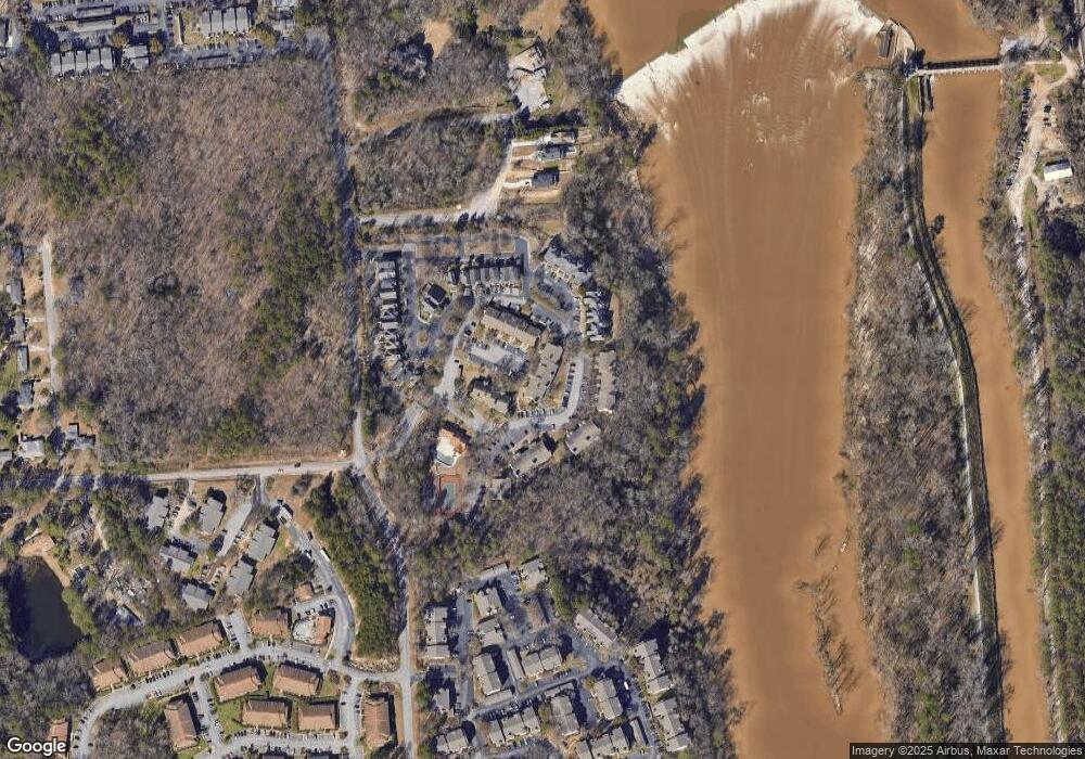
Map
Nearby Homes
- 1850 Atlantic Dr
- 1850 Atlantic Dr Unit 416
- 105 River Bluff Ct
- 214 River Bluff Way
- 409 Huntley Way
- 1510 Canal Dr
- 1820 Omarest Dr
- 1230 Greenville Cir
- 1100 Skyland Dr Unit J-1
- 1712 Omarest Dr
- 601 Riverhill Cir Unit C8
- 601 River Hill Cir Unit D1
- 1650 Omarest Dr
- 1 Place
- 120 Mcrae St
- 201 Burbank St
- 109 Mcrae St
- 112 Gateway Ln
- 232 Burbank St
- 3839 Ayrshire Ave
- 1850 Atlantic Dr Unit 512
- 1850 Atlantic Dr Unit CONDO 327
- 1850 Atlantic Dr Unit 128
- 1850 Atlantic Dr Unit 426
- 1850 Atlantic Dr Unit 711
- 1850 Atlantic Dr Unit 314
- 1850 Atlantic Dr Unit 523
- 1850 Atlantic Dr Unit 621
- 1850 Atlantic Dr Unit 632
- 1850 Atlantic Dr Unit 435
- 1850 Atlantic Dr Unit 121
- 1850 Atlantic Dr Unit 214
- 1850 Atlantic Dr Unit 213
- 1850 Atlantic Dr Unit 432
- 1850 Atlantic Dr Unit 624
- 1850 Atlantic Dr Unit 127
- 1850 Atlantic Dr Unit 414
- 1850 Atlantic Dr Unit 532
- 1850 Atlantic Dr Unit 411
- 1850 Atlantic Dr Unit 712