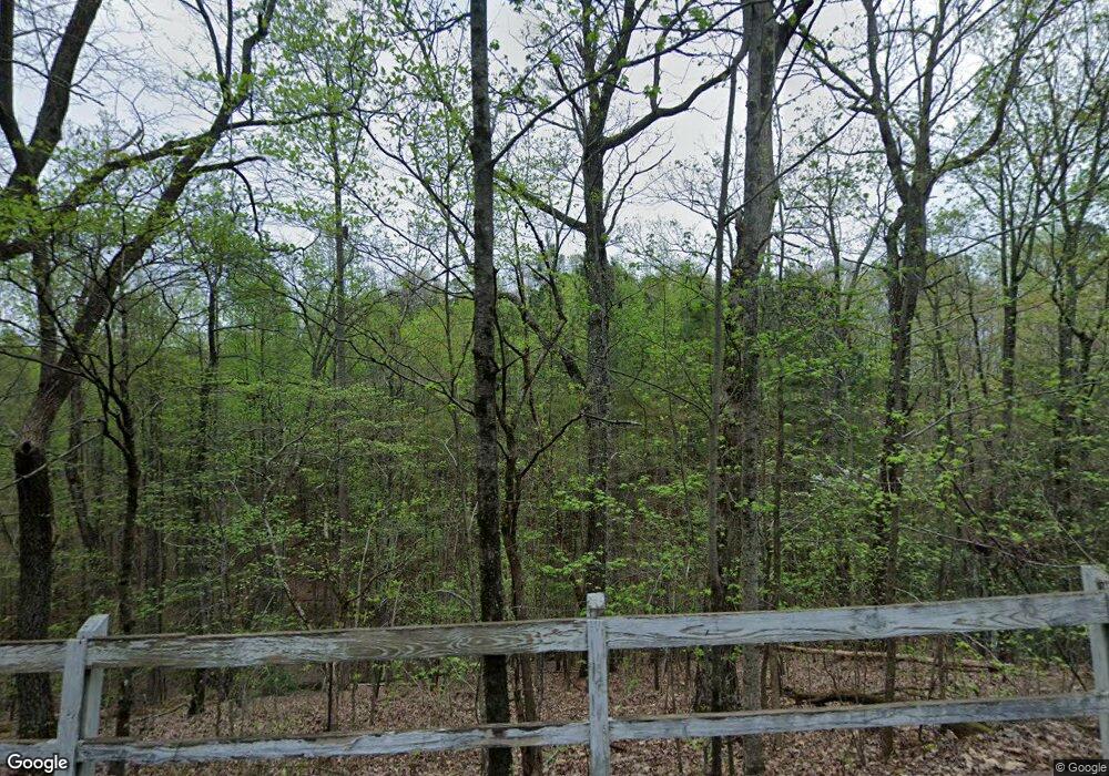
1850 Camp Branch Rd Ellijay, GA 30540
Estimated Value: $364,000 - $1,589,377
1
Bed
1
Bath
1,696
Sq Ft
$576/Sq Ft
Est. Value
About This Home
This home is located at 1850 Camp Branch Rd, Ellijay, GA 30540 and is currently estimated at $976,689, approximately $575 per square foot. 1850 Camp Branch Rd is a home located in Gilmer County with nearby schools including Ellijay Elementary School, Gilmer Middle School, and Clear Creek Elementary School.
Ownership History
Date
Name
Owned For
Owner Type
Purchase Details
Closed on
Apr 13, 2011
Sold by
Welch David Ellis
Bought by
Gartner Leslie and Gartner Heather
Current Estimated Value
Purchase Details
Closed on
Mar 10, 2009
Sold by
Welch David Ellis
Bought by
Welch David Ellis
Purchase Details
Closed on
Mar 17, 2008
Sold by
Welch David Ellis
Bought by
Gartner Heather L
Purchase Details
Closed on
Mar 1, 1986
Bought by
Welch David Ellis
Create a Home Valuation Report for This Property
The Home Valuation Report is an in-depth analysis detailing your home's value as well as a comparison with similar homes in the area
Home Values in the Area
Average Home Value in this Area
Purchase History
| Date | Buyer | Sale Price | Title Company |
|---|---|---|---|
| Gartner Leslie | $532,650 | -- | |
| Welch David Ellis | $1,250,000 | -- | |
| Gartner Heather L | $155,770 | -- | |
| Welch David Ellis | -- | -- |
Source: Public Records
Tax History Compared to Growth
Tax History
| Year | Tax Paid | Tax Assessment Tax Assessment Total Assessment is a certain percentage of the fair market value that is determined by local assessors to be the total taxable value of land and additions on the property. | Land | Improvement |
|---|---|---|---|---|
| 2024 | $212 | $80,436 | $76,600 | $3,836 |
| 2023 | $214 | $48,676 | $44,840 | $3,836 |
| 2022 | $231 | $44,556 | $40,720 | $3,836 |
| 2021 | $250 | $57,340 | $53,760 | $3,580 |
| 2020 | $277 | $46,804 | $43,000 | $3,804 |
| 2019 | $1,180 | $86,588 | $43,000 | $43,588 |
| 2018 | $1,190 | $85,308 | $41,720 | $43,588 |
| 2017 | $1,142 | $80,088 | $41,720 | $38,368 |
| 2016 | $1,172 | $80,576 | $41,720 | $38,856 |
| 2015 | $1,060 | $139,400 | $104,000 | $35,400 |
| 2014 | $1,561 | $129,920 | $76,360 | $53,560 |
| 2013 | -- | $158,920 | $104,040 | $54,880 |
Source: Public Records
Map
Nearby Homes
- 104 Scott Dr
- 12 Scott Dr
- 0 Old Federal Rd Unit 10278254
- 0 Old Federal Rd Unit 7365620
- 0 Harris Ridge Dr Unit 416841
- 0 Harris Ridge Dr Unit 10551790
- 0 Harris Ridge Dr Unit 7605007
- 0 Georgia 136
- LOT 1 Harris Branch Rd
- Lot 19 Harris Branch Rd
- 0 Shady Grove Rd Unit 10487030
- 0000 Shady Grove Rd
- 01 Old Federal Rd
- 43 Old Federal Rd
- 0 Camp Branch Rd Unit 130270
- 2956 Blalock Mountain Rd
- 14507 Highway 136 W
- 00 Sun Mount Rd
- 49 Sun Mountain Rd
- 402 Sun Mount Rd
- 0 William Way Unit LOT 95
- 0 William Way Unit 91437
- 0 William Way Unit 7394646
- 0 William Way Unit LOT 95 3276252
- 0 William Way Unit Lot 95 8800744
- 0 William Way Unit 7149196
- 0 William Way Unit 7295629
- 0 William Way Unit 8492120
- 2043 Camp Branch Rd
- 16 Michelle Cir
- 2074 Camp Branch Rd
- 87 Michelle Cir
- 1848 Camp Branch Rd
- 1848 Camp Branch Rd Unit TR 5
- 2072 Camp Branch Rd
- 271 Zane Dr
- 271 Zane Dr
- 138 Michelle Cir
- LT138 Michelle Cir
- L-137 Michelle Cir
