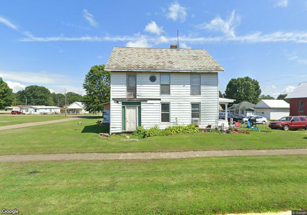
1850 Main St Stockport, OH 43787
Estimated Value: $96,624 - $245,000
4
Beds
1
Bath
1,814
Sq Ft
$80/Sq Ft
Est. Value
About This Home
This home is located at 1850 Main St, Stockport, OH 43787 and is currently estimated at $144,906, approximately $79 per square foot. 1850 Main St is a home with nearby schools including Morgan High School.
Ownership History
Date
Name
Owned For
Owner Type
Purchase Details
Closed on
May 18, 2004
Sold by
Hunter Nellie
Bought by
Barry Raymond C Trustee
Current Estimated Value
Purchase Details
Closed on
May 30, 2001
Sold by
Hunter Nellie Metcalf and Barney Scott
Bought by
Hunter Nellie
Purchase Details
Closed on
May 21, 1999
Sold by
Dille Wanda L
Bought by
Hunter Nellie Metcalf and Barney Scot
Purchase Details
Closed on
Jan 29, 1998
Sold by
Dille Wanda L
Bought by
Dille Wanda L
Purchase Details
Closed on
Aug 27, 1997
Sold by
Dille Wanda L
Bought by
Dille Wanda L
Purchase Details
Closed on
Jan 22, 1997
Sold by
Mckibben Ray A
Bought by
Dille Wanda L
Create a Home Valuation Report for This Property
The Home Valuation Report is an in-depth analysis detailing your home's value as well as a comparison with similar homes in the area
Home Values in the Area
Average Home Value in this Area
Purchase History
| Date | Buyer | Sale Price | Title Company |
|---|---|---|---|
| Barry Raymond C Trustee | $22,000 | -- | |
| Hunter Nellie | -- | -- | |
| Hunter Nellie Metcalf | $25,000 | -- | |
| Dille Wanda L | -- | -- | |
| Dille Wanda L | -- | -- | |
| Dille Wanda L | -- | -- |
Source: Public Records
Tax History Compared to Growth
Tax History
| Year | Tax Paid | Tax Assessment Tax Assessment Total Assessment is a certain percentage of the fair market value that is determined by local assessors to be the total taxable value of land and additions on the property. | Land | Improvement |
|---|---|---|---|---|
| 2024 | $720 | $20,510 | $2,040 | $18,470 |
| 2023 | $720 | $14,190 | $1,730 | $12,460 |
| 2022 | $513 | $14,190 | $1,730 | $12,460 |
| 2021 | $490 | $14,220 | $1,730 | $12,490 |
| 2019 | $448 | $12,350 | $1,500 | $10,850 |
| 2018 | $432 | $12,350 | $1,500 | $10,850 |
| 2017 | $407 | $11,316 | $1,694 | $9,622 |
| 2016 | $408 | $11,316 | $1,694 | $9,622 |
| 2015 | $408 | $11,316 | $1,694 | $9,622 |
| 2014 | $419 | $11,316 | $1,694 | $9,622 |
| 2013 | $419 | $11,316 | $1,694 | $9,622 |
Source: Public Records
Map
Nearby Homes
- 1920 North St
- 1770 Broadway St
- 1960 Broadway St
- 1715 South St
- 0 Meadow St Unit Lot 9 5158299
- 0 Meadow St Unit Lot 9 225008020
- 3265 Tieber Rd
- 75 S River Rd SE
- 3020 State Route 376
- 2712 Sycamore Ln
- 2444 Ervin Ln
- 3111 Big Bottom Ln
- 0 Kosky Dr
- 3291 Kosky Dr
- 5174 Lightner Ridge Rd
- 681 Downing Rd
- 781 Downing Rd
- 0 Downing Rd
- 160 N Riverview Rd
- 4660 E J Ross Ln