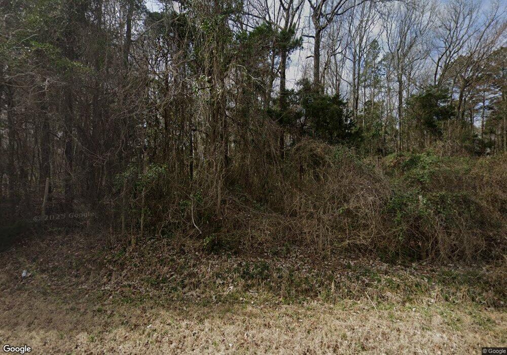
1850 Porter Rd Rock Hill, SC 29730
Estimated Value: $356,000 - $586,755
--
Bed
--
Bath
1,450
Sq Ft
$292/Sq Ft
Est. Value
About This Home
This home is located at 1850 Porter Rd, Rock Hill, SC 29730 and is currently estimated at $422,689, approximately $291 per square foot. 1850 Porter Rd is a home with nearby schools including Mount Holly Elementary School, Saluda Trail Middle School, and South Pointe High School.
Ownership History
Date
Name
Owned For
Owner Type
Purchase Details
Closed on
Jun 10, 2008
Sold by
Rutherford Jeanne R and Rutherford Elizabeth Rocinda
Bought by
Rutherford Elizabeth Rocinda
Current Estimated Value
Purchase Details
Closed on
Jul 1, 2005
Sold by
Shillinglaw Carrie Hall
Bought by
Langley Jimmie and Langley Tina M
Home Financials for this Owner
Home Financials are based on the most recent Mortgage that was taken out on this home.
Original Mortgage
$285,215
Outstanding Balance
$147,730
Interest Rate
5.54%
Mortgage Type
Credit Line Revolving
Estimated Equity
$274,959
Create a Home Valuation Report for This Property
The Home Valuation Report is an in-depth analysis detailing your home's value as well as a comparison with similar homes in the area
Home Values in the Area
Average Home Value in this Area
Purchase History
| Date | Buyer | Sale Price | Title Company |
|---|---|---|---|
| Rutherford Elizabeth Rocinda | -- | -- | |
| Langley Jimmie | $155,000 | -- | |
| Langley Jimmie | -- | -- |
Source: Public Records
Mortgage History
| Date | Status | Borrower | Loan Amount |
|---|---|---|---|
| Open | Langley Jimmie | $285,215 |
Source: Public Records
Tax History Compared to Growth
Tax History
| Year | Tax Paid | Tax Assessment Tax Assessment Total Assessment is a certain percentage of the fair market value that is determined by local assessors to be the total taxable value of land and additions on the property. | Land | Improvement |
|---|---|---|---|---|
| 2024 | $1,877 | $7,475 | $947 | $6,528 |
| 2023 | $1,904 | $7,475 | $947 | $6,528 |
| 2022 | $1,825 | $7,475 | $947 | $6,528 |
| 2021 | -- | $7,475 | $947 | $6,528 |
| 2020 | $1,788 | $7,475 | $0 | $0 |
| 2019 | $1,483 | $6,390 | $0 | $0 |
| 2018 | $1,459 | $6,390 | $0 | $0 |
| 2017 | $1,388 | $5,540 | $0 | $0 |
| 2016 | $1,345 | $6,390 | $0 | $0 |
| 2014 | $1,384 | $6,290 | $1,000 | $5,290 |
| 2013 | $1,384 | $6,940 | $1,100 | $5,840 |
Source: Public Records
Map
Nearby Homes
- 6032 Castle Pines Dr
- 1652 Barringer Rd
- 2127 Old Field Rd
- 1290 Neelys Creek Rd
- 3622 Reid Rd
- 3003 Pinetuck Ln
- Lot 6 Winter Rd Unit 6
- Lot 12 Winter Rd Unit 12
- Lot 1 Winter Rd Unit 1
- Lot 7 Winter Rd Unit 7
- lot 2 Winter Rd Unit 2
- Lot 3 Winter Rd Unit 3
- Lot 11 Winter Rd Unit 11
- 623 Neelys Creek Rd
- 505 Fencepost Ln
- Tract 4 Porter Rd
- Tract A Porter Rd
- 2870 Harmony Rd
- 611 Pondway Downs
- 1631 Amanda Ln
- 1830 Porter Rd
- 00 Old Field Rd
- 2058 Forest Creek Dr
- 2001 Vintage Ln
- 2064 Forest Creek Dr
- 2052 Forest Creek Dr
- 2076 Forest Creek Dr
- 2046 Forest Creek Dr Unit 37
- 2063 Forest Creek Dr
- 2082 Forest Creek Dr
- 2057 Forest Creek Dr
- 1981 Vintage Ln
- 2051 Forest Creek Dr
- 2069 Forest Creek Dr
- 2088 Forest Creek Dr
- 2009 Vintage Ln
- 2040 Forest Creek Dr
- 2045 Forest Creek Dr
- 2094 Forest Creek Dr
- 1750 Porter Rd
