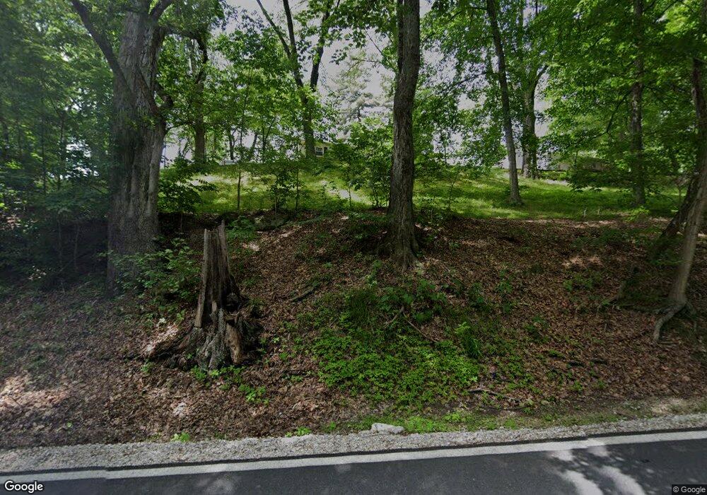
1850 State Road 550 Loogootee, IN 47553
Estimated Value: $186,914 - $287,000
3
Beds
1
Bath
1,232
Sq Ft
$195/Sq Ft
Est. Value
About This Home
This home is located at 1850 State Road 550, Loogootee, IN 47553 and is currently estimated at $239,979, approximately $194 per square foot. 1850 State Road 550 is a home located in Martin County with nearby schools including Loogootee Elementary School, Loogootee Middle School, and Loogootee Junior/Senior High School.
Ownership History
Date
Name
Owned For
Owner Type
Purchase Details
Closed on
Apr 19, 2013
Sold by
Lythgoe Shirley
Bought by
Bruner Rachel
Current Estimated Value
Purchase Details
Closed on
Jan 24, 2013
Sold by
Bledsoe Tony
Bought by
Bruner Rachel and Lythgoe Shirley
Create a Home Valuation Report for This Property
The Home Valuation Report is an in-depth analysis detailing your home's value as well as a comparison with similar homes in the area
Home Values in the Area
Average Home Value in this Area
Purchase History
| Date | Buyer | Sale Price | Title Company |
|---|---|---|---|
| Bruner Rachel | -- | -- | |
| Bruner Rachel | $84,000 | -- |
Source: Public Records
Tax History Compared to Growth
Tax History
| Year | Tax Paid | Tax Assessment Tax Assessment Total Assessment is a certain percentage of the fair market value that is determined by local assessors to be the total taxable value of land and additions on the property. | Land | Improvement |
|---|---|---|---|---|
| 2024 | $135 | $145,500 | $17,000 | $128,500 |
| 2023 | $135 | $136,000 | $16,300 | $119,700 |
| 2022 | $106 | $126,900 | $15,700 | $111,200 |
| 2021 | $128 | $110,800 | $14,600 | $96,200 |
| 2020 | $126 | $104,800 | $14,000 | $90,800 |
| 2019 | $124 | $100,300 | $13,500 | $86,800 |
| 2018 | $156 | $96,800 | $13,100 | $83,700 |
| 2017 | $152 | $93,600 | $12,800 | $80,800 |
| 2016 | $149 | $91,900 | $12,600 | $79,300 |
| 2014 | $142 | $87,800 | $11,900 | $75,900 |
| 2013 | -- | $85,300 | $11,900 | $73,400 |
Source: Public Records
Map
Nearby Homes
- 690 E Southridge Rd
- 0 Friends Creek Rd
- 211 Poplar St
- 214 Cedar St
- 1559 Scenic Hill Rd
- 108 SW 2nd St
- 101 and 104 SW 3rd St
- n 1300 E 600 N
- 3 U S 231
- 2 U S 231
- 1 U S 231
- 501 E Main St
- 100 Wood St
- 419 SW 3rd St
- 106 Queen St
- 12810 Hart Rd
- 209 Acton St
- 1435 Bellbrook Rd
- Lot 24 Country Court S D V
- Lot 28 Country Court S D V
- 1850 State Road 550
- 1830 State Road 550
- 1830 State Road 550
- 1830 State Road 550
- 1830 State Road 550
- 1848 State Road 550
- 1849 Pleasant Ln
- 1849 Pleasant Ln
- 1815 Pleasant Ln
- 1795 State Road 550
- 10760 Brooks House Rd
- 1734 State Road 550
- 1769 State Road 550
- 1837 Mount Pleasant Rd
- 1799 Mount Pleasant Rd
- 10708 Brooks House Rd
- 1753 Mount Pleasant Rd
- 1718 Pleasant Ln
- 10819 Brooks House Rd
- 1729 Mount Pleasant Rd
