18504 Devall Rd Spencerville, IN 46788
Estimated Value: $774,000 - $922,000
4
Beds
4
Baths
2,476
Sq Ft
$336/Sq Ft
Est. Value
About This Home
This home is located at 18504 Devall Rd, Spencerville, IN 46788 and is currently estimated at $831,125, approximately $335 per square foot. 18504 Devall Rd is a home located in Allen County with nearby schools including Leo Elementary School, Cedarville Elementary School, and Leo Junior/Senior High School.
Ownership History
Date
Name
Owned For
Owner Type
Purchase Details
Closed on
Apr 11, 2011
Sold by
Lantz Roger A and Lantz Diana M
Bought by
Lantz Roger A
Current Estimated Value
Home Financials for this Owner
Home Financials are based on the most recent Mortgage that was taken out on this home.
Original Mortgage
$417,000
Outstanding Balance
$284,161
Interest Rate
4.77%
Mortgage Type
New Conventional
Estimated Equity
$546,964
Purchase Details
Closed on
Aug 20, 2009
Sold by
Coffelt Ronald E and Coffelt Mackenzie L
Bought by
Lantz Roger A and Lantz Diana M
Home Financials for this Owner
Home Financials are based on the most recent Mortgage that was taken out on this home.
Original Mortgage
$486,500
Interest Rate
5.29%
Mortgage Type
Construction
Create a Home Valuation Report for This Property
The Home Valuation Report is an in-depth analysis detailing your home's value as well as a comparison with similar homes in the area
Purchase History
| Date | Buyer | Sale Price | Title Company |
|---|---|---|---|
| Lantz Roger A | -- | Lawyers Title | |
| Lantz Roger A | -- | None Available |
Source: Public Records
Mortgage History
| Date | Status | Borrower | Loan Amount |
|---|---|---|---|
| Open | Lantz Roger A | $417,000 | |
| Closed | Lantz Roger A | $486,500 |
Source: Public Records
Tax History
| Year | Tax Paid | Tax Assessment Tax Assessment Total Assessment is a certain percentage of the fair market value that is determined by local assessors to be the total taxable value of land and additions on the property. | Land | Improvement |
|---|---|---|---|---|
| 2025 | $7,223 | $744,400 | $119,500 | $624,900 |
| 2024 | $6,439 | $747,800 | $119,500 | $628,300 |
| 2023 | $6,434 | $744,900 | $102,600 | $642,300 |
| 2022 | $5,551 | $655,200 | $102,600 | $552,600 |
| 2021 | $4,767 | $531,800 | $102,600 | $429,200 |
| 2020 | $4,714 | $515,900 | $102,600 | $413,300 |
| 2019 | $4,169 | $508,500 | $102,600 | $405,900 |
| 2018 | $4,016 | $482,300 | $72,800 | $409,500 |
| 2017 | $4,105 | $471,900 | $72,800 | $399,100 |
| 2016 | $4,088 | $468,800 | $72,800 | $396,000 |
| 2014 | $4,318 | $497,100 | $72,800 | $424,300 |
| 2013 | $4,372 | $492,600 | $73,200 | $419,400 |
Source: Public Records
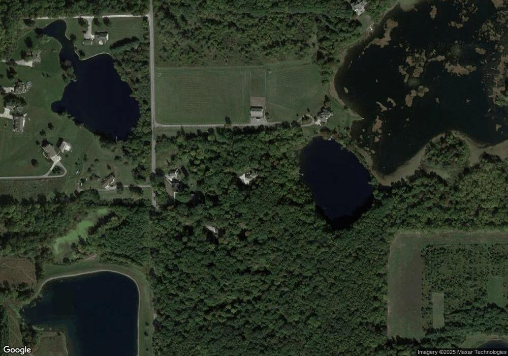
Map
Nearby Homes
- 17325 N State Road 1
- 17749 Castlefeane Ct
- 17740 Castlefeane Ct
- 18096 Tullymore Ln Unit 34TR
- 18015 Tullymore Ln
- 10491 Beaugreen Cove
- 10483 Spamount Cove
- 17883 Carne Cove
- 17581 Letterbrick Run
- 17411 Letterbrick Run
- 18832 Amstutz Rd
- 10205 Consta Verde Commons
- 17331 Amstutz Rd
- 15471 Makarios Pass Unit 35
- 10809 Conrad Creek Ct
- 15332 Makarios Pass
- 10802 Conrad Creek Ct Unit 23
- 15354 Makarios Pass Unit 9
- 10932 Conrad Creek Ct
- 15386 Makarios Pass Unit 8
- 18320 Devall Rd
- 18830 Devall Rd
- 18500 Devall Rd
- 18516 Devall Rd
- 18403 Devall Rd
- 18812 Devall Rd
- 18625 Devall Rd
- 18335 Devall Rd
- 18808 Devall Rd
- 18629 Devall Rd
- 18627 Devall Rd
- 18017 Devall Rd
- 18331 Devall Rd
- 17819 Mcnabb Rd
- 17924 Devall Rd
- 18333 Devall Rd
- 18814 Devall Rd
- 18922 Devall Rd
- 18633 Devall Rd
- 18918 Devall Rd
Your Personal Tour Guide
Ask me questions while you tour the home.