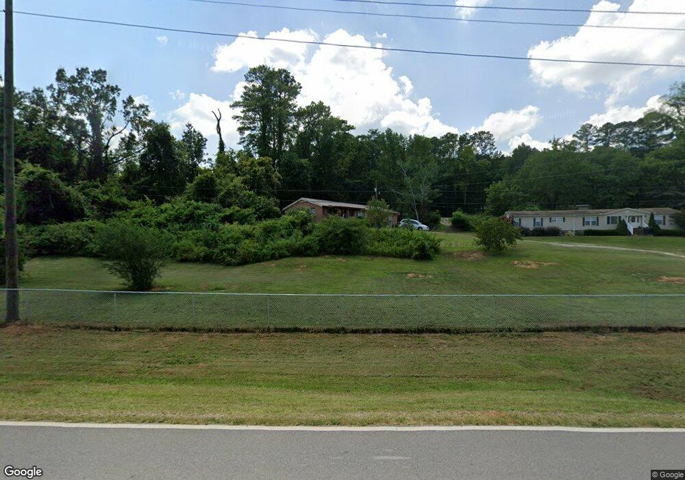
1851 E Upper River Rd Decatur, AL 35603
Estimated Value: $224,390 - $449,000
Studio
1
Bath
1,593
Sq Ft
$193/Sq Ft
Est. Value
About This Home
This home is located at 1851 E Upper River Rd, Decatur, AL 35603 and is currently estimated at $307,848, approximately $193 per square foot. 1851 E Upper River Rd is a home located in Morgan County with nearby schools including Priceville Elementary School, Priceville Junior High School, and Priceville High School.
Ownership History
Date
Name
Owned For
Owner Type
Purchase Details
Closed on
Apr 21, 2025
Sold by
Haynes Clara R
Bought by
Haynes Jeremy Scott
Current Estimated Value
Purchase Details
Closed on
Aug 3, 2009
Sold by
Haynes Clara
Bought by
Haynes Clara R
Home Financials for this Owner
Home Financials are based on the most recent Mortgage that was taken out on this home.
Original Mortgage
$87,092
Interest Rate
5.1%
Mortgage Type
New Conventional
Purchase Details
Closed on
Jul 30, 2009
Sold by
Haynes Jerry David
Bought by
Haynes Clara
Home Financials for this Owner
Home Financials are based on the most recent Mortgage that was taken out on this home.
Original Mortgage
$87,092
Interest Rate
5.1%
Mortgage Type
New Conventional
Create a Home Valuation Report for This Property
The Home Valuation Report is an in-depth analysis detailing your home's value as well as a comparison with similar homes in the area
Purchase History
| Date | Buyer | Sale Price | Title Company |
|---|---|---|---|
| Haynes Jeremy Scott | $8,000 | None Listed On Document | |
| Haynes Jeremy Scott | $8,000 | None Listed On Document | |
| Haynes Clara R | -- | None Available | |
| Haynes Clara | -- | None Available |
Source: Public Records
Mortgage History
| Date | Status | Borrower | Loan Amount |
|---|---|---|---|
| Previous Owner | Haynes Clara R | $87,092 |
Source: Public Records
Tax History
| Year | Tax Paid | Tax Assessment Tax Assessment Total Assessment is a certain percentage of the fair market value that is determined by local assessors to be the total taxable value of land and additions on the property. | Land | Improvement |
|---|---|---|---|---|
| 2024 | $65 | $21,440 | $3,000 | $18,440 |
| 2023 | $59 | $21,440 | $3,000 | $18,440 |
| 2022 | $59 | $21,440 | $3,000 | $18,440 |
| 2021 | $101 | $13,650 | $3,570 | $10,080 |
| 2020 | $101 | $22,570 | $3,570 | $19,000 |
| 2019 | $101 | $14,420 | $0 | $0 |
| 2015 | $111 | $13,960 | $0 | $0 |
| 2014 | $111 | $13,960 | $0 | $0 |
| 2013 | -- | $12,140 | $0 | $0 |
Source: Public Records
Map
Nearby Homes
- 206 Red Bud Ln
- 35 Winchester Dr
- 160 Hagood Dr
- 1120 Friendship Rd
- 842 Friendship Rd
- 2845 E Upper River Rd
- 1270 Rountree Place
- 117 Ginhouse Way
- 228 Schoolhouse Dr
- 300 Partheway St
- 123 Emory Dr
- 1095 Maplehurst St
- 1055 Maplehurst St
- 1085 Maplehurst St
- 148 Pine St
- 213 Brookhill Rd
- 1015 Maplehurst St
- 1025 Maplehurst St
- 1020 Maplehurst St
- 1005 Maplehurst St
- 289 Red Bud Ln
- 292 Red Bud Ln
- 1898 E Upper River Rd
- 1903 E Upper River Rd
- 1820 E Upper River Rd
- 1814 E Upper River Rd
- 318 Red Bud Ln
- 1840 E Upper River Rd
- 1905 E Upper River Rd
- 1874 E Upper River Rd
- 1921 E Upper River Rd
- 1921 E Upper River Rd
- 195 Red Bud Ln
- 330 Red Bud Ln
- 187 Red Bud Ln
- 1870 E Upper River Rd
- 1933 E Upper River Rd
- 1757 County Rd 40
- 181 Red Bud Ln
- 1924 E Upper River Rd
Your Personal Tour Guide
Ask me questions while you tour the home.