1851 Hawthorne Cir Jamison, PA 18929
Estimated Value: $666,000 - $799,000
4
Beds
3
Baths
2,496
Sq Ft
$294/Sq Ft
Est. Value
About This Home
This home is located at 1851 Hawthorne Cir, Jamison, PA 18929 and is currently estimated at $734,967, approximately $294 per square foot. 1851 Hawthorne Cir is a home located in Bucks County with nearby schools including Jamison Elementary School, Tamanend Middle School, and Central Bucks High School - South.
Ownership History
Date
Name
Owned For
Owner Type
Purchase Details
Closed on
Aug 2, 2004
Sold by
Lynch Thomas J and Lynch Gretchen K
Bought by
Krier Alfred C and Crawford Bonnie S
Current Estimated Value
Home Financials for this Owner
Home Financials are based on the most recent Mortgage that was taken out on this home.
Original Mortgage
$230,000
Interest Rate
5.6%
Mortgage Type
Purchase Money Mortgage
Purchase Details
Closed on
Feb 25, 1992
Bought by
Lynch Thomas J and Lynch Gretchen K
Create a Home Valuation Report for This Property
The Home Valuation Report is an in-depth analysis detailing your home's value as well as a comparison with similar homes in the area
Home Values in the Area
Average Home Value in this Area
Purchase History
| Date | Buyer | Sale Price | Title Company |
|---|---|---|---|
| Krier Alfred C | $434,000 | -- | |
| Lynch Thomas J | $183,500 | -- |
Source: Public Records
Mortgage History
| Date | Status | Borrower | Loan Amount |
|---|---|---|---|
| Closed | Krier Alfred C | $230,000 | |
| Closed | Krier Alfred C | $160,600 |
Source: Public Records
Tax History Compared to Growth
Tax History
| Year | Tax Paid | Tax Assessment Tax Assessment Total Assessment is a certain percentage of the fair market value that is determined by local assessors to be the total taxable value of land and additions on the property. | Land | Improvement |
|---|---|---|---|---|
| 2025 | $6,997 | $40,200 | $10,680 | $29,520 |
| 2024 | $6,997 | $40,200 | $10,680 | $29,520 |
| 2023 | $6,775 | $40,200 | $10,680 | $29,520 |
| 2022 | $6,700 | $40,200 | $10,680 | $29,520 |
| 2021 | $6,625 | $40,200 | $10,680 | $29,520 |
| 2020 | $6,625 | $40,200 | $10,680 | $29,520 |
| 2019 | $6,585 | $40,200 | $10,680 | $29,520 |
| 2018 | $6,585 | $40,200 | $10,680 | $29,520 |
| 2017 | $6,535 | $40,200 | $10,680 | $29,520 |
| 2016 | $6,535 | $40,200 | $10,680 | $29,520 |
| 2015 | -- | $40,200 | $10,680 | $29,520 |
| 2014 | -- | $40,200 | $10,680 | $29,520 |
Source: Public Records
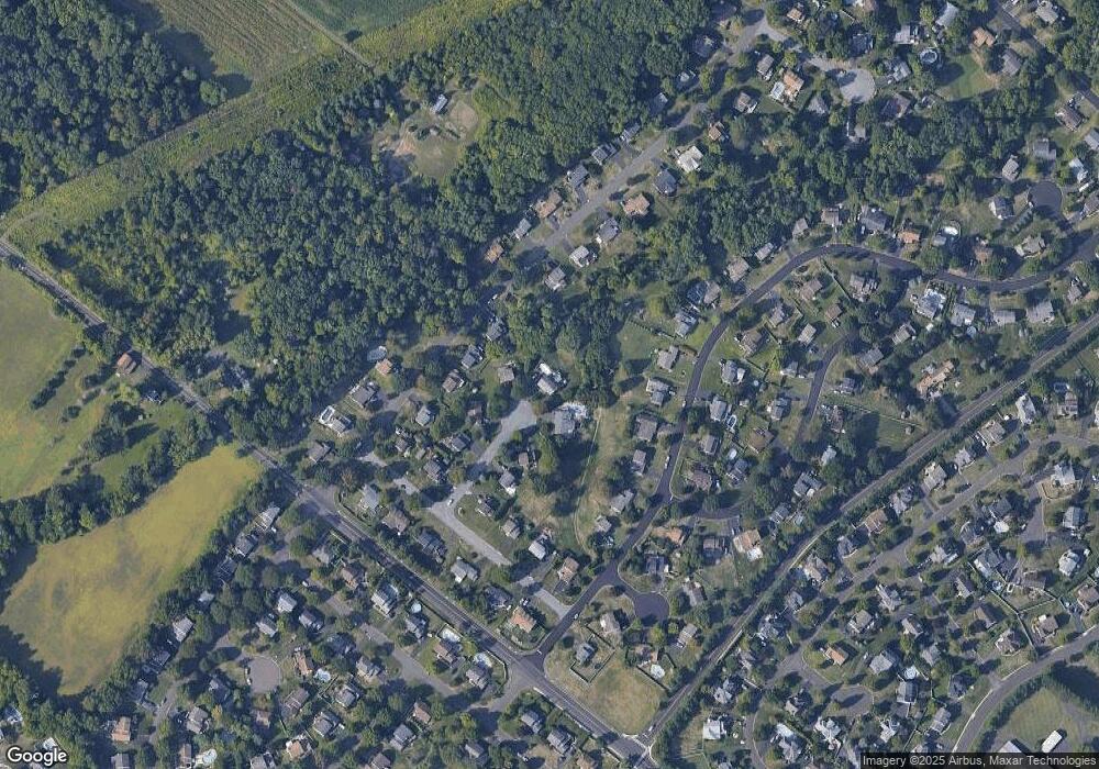
Map
Nearby Homes
- 1877 Brook Ln
- 1403 E Fernbrook Dr
- 2158 Green Ridge Dr
- 1620 Rockcress Dr
- 1447 Bentley Dr
- 2018 Buckingham Dr
- 1618 Mayfield Cir
- 1504 Springfield Ct Unit 37
- 1990 York Rd
- 2127 York Rd
- Northbrook Plan at Jamison Place
- Westmont Plan at Jamison Place
- Faraday Plan at Jamison Place
- 1554 Park Dr
- Rollins Plan at Breton Hill
- Cloverfield Plan at Breton Hill
- Kingswood Plan at Breton Hill
- Raintree Plan at Breton Hill
- Mayweather Plan at Breton Hill
- Homesite 10103 Marquis Ln
- 1847 Hawthorne Cir
- 1848 Hawthorne Cir
- 1857 Brook Ln
- 1838 Hawthorne Cir
- 1847 Brook Ln
- 1868 Sunrise Way
- 1837 Hawthorne Cir
- 1837 Brook Ln
- 1878 Sunrise Way
- 1848 Sunrise Way
- 1828 Hawthorne Cir
- 1887 Brook Ln
- 1872 Brook Ln
- 1888 Sunrise Way
- 1827 Hawthorne Cir
- 1827 Brook Ln
- 1838 Sunrise Way
- 1882 Brook Ln
- 1832 Brook Ln
- 1817 Hawthorne Cir