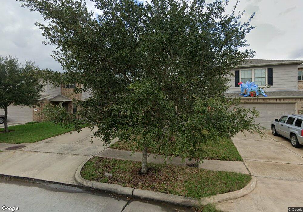
1851 Howth Ave Houston, TX 77051
Central Southwest NeighborhoodEstimated Value: $239,983 - $271,000
3
Beds
2
Baths
1,492
Sq Ft
$171/Sq Ft
Est. Value
About This Home
This home is located at 1851 Howth Ave, Houston, TX 77051 and is currently estimated at $255,246, approximately $171 per square foot. 1851 Howth Ave is a home located in Harris County with nearby schools including Reynolds Elementary School, Attucks Middle School, and Worthing High School.
Ownership History
Date
Name
Owned For
Owner Type
Purchase Details
Closed on
Nov 2, 2020
Sold by
Seven Linkedrocks Holdings Llc
Bought by
Blue Skyrocks Holdings Llc
Current Estimated Value
Purchase Details
Closed on
Jun 12, 2020
Sold by
Suwarnaranta Wisoot and Suwarnaranta Kluewan
Bought by
Seven Linkedrocks Holdings Llc
Purchase Details
Closed on
Dec 22, 2015
Sold by
Broussard Thelma T
Bought by
Suwarnaratana Wisoot and Suwarnaratana Kluewan
Purchase Details
Closed on
Mar 23, 2012
Sold by
Pulte Home Of Texs Lp
Bought by
Broussard Thelma T
Home Financials for this Owner
Home Financials are based on the most recent Mortgage that was taken out on this home.
Original Mortgage
$77,275
Interest Rate
4.25%
Mortgage Type
FHA
Create a Home Valuation Report for This Property
The Home Valuation Report is an in-depth analysis detailing your home's value as well as a comparison with similar homes in the area
Home Values in the Area
Average Home Value in this Area
Purchase History
| Date | Buyer | Sale Price | Title Company |
|---|---|---|---|
| Blue Skyrocks Holdings Llc | -- | Chicago Title | |
| Seven Linkedrocks Holdings Llc | -- | None Available | |
| Suwarnaratana Wisoot | -- | None Available | |
| Broussard Thelma T | -- | None Available |
Source: Public Records
Mortgage History
| Date | Status | Borrower | Loan Amount |
|---|---|---|---|
| Previous Owner | Broussard Thelma T | $77,275 |
Source: Public Records
Tax History Compared to Growth
Tax History
| Year | Tax Paid | Tax Assessment Tax Assessment Total Assessment is a certain percentage of the fair market value that is determined by local assessors to be the total taxable value of land and additions on the property. | Land | Improvement |
|---|---|---|---|---|
| 2025 | $6,498 | $228,204 | $45,135 | $183,069 |
| 2024 | $6,498 | $228,204 | $45,135 | $183,069 |
| 2023 | $6,498 | $227,388 | $45,135 | $182,253 |
| 2022 | $6,496 | $217,135 | $31,282 | $185,853 |
| 2021 | $5,426 | $170,000 | $31,282 | $138,718 |
| 2020 | $5,306 | $161,643 | $31,282 | $130,361 |
| 2019 | $5,088 | $156,070 | $20,110 | $135,960 |
| 2018 | $851 | $140,000 | $20,110 | $119,890 |
| 2017 | $4,746 | $140,000 | $20,110 | $119,890 |
| 2016 | $5,077 | $149,765 | $20,110 | $129,655 |
| 2015 | $3,373 | $149,765 | $20,110 | $129,655 |
| 2014 | $3,373 | $121,300 | $20,110 | $101,190 |
Source: Public Records
Map
Nearby Homes
- 11918 Oakmont Valley Trace
- 1913 Kirby Landing Dr
- 11922 Briarwood Hill Way
- 2033 Millbridge Spring Ln
- 2009 Kirby Landing Dr
- 2013 Kirby Landing Dr
- 2707 Almeda Plaza Dr
- 2719 Dragonwick Dr
- 12511 Bestview Ct
- 12509 Bestview Ct
- 12513 Bestview Ct
- 12515 Bestview Ct
- 12508 Osceola Ct
- 11726 Dandy Park Ct
- 2810 Tidewater Dr
- 11718 Red Hummingbird Dr
- 2735 Knotty Oaks Trail
- 2914 Dragonwick Dr
- 1546 Kew Garden Dr
- 2811 Sockeye Dr
- 1847 Howth Ave
- 1855 Howth Ave
- 1843 Howth Ave
- 1859 Howth Ave
- 1846 Howth Ave
- 1850 Howth Ave
- 1839 Howth Ave
- 1842 Howth Ave
- 1838 Howth Ave
- 1850 Acaciawood Way
- 1835 Howth Ave
- 1842 Acaciawood Way
- 1846 Acaciawood Way
- 1838 Acaciawood Way
- 1834 Howth Ave
- 1854 Acaciawood Way
- 1831 Howth Ave
- 1834 Acaciawood Way
- 1903 Howth Ave
- 1830 Howth Ave
