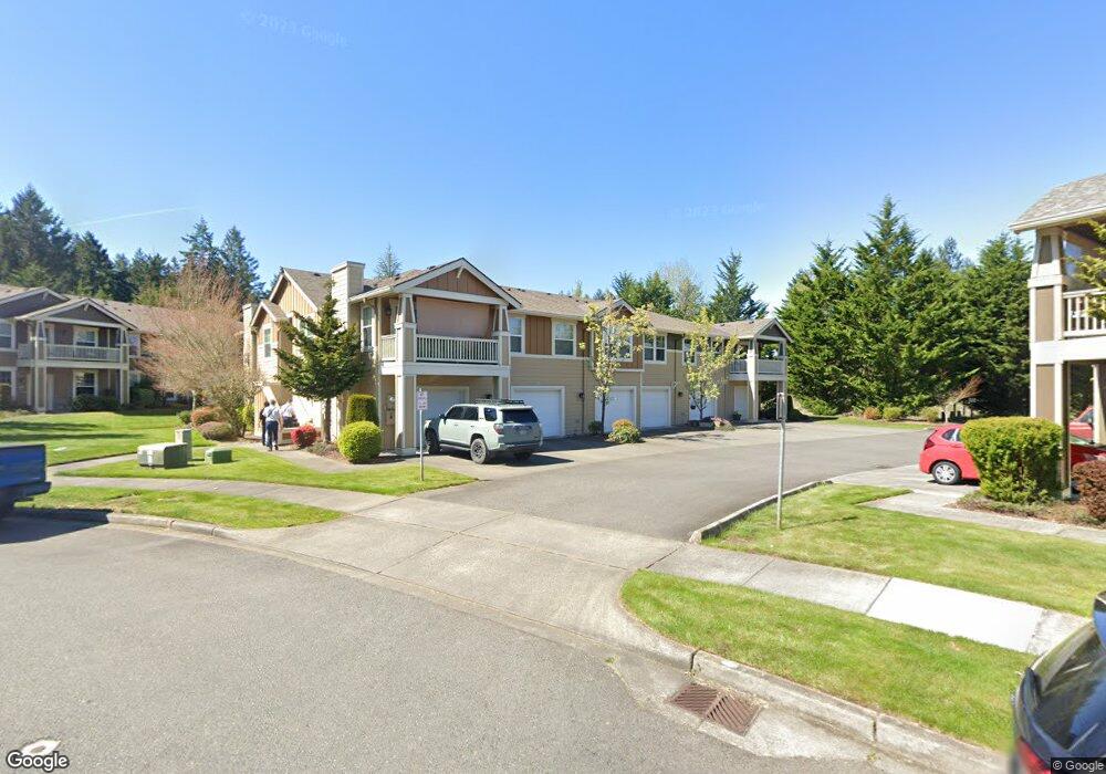
1851 Mcneil Cir Unit 2C Dupont, WA 98327
Estimated Value: $390,000 - $415,000
3
Beds
2
Baths
1,344
Sq Ft
$296/Sq Ft
Est. Value
About This Home
This home is located at 1851 Mcneil Cir Unit 2C, Dupont, WA 98327 and is currently estimated at $398,244, approximately $296 per square foot. 1851 Mcneil Cir Unit 2C is a home located in Pierce County with nearby schools including Chloe Clark Elementary School, Saltars Point Elementary School, and Pioneer Middle School.
Ownership History
Date
Name
Owned For
Owner Type
Purchase Details
Closed on
Jun 25, 2012
Sold by
Bollman Denise
Bought by
Marlan Robert and Marlan Tracy
Current Estimated Value
Purchase Details
Closed on
Dec 26, 2006
Sold by
Bollman Kenneth A
Bought by
Bollman Denise
Home Financials for this Owner
Home Financials are based on the most recent Mortgage that was taken out on this home.
Original Mortgage
$192,000
Interest Rate
7.37%
Mortgage Type
Purchase Money Mortgage
Purchase Details
Closed on
May 27, 2003
Sold by
Tilton Terry R
Bought by
King Wayne M
Home Financials for this Owner
Home Financials are based on the most recent Mortgage that was taken out on this home.
Original Mortgage
$166,500
Interest Rate
5.75%
Mortgage Type
VA
Purchase Details
Closed on
Oct 18, 2001
Sold by
Carino Homes Inc
Bought by
Tilton Terry R
Create a Home Valuation Report for This Property
The Home Valuation Report is an in-depth analysis detailing your home's value as well as a comparison with similar homes in the area
Home Values in the Area
Average Home Value in this Area
Purchase History
| Date | Buyer | Sale Price | Title Company |
|---|---|---|---|
| Marlan Robert | $170,000 | Stewart Title Company | |
| Bollman Denise | -- | Lawyers Title Agency Of Sout | |
| Bollman Denise | $240,000 | Lawyers Title Agency Of Sout | |
| King Wayne M | $166,500 | Fat | |
| Tilton Terry R | $161,654 | Rainier Title Company |
Source: Public Records
Mortgage History
| Date | Status | Borrower | Loan Amount |
|---|---|---|---|
| Previous Owner | Bollman Denise | $192,000 | |
| Previous Owner | King Wayne M | $166,500 |
Source: Public Records
Tax History Compared to Growth
Tax History
| Year | Tax Paid | Tax Assessment Tax Assessment Total Assessment is a certain percentage of the fair market value that is determined by local assessors to be the total taxable value of land and additions on the property. | Land | Improvement |
|---|---|---|---|---|
| 2025 | $2,947 | $362,500 | $107,500 | $255,000 |
| 2024 | $2,947 | $365,800 | $167,900 | $197,900 |
| 2023 | $2,947 | $365,800 | $167,900 | $197,900 |
| 2022 | $2,889 | $365,800 | $167,900 | $197,900 |
| 2021 | $3,052 | $302,900 | $139,900 | $163,000 |
| 2019 | $2,753 | $275,400 | $127,200 | $148,200 |
| 2018 | $2,419 | $269,100 | $56,700 | $212,400 |
| 2017 | $2,114 | $207,000 | $56,700 | $150,300 |
| 2016 | $1,870 | $174,200 | $56,700 | $117,500 |
| 2014 | $944 | $165,900 | $56,700 | $109,200 |
| 2013 | $944 | $153,800 | $56,700 | $97,100 |
Source: Public Records
Map
Nearby Homes
- 1821 Mcneil Cir Unit D-3
- 1875 Mcneil Cir Unit E-1
- 2055 Garry Oaks Ave Unit B
- 1856 Spencer Ct Unit 12F
- 2357 Wallace St
- 1607 Kincaid St Unit E-8
- 2420 Simmons St
- 2702 Meyer St
- 1451 Thompson Cir Unit 4A
- 1625 Palisade Blvd
- 1449 Bobs Hollow Ln
- 2176 McDonald Ave
- 2160 Anderson Ave
- 2104 Palisade Blvd Unit B-7
- 2147 Hammond Ave Unit B10
- 2176 Palisade Blvd Unit F-3
- 2198 Palisade Blvd Unit C2
- 2237 Tolmie St
- 604 Dupont Ave
- 1373 Hudson St Unit 1373
- 1855 Mcneil Cir Unit E-2
- 1835 Mcneil Cir Unit F
- 1855 Mcneil Cir Unit 3
- 1831 Mcneil Cir Unit D
- 1847 Mcneil Cir Unit 2A
- 1831 Mcneil Cir Unit D-2
- 1835 Mcneil Cir Unit F-2
- 1841 Mcneil Cir Unit B2
- 1841 Mcneil Cir Unit 2B
- 1811 Mcneil Cir Unit 3A
- 1805 Mcneil Cir Unit E3
- 1801 Mcneil Cir Unit C-3
- 1805 Mcneil Cir Unit 3E
- 1821 Mcneil Cir Unit 3D
- 1801 Mcneil Cir Unit 3C
- 1817 Mcneil Cir Unit 3B
- 1899 Mcneil Cir Unit H-1
- 1875 Mcneil Cir Unit 1-E
- 1899 Mcneil Cir Unit 1H
- 1883 Mcneil Cir Unit 1G