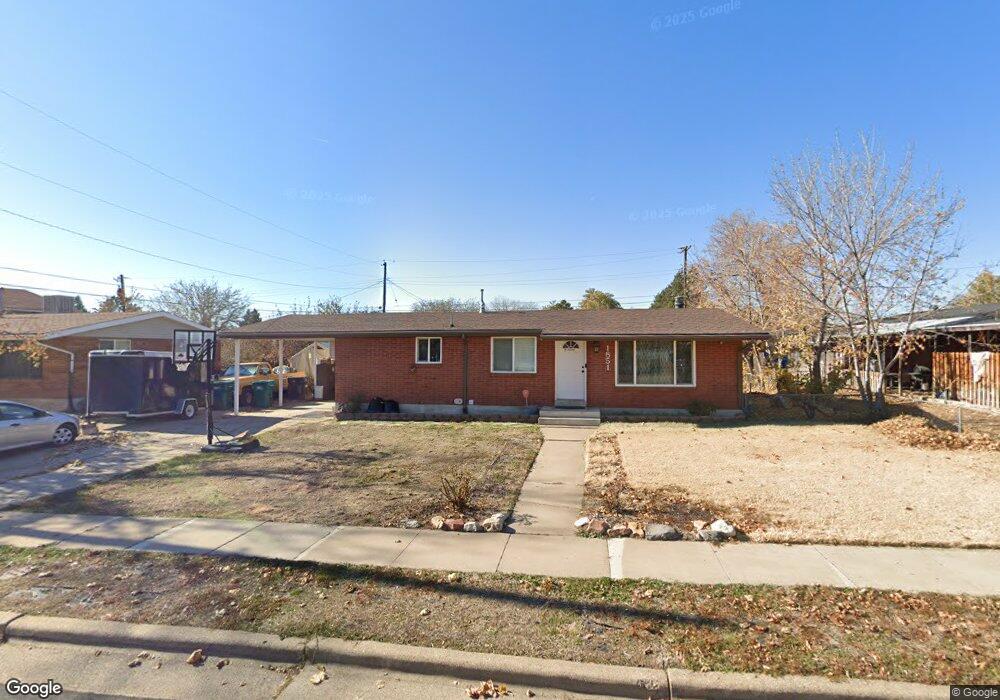
1851 N 440 W Layton, UT 84041
Estimated Value: $422,000 - $486,000
5
Beds
3
Baths
2,376
Sq Ft
$189/Sq Ft
Est. Value
About This Home
This home is located at 1851 N 440 W, Layton, UT 84041 and is currently estimated at $450,070, approximately $189 per square foot. 1851 N 440 W is a home located in Davis County with nearby schools including Lincoln Elementary School, North Layton Junior High School, and Northridge High School.
Ownership History
Date
Name
Owned For
Owner Type
Purchase Details
Closed on
Jun 1, 2021
Sold by
Potter Neil
Bought by
Hurst Brandon
Current Estimated Value
Home Financials for this Owner
Home Financials are based on the most recent Mortgage that was taken out on this home.
Original Mortgage
$183,000
Outstanding Balance
$165,322
Interest Rate
2.9%
Mortgage Type
New Conventional
Estimated Equity
$284,748
Purchase Details
Closed on
May 4, 2017
Sold by
Mallicoat Donald and Mallicoat Candice
Bought by
Potter Neil
Home Financials for this Owner
Home Financials are based on the most recent Mortgage that was taken out on this home.
Original Mortgage
$274,928
Interest Rate
4.23%
Mortgage Type
FHA
Purchase Details
Closed on
Aug 9, 2007
Sold by
Mcnully Paula J
Bought by
Mallicoat Donald and Mallicoat Candice
Purchase Details
Closed on
Mar 9, 2004
Sold by
Williams Mitchell W
Bought by
Mcnully Paula J
Home Financials for this Owner
Home Financials are based on the most recent Mortgage that was taken out on this home.
Original Mortgage
$105,900
Interest Rate
9.35%
Mortgage Type
Purchase Money Mortgage
Purchase Details
Closed on
Sep 27, 2003
Sold by
Williams Mitchell W and Williams Terry L
Bought by
Williams Mitchell W
Home Financials for this Owner
Home Financials are based on the most recent Mortgage that was taken out on this home.
Original Mortgage
$96,000
Interest Rate
6.17%
Mortgage Type
Purchase Money Mortgage
Purchase Details
Closed on
Jan 24, 2001
Sold by
Williams Mitchell W
Bought by
Williams Mitchell W and Williams Terry L
Home Financials for this Owner
Home Financials are based on the most recent Mortgage that was taken out on this home.
Original Mortgage
$63,000
Interest Rate
7.13%
Create a Home Valuation Report for This Property
The Home Valuation Report is an in-depth analysis detailing your home's value as well as a comparison with similar homes in the area
Home Values in the Area
Average Home Value in this Area
Purchase History
| Date | Buyer | Sale Price | Title Company |
|---|---|---|---|
| Hurst Brandon | -- | Charger Title Ins | |
| Potter Neil | -- | -- | |
| Mallicoat Donald | -- | Us Title Company Of Utah | |
| Mcnully Paula J | -- | Heritage West Title Ins | |
| Williams Mitchell W | -- | First American Title Co | |
| Williams Mitchell W | -- | Associated Title Company |
Source: Public Records
Mortgage History
| Date | Status | Borrower | Loan Amount |
|---|---|---|---|
| Open | Hurst Brandon | $183,000 | |
| Previous Owner | Potter Neil | $274,928 | |
| Previous Owner | Mcnully Paula J | $105,900 | |
| Previous Owner | Williams Mitchell W | $96,000 | |
| Previous Owner | Williams Mitchell W | $63,000 | |
| Closed | Mallicoat Donald | $0 |
Source: Public Records
Tax History
| Year | Tax Paid | Tax Assessment Tax Assessment Total Assessment is a certain percentage of the fair market value that is determined by local assessors to be the total taxable value of land and additions on the property. | Land | Improvement |
|---|---|---|---|---|
| 2025 | $2,059 | $216,150 | $104,249 | $111,901 |
| 2024 | $1,977 | $208,999 | $121,334 | $87,665 |
| 2023 | $1,883 | $193,050 | $78,648 | $114,401 |
| 2022 | $1,891 | $348,000 | $138,142 | $209,858 |
| 2021 | $1,756 | $265,000 | $107,569 | $157,431 |
| 2020 | $1,609 | $233,000 | $90,093 | $142,907 |
| 2019 | $1,615 | $229,000 | $85,188 | $143,812 |
| 2018 | $1,426 | $203,000 | $85,188 | $117,812 |
| 2016 | $1,261 | $92,620 | $27,487 | $65,133 |
| 2015 | $1,181 | $82,335 | $27,487 | $54,848 |
| 2014 | $1,158 | $82,576 | $27,487 | $55,089 |
| 2013 | -- | $84,395 | $24,816 | $59,579 |
Source: Public Records
Map
Nearby Homes
- 538 W 1875 N
- 1715 N Alder St
- 247 W 1925 N
- 1683 N 250 W
- 1908 N 200 W
- 498 W 2200 N
- 506 W 2200 N
- 2211 N 525 W
- 2234 N 450 W
- 2236 N 525 W
- 2246 N 475 W
- 1857 N 50 W
- 2149 N 750 W
- 1571 N 160 W
- 2048 Evans Cove Loop
- 14 W Belvedere Way
- 1500 N Angel St Unit 12
- 1500 N Angel St Unit 22
- 1500 N Angel St Unit 83
- 1094 N Angel St W
Your Personal Tour Guide
Ask me questions while you tour the home.