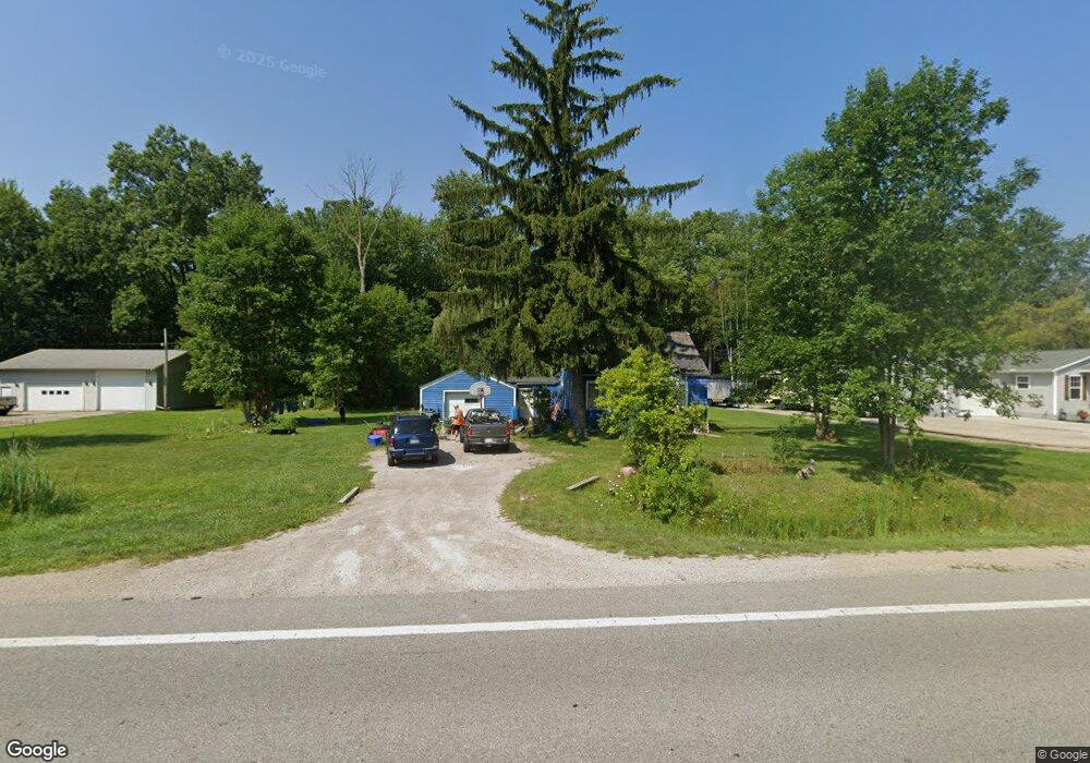
1851 Range Rd Kimball, MI 48074
Estimated Value: $107,864 - $153,000
1
Bed
1
Bath
684
Sq Ft
$193/Sq Ft
Est. Value
About This Home
This home is located at 1851 Range Rd, Kimball, MI 48074 and is currently estimated at $132,216, approximately $193 per square foot. 1851 Range Rd is a home located in St. Clair County with nearby schools including Kimball Elementary School, Central Middle School, and Port Huron High School.
Create a Home Valuation Report for This Property
The Home Valuation Report is an in-depth analysis detailing your home's value as well as a comparison with similar homes in the area
Home Values in the Area
Average Home Value in this Area
Tax History
| Year | Tax Paid | Tax Assessment Tax Assessment Total Assessment is a certain percentage of the fair market value that is determined by local assessors to be the total taxable value of land and additions on the property. | Land | Improvement |
|---|---|---|---|---|
| 2025 | $1,265 | $44,900 | $0 | $0 |
| 2024 | $1,227 | $42,800 | $0 | $0 |
| 2023 | $1,149 | $41,300 | $0 | $0 |
| 2022 | $1,691 | $34,400 | $0 | $0 |
| 2020 | $1,612 | $31,300 | $31,300 | $0 |
| 2019 | $1,597 | $27,700 | $0 | $0 |
| 2018 | $1,524 | $28,500 | $0 | $0 |
| 2017 | $1,535 | $31,800 | $0 | $0 |
| 2016 | $861 | $31,800 | $0 | $0 |
| 2015 | -- | $30,700 | $30,700 | $0 |
| 2014 | -- | $26,300 | $26,300 | $0 |
| 2013 | -- | $33,200 | $0 | $0 |
Source: Public Records
Map
Nearby Homes
- 1405 Range Rd
- 0000 Range Rd
- 00 Range Rd
- 1814 Leland Rd
- 1786 Omar Rd
- 0 Wall Rd Unit 50185999
- V/L Allen
- 00 Howard Rd
- 1604 Allen Rd
- 1255 Quain Ln
- 284 Rosebud Ct
- 0 Allen Rd Unit 20250008597
- 0 Allen Rd Unit 20250008612
- 174 Meadow Ln
- 104 Oldbrook Ln
- 5035 Burma Rd
- 4380 Lapeer Rd
- 153 Meadow Ln
- 0 Lapeer Rd Unit 50137357
- 0000 Wisconsin Wisconsin Ave
Your Personal Tour Guide
Ask me questions while you tour the home.