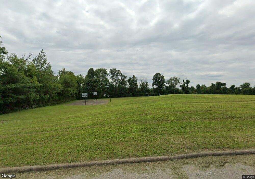
1851 S State Route 377 Stockport, OH 43787
Estimated Value: $183,000 - $278,000
2
Beds
1
Bath
1,200
Sq Ft
$182/Sq Ft
Est. Value
About This Home
This home is located at 1851 S State Route 377, Stockport, OH 43787 and is currently estimated at $218,949, approximately $182 per square foot. 1851 S State Route 377 is a home with nearby schools including Morgan High School.
Ownership History
Date
Name
Owned For
Owner Type
Purchase Details
Closed on
Feb 3, 2012
Sold by
Bowman Justin M and Bowman Brandi L
Bought by
Township Penn
Current Estimated Value
Purchase Details
Closed on
Jun 30, 2011
Sold by
Isckes Paul C
Bought by
Bowman Justin M and Bowman Brandi L
Home Financials for this Owner
Home Financials are based on the most recent Mortgage that was taken out on this home.
Original Mortgage
$36,500
Interest Rate
4.56%
Mortgage Type
Unknown
Purchase Details
Closed on
Feb 17, 2006
Sold by
Peavler Darla K
Bought by
Ickes Paul C and Ickes Carol S
Purchase Details
Closed on
May 8, 1995
Sold by
Harshberger Ethel M
Bought by
Peavler Darla K
Create a Home Valuation Report for This Property
The Home Valuation Report is an in-depth analysis detailing your home's value as well as a comparison with similar homes in the area
Home Values in the Area
Average Home Value in this Area
Purchase History
| Date | Buyer | Sale Price | Title Company |
|---|---|---|---|
| Township Penn | -- | None Available | |
| Bowman Justin M | $18,500 | None Available | |
| Ickes Paul C | $20,000 | -- | |
| Peavler Darla K | $12,000 | -- |
Source: Public Records
Mortgage History
| Date | Status | Borrower | Loan Amount |
|---|---|---|---|
| Previous Owner | Bowman Justin M | $36,500 |
Source: Public Records
Tax History Compared to Growth
Tax History
| Year | Tax Paid | Tax Assessment Tax Assessment Total Assessment is a certain percentage of the fair market value that is determined by local assessors to be the total taxable value of land and additions on the property. | Land | Improvement |
|---|---|---|---|---|
| 2024 | $1,410 | $43,310 | $13,600 | $29,710 |
| 2023 | $1,410 | $34,040 | $11,080 | $22,960 |
| 2022 | $1,110 | $34,040 | $11,080 | $22,960 |
| 2021 | $1,121 | $34,040 | $11,080 | $22,960 |
| 2019 | $1,082 | $30,940 | $10,070 | $20,870 |
| 2018 | $1,117 | $33,170 | $12,890 | $20,280 |
| 2017 | $951 | $27,510 | $9,856 | $17,654 |
| 2016 | $954 | $27,510 | $9,856 | $17,654 |
| 2015 | $788 | $22,687 | $9,856 | $12,831 |
| 2014 | $813 | $22,687 | $9,856 | $12,831 |
| 2013 | $806 | $22,687 | $9,856 | $12,831 |
Source: Public Records
Map
Nearby Homes
- 1673 S State Route 377
- 0 Downing Rd
- 0 Benjamin Rd
- 781 Downing Rd
- 681 Downing Rd
- 643 Townsend Rd
- 0 Coler Rd
- 160 N Riverview Rd
- 0 Upper Douda Rd Unit 225030416
- 7.38 acres County Road 13
- 3265 Tieber Rd
- 75 S River Rd SE
- 1715 South St
- 1770 Broadway St
- 0 Meadow St Unit Lot 9 5158299
- 0 Meadow St Unit Lot 9 225008020
- 1920 North St
- 1960 Broadway St
- 3205 Goshen Run Rd
- 5174 Lightner Ridge Rd
- 1800 South St
- 1795 S State Route 377
- 1786 S State Route 377
- 1401 Washington St
- 1365 S State Route 377
- 1375 S State Route 377
- 1355 Washington St
- 1405 Washington St
- 1670 S State Route 377
- 1679 Penn St
- 1322 S State Route 377
- 1300 Washington St
- 1322 Washington St
- 1666 Penn St
- 1712 S State Route 377
- 1350 Columbus St
- 1340 Columbus St
- 1650 S State Route 377
- 1307 Columbus St
- 1333 Columbus St
