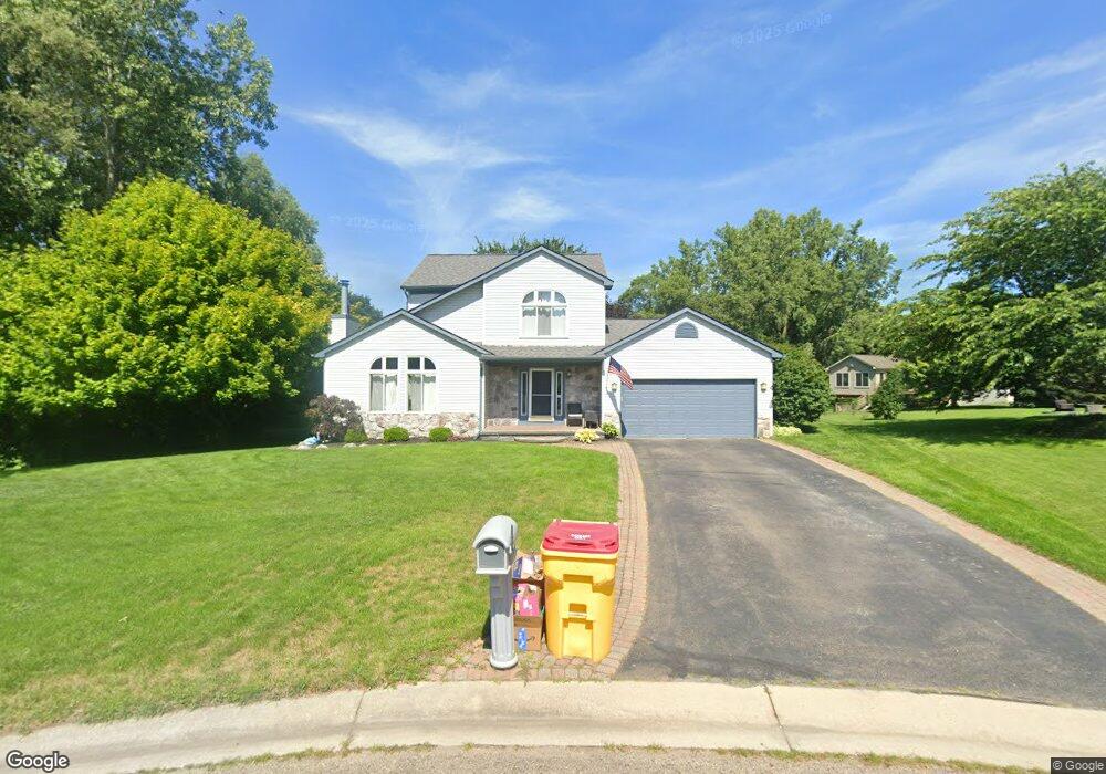
1851 Stanford Ct Oxford, MI 48371
Estimated Value: $360,222 - $384,000
3
Beds
2
Baths
1,565
Sq Ft
$236/Sq Ft
Est. Value
About This Home
This home is located at 1851 Stanford Ct, Oxford, MI 48371 and is currently estimated at $368,806, approximately $235 per square foot. 1851 Stanford Ct is a home located in Oakland County with nearby schools including Clear Lake Elementary School, Oxford Middle School, and Oxford High School.
Ownership History
Date
Name
Owned For
Owner Type
Purchase Details
Closed on
Feb 1, 2024
Sold by
Frank Tyler J and Frank Elizabeth J
Bought by
Frank Tyler J and Frank Tyler J
Current Estimated Value
Purchase Details
Closed on
Aug 12, 2020
Sold by
Boreo Rebecca L and Boreo Brian W
Bought by
Frank Tyler and Frank Elizabeth
Purchase Details
Closed on
Aug 27, 1996
Sold by
Dearing Julie
Bought by
Boreo Brian W
Home Financials for this Owner
Home Financials are based on the most recent Mortgage that was taken out on this home.
Original Mortgage
$102,000
Interest Rate
8.29%
Purchase Details
Closed on
Feb 14, 1995
Sold by
Grp Little John
Bought by
Crest Homes Real Est Bldg Co
Create a Home Valuation Report for This Property
The Home Valuation Report is an in-depth analysis detailing your home's value as well as a comparison with similar homes in the area
Home Values in the Area
Average Home Value in this Area
Purchase History
| Date | Buyer | Sale Price | Title Company |
|---|---|---|---|
| Frank Tyler J | -- | None Listed On Document | |
| Frank Tyler | $273,000 | Cislo Title Co | |
| Boreo Brian W | $165,000 | -- | |
| Crest Homes Real Est Bldg Co | $33,392 | -- |
Source: Public Records
Mortgage History
| Date | Status | Borrower | Loan Amount |
|---|---|---|---|
| Previous Owner | Boreo Brian W | $102,000 |
Source: Public Records
Tax History Compared to Growth
Tax History
| Year | Tax Paid | Tax Assessment Tax Assessment Total Assessment is a certain percentage of the fair market value that is determined by local assessors to be the total taxable value of land and additions on the property. | Land | Improvement |
|---|---|---|---|---|
| 2024 | $3,082 | $149,440 | $0 | $0 |
| 2023 | $2,939 | $136,580 | $0 | $0 |
| 2022 | $4,549 | $127,490 | $0 | $0 |
| 2021 | $4,349 | $120,320 | $0 | $0 |
| 2020 | $1,592 | $114,700 | $0 | $0 |
| 2019 | $3,026 | $109,580 | $0 | $0 |
| 2018 | $3,050 | $103,120 | $0 | $0 |
| 2017 | $2,999 | $99,230 | $0 | $0 |
| 2016 | $2,188 | $93,830 | $0 | $0 |
| 2015 | -- | $87,930 | $0 | $0 |
| 2014 | -- | $81,270 | $0 | $0 |
| 2011 | -- | $65,830 | $0 | $0 |
Source: Public Records
Map
Nearby Homes
- 1612 Royal Birkdale Dr Unit 77
- 1628 Royal Birkdale Dr Unit 76
- 1667 Royal Birkdale Dr
- 967 Keith St
- 2060 W Drahner Rd
- 1910 Royal Birkdale Dr
- 774 Keith St
- 1 Pinery Ct
- 1320 W Drahner Rd
- 1315 Beemer Ct
- 815 Pinery Blvd
- 1126 Watersmeet Dr
- 1611 Harwood Dr
- 767 Pinery Blvd
- 573 Nakomis Trail
- 302 Tanview Dr
- 948 Watersmeet Dr
- 1060 Tinley Blvd
- 101 N Newman Rd
- 2480 Indianwood Rd
- 1835 Stanford Ct
- 1850 Stanford Ct
- 1859 Radcliff Dr
- 1845 Worcester Dr
- 1833 Worcester Dr
- 1813 Stanford Ct
- 1875 Radcliff Dr
- 1834 Stanford Ct
- 1819 Worcester Dr
- 1812 Stanford Ct
- 1865 Worcester Dr
- 1375 Pembroke Ln
- 1372 Somerville Dr
- 1881 Worcester Dr
- 1387 Pembroke Ln
- 1363 Pembroke Ln
- 1846 Worcester Dr
- 1311 Somerville Dr
- 1834 Worcester Dr
- 1893 Worcester Dr