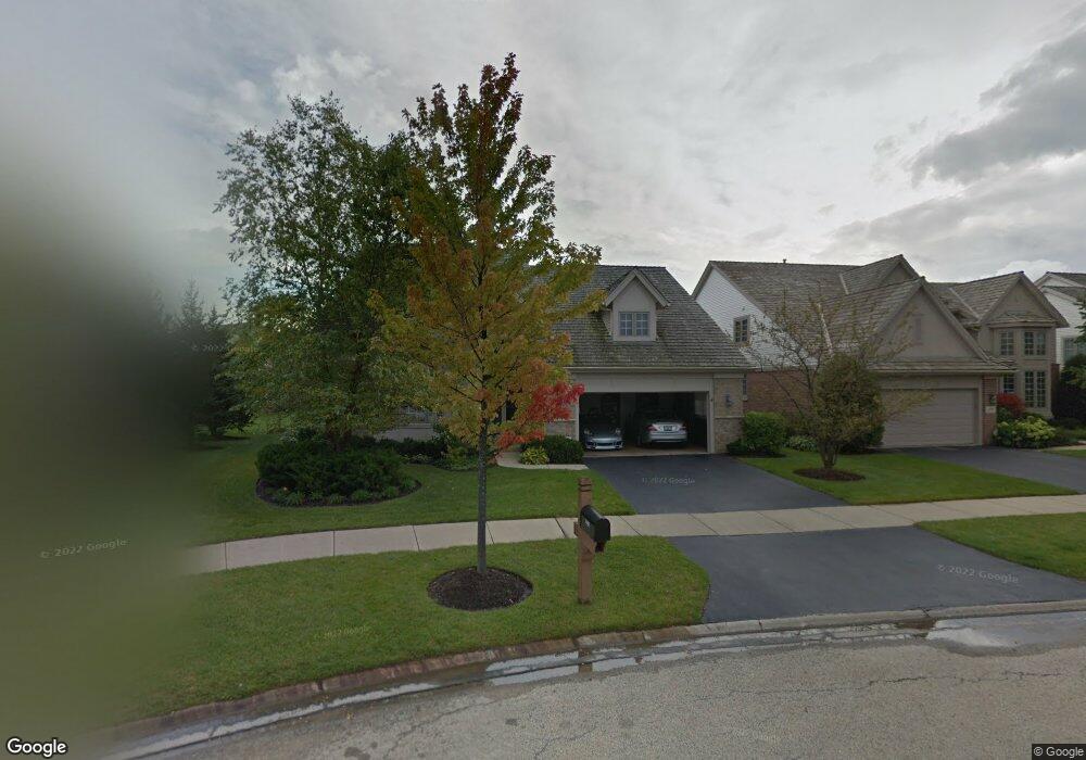
1851 Wyndham Cir Glenview, IL 60025
Estimated Value: $1,139,000 - $1,281,000
4
Beds
3
Baths
3,272
Sq Ft
$360/Sq Ft
Est. Value
About This Home
This home is located at 1851 Wyndham Cir, Glenview, IL 60025 and is currently estimated at $1,177,989, approximately $360 per square foot. 1851 Wyndham Cir is a home located in Cook County with nearby schools including Lyon Elementary School, Pleasant Ridge Elementary School, and Attea Middle School.
Ownership History
Date
Name
Owned For
Owner Type
Purchase Details
Closed on
Jun 13, 2000
Sold by
Emme George R and Emme Susan P
Bought by
Emme George R and Emme Susan P
Current Estimated Value
Purchase Details
Closed on
Dec 17, 1999
Sold by
Heatherfield Venture
Bought by
Ette George R and Wessel Susan E
Home Financials for this Owner
Home Financials are based on the most recent Mortgage that was taken out on this home.
Original Mortgage
$200,000
Outstanding Balance
$62,657
Interest Rate
7.87%
Estimated Equity
$1,115,332
Create a Home Valuation Report for This Property
The Home Valuation Report is an in-depth analysis detailing your home's value as well as a comparison with similar homes in the area
Home Values in the Area
Average Home Value in this Area
Purchase History
| Date | Buyer | Sale Price | Title Company |
|---|---|---|---|
| Emme George R | -- | -- | |
| Ette George R | $609,500 | -- |
Source: Public Records
Mortgage History
| Date | Status | Borrower | Loan Amount |
|---|---|---|---|
| Open | Ette George R | $200,000 |
Source: Public Records
Tax History Compared to Growth
Tax History
| Year | Tax Paid | Tax Assessment Tax Assessment Total Assessment is a certain percentage of the fair market value that is determined by local assessors to be the total taxable value of land and additions on the property. | Land | Improvement |
|---|---|---|---|---|
| 2024 | $15,270 | $72,961 | $19,300 | $53,661 |
| 2023 | $14,799 | $74,957 | $19,300 | $55,657 |
| 2022 | $14,799 | $74,957 | $19,300 | $55,657 |
| 2021 | $17,406 | $75,930 | $9,264 | $66,666 |
| 2020 | $17,301 | $75,930 | $9,264 | $66,666 |
| 2019 | $16,117 | $83,440 | $9,264 | $74,176 |
| 2018 | $15,173 | $72,155 | $8,106 | $64,049 |
| 2017 | $14,793 | $72,155 | $8,106 | $64,049 |
| 2016 | $16,410 | $81,857 | $8,106 | $73,751 |
| 2015 | $12,513 | $57,042 | $6,562 | $50,480 |
| 2014 | $12,306 | $57,042 | $6,562 | $50,480 |
| 2013 | $13,585 | $64,444 | $6,562 | $57,882 |
Source: Public Records
Map
Nearby Homes
- 2700 Summit Dr Unit 101
- 2700 Summit Dr Unit 409
- 2688 Summit Dr
- 2640 Summit Dr Unit 110
- 1300 W Branch Rd
- 804 8th St
- 955 Kensington Dr Unit 8B1
- 1833 Wildberry Dr Unit E
- 2430 Dorina Dr
- 2220 Founders Dr Unit 116
- 2220 Founders Dr Unit P102
- 2220 Founders Dr Unit 316
- 2220 Founders Dr Unit 227
- 2220 Founders Dr Unit 215
- 2220 Founders Dr Unit 323
- 2220 Founders Dr Unit 314
- 2150 Founders Dr Unit 247
- 2150 Founders Dr Unit P110
- 2150 Founders Dr Unit P108
- 2150 Founders Dr Unit 234
- 1855 Wyndham Cir
- 1847 Wyndham Cir Unit 1
- 1820 Waterbury Cir
- 1824 Waterbury Cir Unit 1
- 1903 Wyndham Cir
- 1843 Wyndham Cir Unit 1
- 1816 Waterbury Cir
- 1828 Waterbury Cir
- 1907 Wyndham Cir
- 1850 Wyndham Cir
- 1832 Waterbury Cir
- 1812 Waterbury Cir
- 1904 Wyndham Cir
- 1912 Wyndham Cir
- 1819 Camden Dr Unit 2
- 1908 Wyndham Cir
- 1916 Wyndham Cir
- 1821 Camden Dr
- 1811 Waterbury Cir
- 1823 Camden Dr
