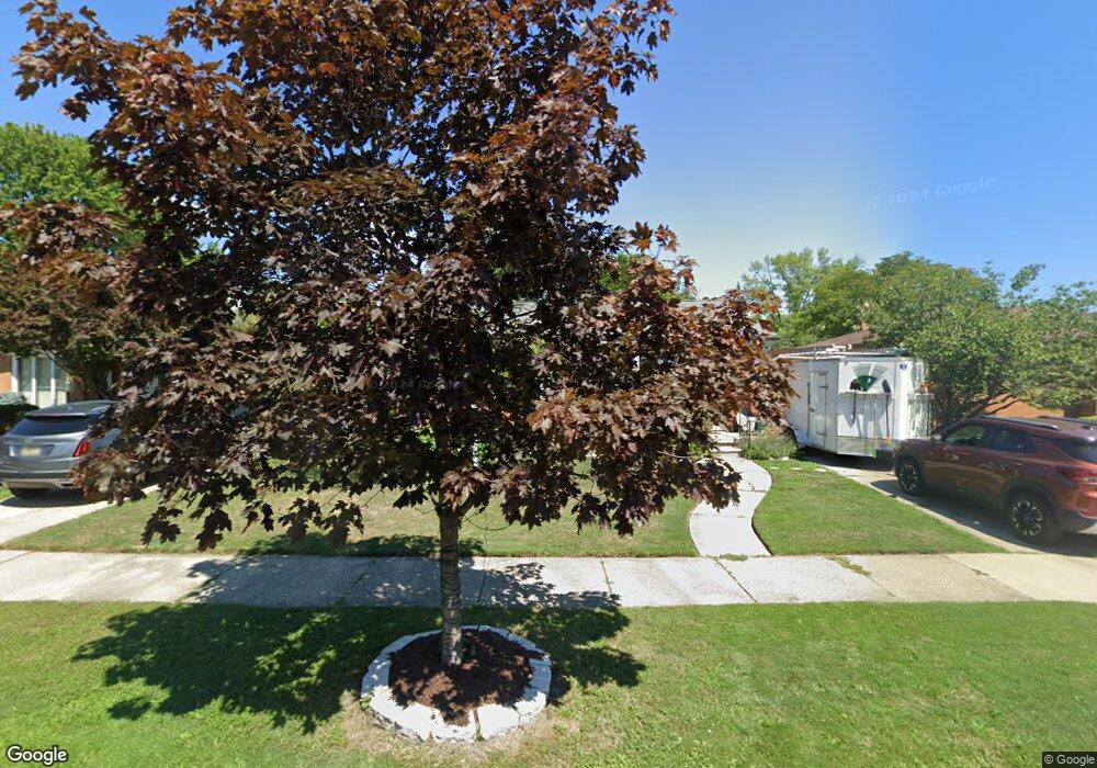
18515 Michael Ave Eastpointe, MI 48021
Estimated Value: $198,342 - $217,000
3
Beds
2
Baths
1,255
Sq Ft
$163/Sq Ft
Est. Value
About This Home
This home is located at 18515 Michael Ave, Eastpointe, MI 48021 and is currently estimated at $204,336, approximately $162 per square foot. 18515 Michael Ave is a home located in Macomb County with nearby schools including Forest Park Elementary School, Eastpointe Middle School, and Reach Charter Academy.
Ownership History
Date
Name
Owned For
Owner Type
Purchase Details
Closed on
Oct 24, 2015
Sold by
Fanfalone Gregory Joseph
Bought by
Atkinston Melissa Hope and Fanfalone Melinda Rose
Current Estimated Value
Purchase Details
Closed on
Apr 12, 2013
Sold by
Atkinson Melissa Hope
Bought by
Fanfalone Gregory Joseph
Purchase Details
Closed on
Jul 13, 2009
Sold by
Grady Brian and Grady Katherine
Bought by
Citizens Bank and Republic Bank
Purchase Details
Closed on
May 7, 2009
Sold by
Mortgage Electronic Registration Systems
Bought by
Citizens Bank and Republic Bank
Purchase Details
Closed on
May 1, 2009
Sold by
Brady Brian W and Grady Katherine M
Bought by
Mortgage Electronic Registration Systems
Purchase Details
Closed on
Dec 31, 2002
Sold by
Michigan Land Contracts Inc
Bought by
Grady Brian and Grady Katherine
Purchase Details
Closed on
Dec 22, 1999
Sold by
Mischnick Robert D
Bought by
Jech Timothy B
Create a Home Valuation Report for This Property
The Home Valuation Report is an in-depth analysis detailing your home's value as well as a comparison with similar homes in the area
Home Values in the Area
Average Home Value in this Area
Purchase History
| Date | Buyer | Sale Price | Title Company |
|---|---|---|---|
| Atkinston Melissa Hope | -- | None Available | |
| Fanfalone Gregory Joseph | -- | None Available | |
| Citizens Bank | -- | None Available | |
| Citizens Bank | -- | None Available | |
| Mortgage Electronic Registration Systems | $125,423 | None Available | |
| Grady Brian | $145,000 | Summit Title | |
| Jech Timothy B | $130,000 | -- |
Source: Public Records
Tax History Compared to Growth
Tax History
| Year | Tax Paid | Tax Assessment Tax Assessment Total Assessment is a certain percentage of the fair market value that is determined by local assessors to be the total taxable value of land and additions on the property. | Land | Improvement |
|---|---|---|---|---|
| 2025 | $2,558 | $98,200 | $0 | $0 |
| 2024 | $2,416 | $92,300 | $0 | $0 |
| 2023 | $2,339 | $83,300 | $0 | $0 |
| 2022 | $2,418 | $71,400 | $0 | $0 |
| 2021 | $2,381 | $64,200 | $0 | $0 |
| 2020 | $2,274 | $63,400 | $0 | $0 |
| 2019 | $2,282 | $51,000 | $0 | $0 |
| 2018 | $2,325 | $43,980 | $0 | $0 |
| 2017 | $2,161 | $38,780 | $3,210 | $35,570 |
| 2016 | $2,354 | $38,780 | $0 | $0 |
| 2015 | $2,199 | $33,780 | $0 | $0 |
| 2013 | $2,482 | $33,020 | $0 | $0 |
Source: Public Records
Map
Nearby Homes
- 24296 Roxana Ave
- 24301 Kelly Rd
- 24336 Warrington Ct
- 18240 Stephens Dr
- 24504 Marine Ave
- 23805 Raven Ave
- 24821 Almond Ave
- 23311 Courtland Ave
- 23329 Roxana Ave
- 23805 Johnston Ave
- 24880 Warrington Ave
- 24648 Wilmot Ave
- 24834 Raven Ave
- 23080 Marine Ave
- 24893 Raven Ave
- 23038 Rosalind Ave
- 22839 Almond Ave
- 23373 Wilmot Ave
- 23785 Schroeder Ave
- 24675 Ridgecroft Ave
- 18525 Michael Ave
- 18505 Michael Ave
- 24277 Courtland Ave
- 18504 Courtland Ct
- 18495 Michael Ave
- 18494 Courtland Ct
- 24287 Courtland Ave
- 18514 Michael Ave
- 18545 Michael Ave
- 18504 Michael Ave
- 18524 Michael Ave
- 18485 Michael Ave
- 18534 Michael Ave
- 24276 Courtland Ave
- 18555 Michael Ave
- 18494 Michael Ave
- 18544 Michael Ave
- 18544 Michael Ave Unit Michael
- 24286 Courtland Ave
- 18484 Michael Ave