Estimated Value: $607,000 - $730,940
3
Beds
2
Baths
2,415
Sq Ft
$277/Sq Ft
Est. Value
About This Home
This home is located at 18516 State Route 33, Holt, MO 64048 and is currently estimated at $669,647, approximately $277 per square foot. 18516 State Route 33 is a home located in Clay County with nearby schools including Kearney Junior High School, Kearney High School, and Northern Hills Christian Academy.
Ownership History
Date
Name
Owned For
Owner Type
Purchase Details
Closed on
Feb 6, 2018
Sold by
Dostal Kevin J and Dostal Janet M
Bought by
Dostal Kevin J and Dostal Janet M
Current Estimated Value
Purchase Details
Closed on
Jun 23, 2005
Sold by
Swindler Stephen F and Swindler Carol A
Bought by
Dostal Kevin J and Dostal Janet M
Home Financials for this Owner
Home Financials are based on the most recent Mortgage that was taken out on this home.
Original Mortgage
$190,000
Interest Rate
5.76%
Mortgage Type
Fannie Mae Freddie Mac
Purchase Details
Closed on
May 22, 2001
Sold by
Woehrman Norma J
Bought by
Swindler Stephen F and Swindler Carol A
Home Financials for this Owner
Home Financials are based on the most recent Mortgage that was taken out on this home.
Original Mortgage
$240,000
Interest Rate
7.01%
Purchase Details
Closed on
Dec 30, 1999
Sold by
Woehrman James R and Woehrman Norma J
Bought by
Woehrman Norma J and Norma J Woehrman Trust
Create a Home Valuation Report for This Property
The Home Valuation Report is an in-depth analysis detailing your home's value as well as a comparison with similar homes in the area
Home Values in the Area
Average Home Value in this Area
Purchase History
| Date | Buyer | Sale Price | Title Company |
|---|---|---|---|
| Dostal Kevin J | -- | None Available | |
| Dostal Kevin J | -- | Multiple | |
| Swindler Stephen F | -- | Thomson Title Corp | |
| Woehrman Norma J | -- | -- |
Source: Public Records
Mortgage History
| Date | Status | Borrower | Loan Amount |
|---|---|---|---|
| Closed | Dostal Kevin J | $190,000 | |
| Previous Owner | Swindler Stephen F | $240,000 |
Source: Public Records
Tax History
| Year | Tax Paid | Tax Assessment Tax Assessment Total Assessment is a certain percentage of the fair market value that is determined by local assessors to be the total taxable value of land and additions on the property. | Land | Improvement |
|---|---|---|---|---|
| 2025 | $5,993 | $99,920 | -- | -- |
| 2024 | $5,993 | $89,210 | -- | -- |
| 2023 | $5,720 | $89,210 | $0 | $0 |
| 2022 | $5,192 | $79,340 | $0 | $0 |
| 2021 | $5,196 | $79,344 | $12,198 | $67,146 |
| 2020 | $5,095 | $72,050 | $0 | $0 |
| 2019 | $5,112 | $72,050 | $0 | $0 |
Source: Public Records
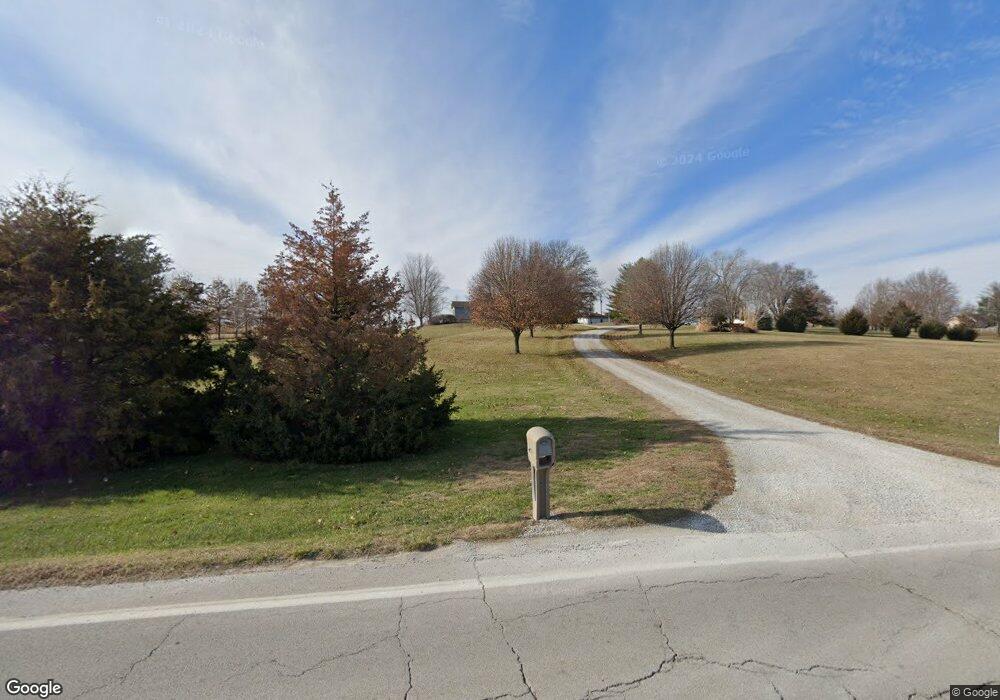
Map
Nearby Homes
- 0 Lot 3 Arnold Park Lot N A Unit HMS2572330
- 0 Lot 5 Arnold Park Lot N A Unit HMS2572371
- 17813 Thompson Rd
- 17710 Sycamore St
- 17504 State Route 33
- TBD 188th Street N A
- Tract 2 Nation Rd
- 16816 Landmark Loop
- 19616 NE 190th St
- 19412 Shanks Rd
- 606 Water St
- 610 Waters St
- Lot 4 Arnold Park
- Lot 2 Arnold Park
- Lot 3 Arnold Park
- 175 3rd St
- 19020 Scott Rd
- 887 201st St
- Lot 5 Arnold Park
- 14411 Henson Rd
- 18524 State Route 33
- 18604 State Route 33
- 18500 State Route 33
- 17004 NE 184th St
- 17006 NE 184th St
- 17010 NE 184th St
- 17206 NE 184th St
- 18626 State Route 33
- 16811 NE 188th St
- 16821 NE 184th St
- 16820 Cc Hwy
- Lot 1 Oak Hollow Rd
- 000000 NE 180th St
- TBD Raleigh Ln
- Rollin Rolling Ridge Hwy
- Lot 2A Henson Farm Rd
- Lot 6 Eagle Ridge N A
- Lot 2 Block Air Village N A
- Lot 2 Eckerberg Estates N A
- Lot 3 Block Air Village N A
Your Personal Tour Guide
Ask me questions while you tour the home.