1852 High Flat Rd Bozeman, MT 59718
Estimated Value: $1,806,227 - $2,264,000
3
Beds
3
Baths
3,501
Sq Ft
$574/Sq Ft
Est. Value
About This Home
This home is located at 1852 High Flat Rd, Bozeman, MT 59718 and is currently estimated at $2,010,742, approximately $574 per square foot. 1852 High Flat Rd is a home located in Gallatin County with nearby schools including Gallatin Gateway Elementary School, Gallatin Gateway School, and Gallatin High School.
Ownership History
Date
Name
Owned For
Owner Type
Purchase Details
Closed on
Feb 17, 2025
Sold by
Kamps Louis
Bought by
Kamps Ranches Llc
Current Estimated Value
Purchase Details
Closed on
Nov 14, 2024
Sold by
Kamps Ranches
Bought by
Kamps Louis D
Purchase Details
Closed on
Aug 1, 2006
Sold by
Christian Mary E
Bought by
Christian Mary E and Christian Dana
Home Financials for this Owner
Home Financials are based on the most recent Mortgage that was taken out on this home.
Original Mortgage
$200,000
Interest Rate
6.57%
Mortgage Type
Unknown
Create a Home Valuation Report for This Property
The Home Valuation Report is an in-depth analysis detailing your home's value as well as a comparison with similar homes in the area
Purchase History
| Date | Buyer | Sale Price | Title Company |
|---|---|---|---|
| Kamps Ranches Llc | -- | None Listed On Document | |
| Kamps Louis D | -- | None Listed On Document | |
| Kamps Louis D | -- | None Listed On Document | |
| Christian Mary E | -- | American Land Title Company | |
| Christian Mary E | -- | American Land Title Company |
Source: Public Records
Mortgage History
| Date | Status | Borrower | Loan Amount |
|---|---|---|---|
| Previous Owner | Christian Mary E | $200,000 |
Source: Public Records
Tax History
| Year | Tax Paid | Tax Assessment Tax Assessment Total Assessment is a certain percentage of the fair market value that is determined by local assessors to be the total taxable value of land and additions on the property. | Land | Improvement |
|---|---|---|---|---|
| 2025 | $4,169 | $1,172,126 | $0 | $0 |
| 2024 | $6,023 | $1,242,306 | $0 | $0 |
| 2023 | $5,749 | $1,242,306 | $0 | $0 |
| 2022 | $4,708 | $761,033 | $0 | $0 |
| 2021 | $5,451 | $761,033 | $0 | $0 |
| 2020 | $4,836 | $671,966 | $0 | $0 |
| 2019 | $4,731 | $671,966 | $0 | $0 |
| 2018 | $4,504 | $590,274 | $0 | $0 |
| 2017 | $4,347 | $590,274 | $0 | $0 |
| 2016 | $4,077 | $547,235 | $0 | $0 |
| 2015 | $4,111 | $547,235 | $0 | $0 |
| 2014 | $4,269 | $326,321 | $0 | $0 |
Source: Public Records
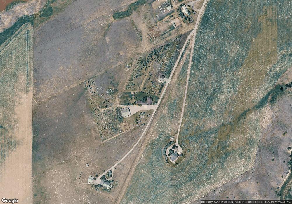
Map
Nearby Homes
- TBD Sunrise Ridge Trail
- NHN Cottontail Rd
- 2500 Cottontail Rd
- 12500 Axtell Gateway Rd
- 121 Gravel Hollow Dr
- 165 Gravel Hollow Dr
- 511 Table Mountain Dr
- 1021 Gateway South Rd
- 1981 Gateway South Rd
- 209 Bozeman St
- 67 Upper Rainbow Rd
- 69 Upper Rainbow Rd
- 95 W Julie Ct
- 26 Yoseph St Unit 80
- 124 Yoseph St Unit 85
- 56 Yoseph St Unit 83
- 12 Faith Ct Unit 204
- Lot 3 River Rd
- 168 Yoseph St Unit 87
- TBD Talisker Way
- 1854 High Flat Rd
- 1850 High Flat Rd
- 239A & 239B Sunrise Ridge Trail
- 239 Sunrise Ridge Trail
- 239 Sunrise Ridge Rd
- 239 Sunriseridge Ridge
- 201 Sunrise Ridge Trail
- 239 Sunrise Ridge T
- 2487 Axtell Anceny Rd
- 2270 Axtell Anceny Rd
- 14300 High Flat Rd
- 2715 Axtell Anceny Rd
- 14443 High Flat Rd
- 608 Valley High Dr
- 14661 High Flat Rd
- 483 Valley High Dr
- 45 Peak's View Dr
- 45 Peaksview Dr
- TBD Mcreynolds Rd
Your Personal Tour Guide
Ask me questions while you tour the home.