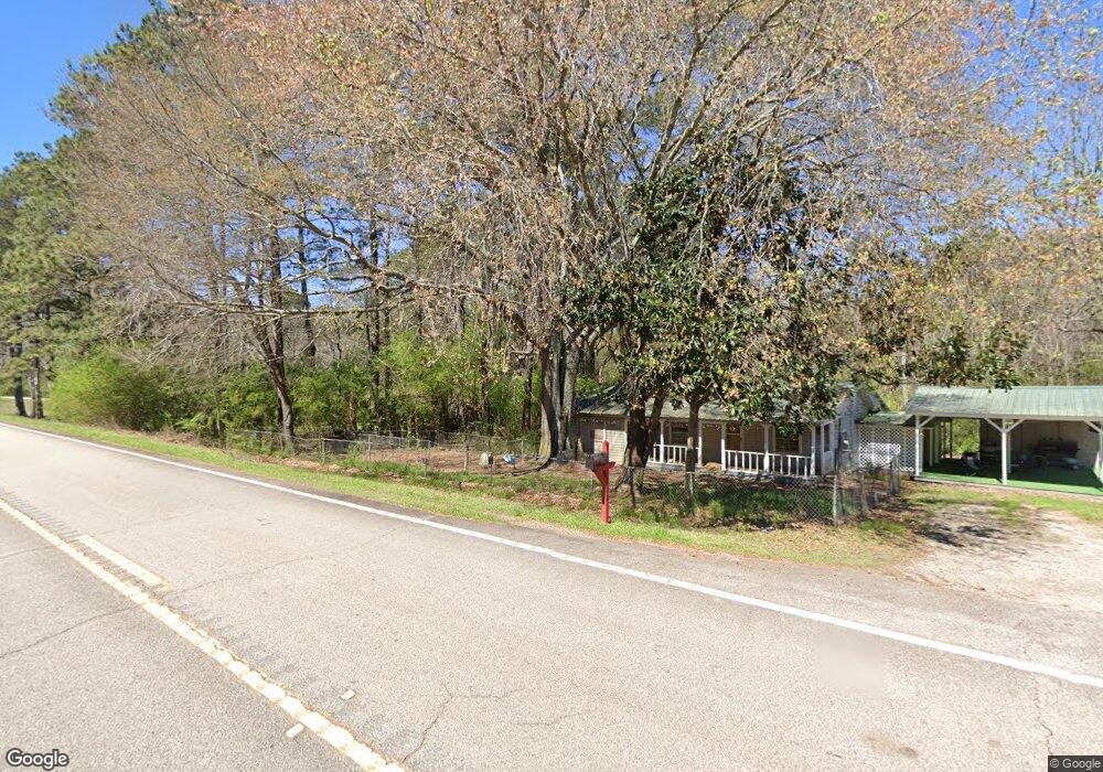
1852 Highway 54 W Hogansville, GA 30230
Estimated Value: $111,000 - $154,000
2
Beds
1
Bath
1,020
Sq Ft
$135/Sq Ft
Est. Value
About This Home
This home is located at 1852 Highway 54 W, Hogansville, GA 30230 and is currently estimated at $137,502, approximately $134 per square foot. 1852 Highway 54 W is a home located in Troup County with nearby schools including Hogansville Elementary School, Callaway Elementary School, and Callaway Middle School.
Ownership History
Date
Name
Owned For
Owner Type
Purchase Details
Closed on
Oct 7, 2016
Sold by
William Lynwood E
Bought by
Cofield Alan M
Current Estimated Value
Purchase Details
Closed on
Jul 3, 2003
Sold by
William Driver
Bought by
Tommy Herndon
Purchase Details
Closed on
Mar 11, 2002
Sold by
Joann P Massengale
Bought by
William Driver
Purchase Details
Closed on
Feb 25, 2002
Sold by
Joann P Massengale
Bought by
Joann P Massengale
Purchase Details
Closed on
Nov 7, 2001
Sold by
James C Massengale
Bought by
Joann P Massengale
Purchase Details
Closed on
Mar 17, 2000
Sold by
Roger D Driver
Bought by
James C Massengale
Purchase Details
Closed on
May 19, 1992
Bought by
Roger D Driver
Purchase Details
Closed on
May 8, 1992
Purchase Details
Closed on
Aug 22, 1991
Purchase Details
Closed on
Jun 1, 1988
Create a Home Valuation Report for This Property
The Home Valuation Report is an in-depth analysis detailing your home's value as well as a comparison with similar homes in the area
Home Values in the Area
Average Home Value in this Area
Purchase History
| Date | Buyer | Sale Price | Title Company |
|---|---|---|---|
| Cofield Alan M | $32,000 | -- | |
| Tommy Herndon | -- | -- | |
| William Driver | $27,500 | -- | |
| Joann P Massengale | -- | -- | |
| Joann P Massengale | -- | -- | |
| James C Massengale | $22,000 | -- | |
| Roger D Driver | -- | -- | |
| -- | -- | -- | |
| -- | -- | -- | |
| -- | -- | -- |
Source: Public Records
Tax History Compared to Growth
Tax History
| Year | Tax Paid | Tax Assessment Tax Assessment Total Assessment is a certain percentage of the fair market value that is determined by local assessors to be the total taxable value of land and additions on the property. | Land | Improvement |
|---|---|---|---|---|
| 2024 | $974 | $35,720 | $2,040 | $33,680 |
| 2023 | $859 | $106 | $0 | $106 |
| 2022 | $797 | $28,560 | $5,240 | $23,320 |
| 2021 | $631 | $20,920 | $3,480 | $17,440 |
| 2020 | $631 | $20,920 | $3,480 | $17,440 |
| 2019 | $661 | $21,920 | $3,480 | $18,440 |
| 2018 | $610 | $20,240 | $3,480 | $16,760 |
| 2017 | $386 | $20,240 | $3,480 | $16,760 |
Source: Public Records
Map
Nearby Homes
- 5028 Hammett Rd
- 5021 Hammett Rd Unit LOT 4
- 4878 Youngs Mill Rd
- 2271 Mobley Bridge Rd
- 717 N Boyd Rd
- 105 Ransby Dr
- 601 W Main St
- 221 Power Plant Rd
- 501 Sporting Dr
- 502 Sporting Dr
- 500 Sporting Dr
- 509 W Main St
- GARDNER Plan at Huntcliff - Villages
- ESSEX Plan at Huntcliff - Villages
- DUPONT Plan at Huntcliff - Villages
- ROANOKE Plan at Huntcliff - Villages
- 618 Rifle Ridge
- 225 Fox Chase Way
- 264 Fox Chase Way
- 262 Fox Chase Way
- 4968 Hammett Rd
- 1827 Highway 54 W
- 1853 Highway 54 W
- 1853 Highway 54 W
- 4938 Hammett Rd
- 1807 Highway 54 W
- 1807 Hwy 54 W
- 4928 Hammett Rd
- 4912 Hammett Rd
- 1925 Georgia 54
- 4888 Hammett Rd
- 1925 Highway 54 W Unit SR
- 4830 Hammett Rd
- 1735 Highway 54 W
- 4869 Hammett Rd
- 4868 Hammett Rd
- 4859 Hammett Rd
- 1959 Highway 54 W Unit SR
- 1959 Highway 54 W
- 1959 Georgia 54