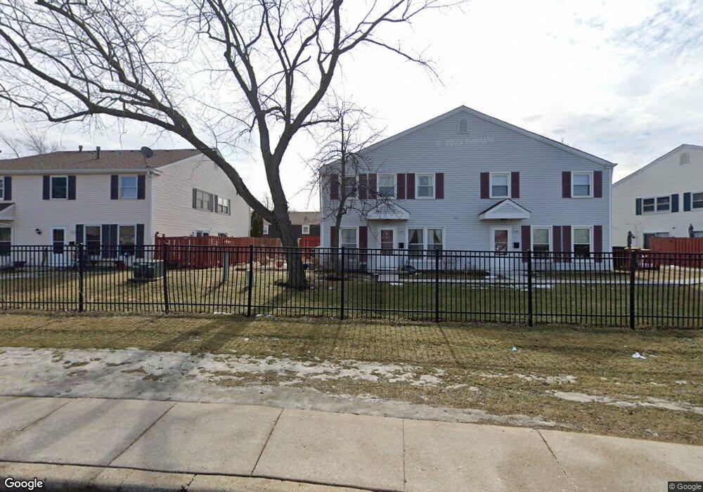
1852 Stockton Dr Unit 3292 Hoffman Estates, IL 60169
South Hoffman Estates NeighborhoodEstimated Value: $205,348 - $240,000
2
Beds
--
Bath
900
Sq Ft
$251/Sq Ft
Est. Value
About This Home
This home is located at 1852 Stockton Dr Unit 3292, Hoffman Estates, IL 60169 and is currently estimated at $225,587, approximately $250 per square foot. 1852 Stockton Dr Unit 3292 is a home located in Cook County with nearby schools including John Muir Literacy Academy, Dwight D Eisenhower Junior High School, and Hoffman Estates High School.
Ownership History
Date
Name
Owned For
Owner Type
Purchase Details
Closed on
Jul 21, 2004
Sold by
Delfini Vincent A
Bought by
Scallion Michael L
Current Estimated Value
Home Financials for this Owner
Home Financials are based on the most recent Mortgage that was taken out on this home.
Original Mortgage
$133,750
Outstanding Balance
$66,294
Interest Rate
6.1%
Mortgage Type
FHA
Estimated Equity
$159,293
Purchase Details
Closed on
Mar 28, 2002
Sold by
Barney Ricky and Barney Dawn
Bought by
Delfini Vincent A
Home Financials for this Owner
Home Financials are based on the most recent Mortgage that was taken out on this home.
Original Mortgage
$88,400
Interest Rate
5.5%
Create a Home Valuation Report for This Property
The Home Valuation Report is an in-depth analysis detailing your home's value as well as a comparison with similar homes in the area
Home Values in the Area
Average Home Value in this Area
Purchase History
| Date | Buyer | Sale Price | Title Company |
|---|---|---|---|
| Scallion Michael L | $138,000 | Multiple | |
| Delfini Vincent A | $110,500 | -- |
Source: Public Records
Mortgage History
| Date | Status | Borrower | Loan Amount |
|---|---|---|---|
| Open | Scallion Michael L | $133,750 | |
| Previous Owner | Delfini Vincent A | $88,400 |
Source: Public Records
Tax History Compared to Growth
Tax History
| Year | Tax Paid | Tax Assessment Tax Assessment Total Assessment is a certain percentage of the fair market value that is determined by local assessors to be the total taxable value of land and additions on the property. | Land | Improvement |
|---|---|---|---|---|
| 2024 | $2,757 | $12,301 | $3,038 | $9,263 |
| 2023 | $2,637 | $12,301 | $3,038 | $9,263 |
| 2022 | $2,637 | $12,301 | $3,038 | $9,263 |
| 2021 | $2,148 | $9,743 | $4,784 | $4,959 |
| 2020 | $2,173 | $9,743 | $4,784 | $4,959 |
| 2019 | $2,181 | $10,880 | $4,784 | $6,096 |
| 2018 | $947 | $6,339 | $4,177 | $2,162 |
| 2017 | $949 | $6,339 | $4,177 | $2,162 |
| 2016 | $1,145 | $6,339 | $4,177 | $2,162 |
| 2015 | $526 | $4,260 | $3,645 | $615 |
| 2014 | $534 | $4,260 | $3,645 | $615 |
| 2013 | $501 | $4,260 | $3,645 | $615 |
Source: Public Records
Map
Nearby Homes
- 1862 Stockton Dr Unit 3283
- 1886 Stockton Dr Unit 3253
- 1925 Georgetown Ln Unit 4
- 1956 Georgetown Ln Unit 4
- 1840 Huntington Blvd Unit 415
- 1840 Huntington Blvd Unit 412
- 1854 Huntington Blvd Unit C
- 1808 Fayette Walk Unit H
- 1800 Huntington Blvd Unit AE615
- 1738 Ardwick Dr
- 1704 Fayette Walk Unit B
- 1977 Kenilworth Cir Unit D
- 1940 Kenilworth Cir Unit D
- 1763 Bristol Walk Unit 1763
- 1685 Cornell Dr
- 2004 E Parkview Cir
- 2230 Stratham Place
- 1672 Cornell Dr
- 1996 Blackberry Ln Unit 14
- 1475 Rebecca Dr Unit 217
- 1850 Stockton Dr Unit 3291
- 1854 Stockton Dr Unit 3293
- 1846 Stockton Dr Unit 3301
- 1856 Stockton Dr Unit 3294
- 1856 Stockton Dr Unit 1856
- 1858 Stockton Dr Unit 3281
- 1844 Stockton Dr Unit 3304
- 1864 Stockton Dr Unit 3284
- 1860 Stockton Dr Unit 3282
- 1842 Stockton Dr Unit 3303
- 1848 Stockton Dr Unit 3302
- 1942 Hancock Dr Unit 5483
- 1866 Stockton Dr Unit 3271
- 1840 Stockton Dr Unit 3314
- 1944 Hancock Dr Unit 5484
- 1952 Hancock Dr Unit 5474
- 1872 Stockton Dr Unit 3274
- 1868 Stockton Dr Unit 3272
- 1838 Stockton Dr Unit 3313
- 1940 Hancock Dr Unit 5482