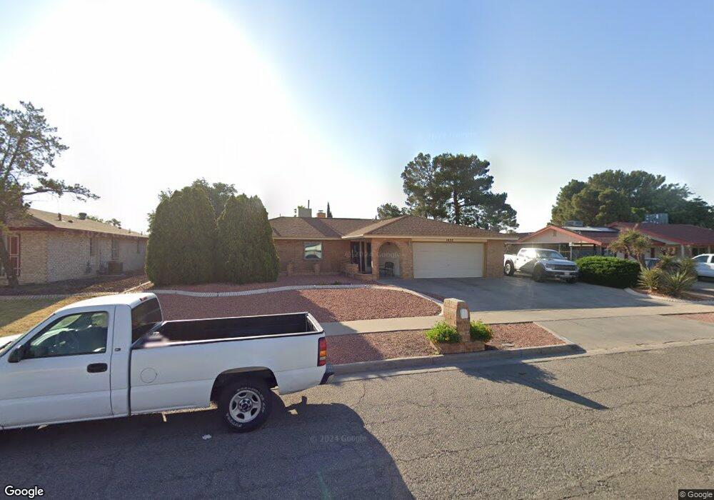
1852 Tom Bolt Dr El Paso, TX 79936
Vista Del Sol NeighborhoodEstimated Value: $253,432 - $286,000
3
Beds
2
Baths
1,699
Sq Ft
$156/Sq Ft
Est. Value
About This Home
This home is located at 1852 Tom Bolt Dr, El Paso, TX 79936 and is currently estimated at $264,608, approximately $155 per square foot. 1852 Tom Bolt Dr is a home located in El Paso County with nearby schools including Tierra Del Sol Elementary School, J M Hanks High School, and EL PASO LEADERSHIP ACADEMY - MIDDLE EAST.
Ownership History
Date
Name
Owned For
Owner Type
Purchase Details
Closed on
Aug 28, 2009
Sold by
Barnett Robert G and Barnett Virginia
Bought by
Serna Victor M
Current Estimated Value
Home Financials for this Owner
Home Financials are based on the most recent Mortgage that was taken out on this home.
Original Mortgage
$147,283
Outstanding Balance
$96,371
Interest Rate
5.2%
Mortgage Type
FHA
Estimated Equity
$168,237
Create a Home Valuation Report for This Property
The Home Valuation Report is an in-depth analysis detailing your home's value as well as a comparison with similar homes in the area
Home Values in the Area
Average Home Value in this Area
Purchase History
| Date | Buyer | Sale Price | Title Company |
|---|---|---|---|
| Serna Victor M | -- | None Available |
Source: Public Records
Mortgage History
| Date | Status | Borrower | Loan Amount |
|---|---|---|---|
| Open | Serna Victor M | $147,283 |
Source: Public Records
Tax History Compared to Growth
Tax History
| Year | Tax Paid | Tax Assessment Tax Assessment Total Assessment is a certain percentage of the fair market value that is determined by local assessors to be the total taxable value of land and additions on the property. | Land | Improvement |
|---|---|---|---|---|
| 2025 | $4,172 | $241,424 | $46,104 | $195,320 |
| 2024 | $4,172 | $220,651 | -- | -- |
| 2023 | $3,906 | $200,592 | $0 | $0 |
| 2022 | $5,663 | $182,356 | $0 | $0 |
| 2021 | $5,389 | $165,778 | $31,559 | $134,219 |
| 2020 | $5,025 | $159,083 | $28,646 | $130,437 |
| 2018 | $4,843 | $155,752 | $28,646 | $127,106 |
| 2017 | $4,475 | $146,412 | $28,646 | $117,766 |
| 2016 | $4,075 | $133,327 | $28,646 | $104,681 |
| 2015 | $3,212 | $133,327 | $28,646 | $104,681 |
| 2014 | $3,212 | $134,143 | $28,646 | $105,497 |
Source: Public Records
Map
Nearby Homes
- 1868 Tom Bolt Dr
- 1817 Hugh Royer Place
- 1913 Seagull Dr
- 1901 Bobby Jones Dr
- 2001 Bobby Jones Dr Unit A
- 2009 Bobby Jones Dr Unit B
- 11016 Bob Stone Dr
- 11012 Bob Stone Dr
- 11013 Bob Stone Dr
- 1804 Jerry Abbott St
- 1739 Jerry Abbott St
- 2604 Anise Dr
- 11204 Bob Mitchell Dr
- 1844 Jack Nicklaus Dr Unit 1846
- 1703 Robert Wynn St
- 2101 E Glen Dr
- 2308 Tom Watson Ct
- 11008 Johnny Miller Dr
- 1700 Jerry Abbott St
- 1617 Tommy Aaron Dr
- 1848 Tom Bolt Dr
- 1856 Tom Bolt Dr
- 1857 Tommy Aaron Dr
- 1853 Tommy Aaron Dr
- 1861 Tommy Aaron Dr
- 1844 Tom Bolt Dr
- 1860 Tom Bolt Dr
- 1849 Tommy Aaron Dr
- 1851 Tom Bolt Dr
- 1855 Tom Bolt Dr
- 1847 Tom Bolt Dr
- 1859 Tom Bolt Dr
- 1865 Tommy Aaron Dr
- 1840 Tom Bolt Dr
- 1864 Tom Bolt Dr
- 1843 Tom Bolt Dr
- 1845 Tommy Aaron Dr
- 1863 Tom Bolt Dr
- 1852 Mike Hill Dr
- 1848 Mike Hill Dr