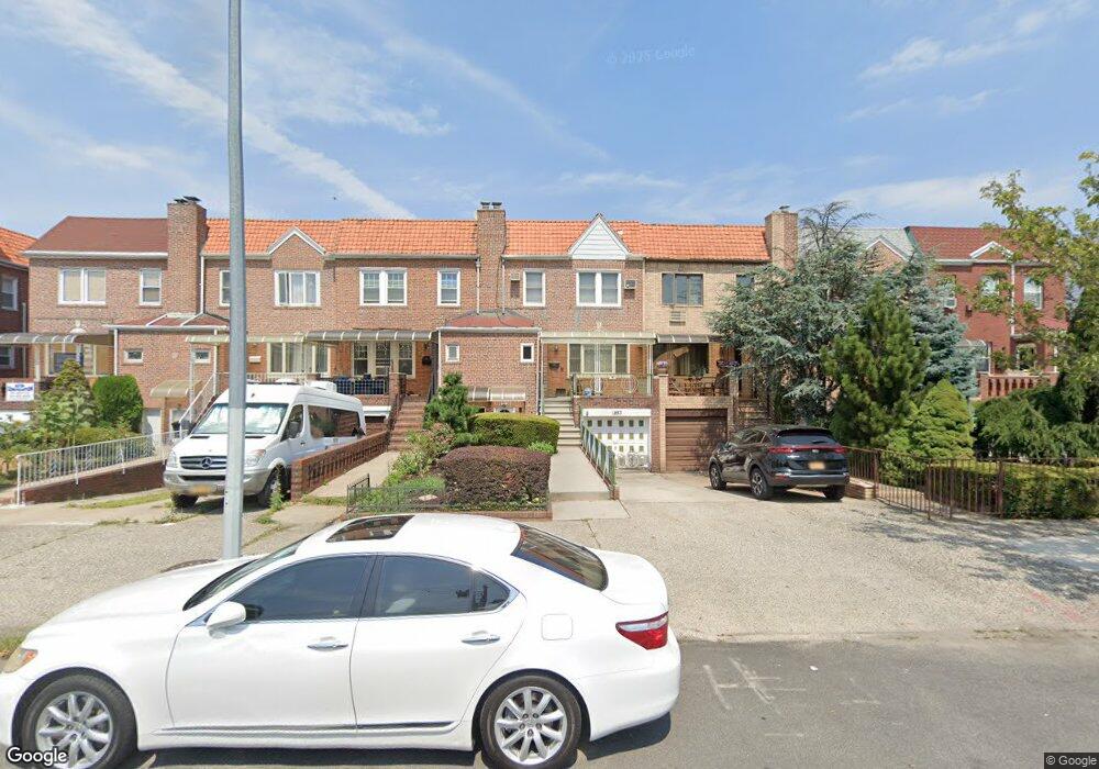
1853 Gerritsen Ave Brooklyn, NY 11229
Marine Park NeighborhoodEstimated Value: $852,975 - $1,225,000
--
Bed
--
Bath
1,800
Sq Ft
$551/Sq Ft
Est. Value
About This Home
This home is located at 1853 Gerritsen Ave, Brooklyn, NY 11229 and is currently estimated at $991,244, approximately $550 per square foot. 1853 Gerritsen Ave is a home located in Kings County with nearby schools including PS 222 Katherine R Snyder, J.H.S. 278 Marine Park, and James Madison High School.
Ownership History
Date
Name
Owned For
Owner Type
Purchase Details
Closed on
May 8, 2024
Sold by
Soave Patricia
Bought by
Desantis Christina Marie and Lockwood Gerard Edward
Current Estimated Value
Home Financials for this Owner
Home Financials are based on the most recent Mortgage that was taken out on this home.
Original Mortgage
$520,000
Outstanding Balance
$512,583
Interest Rate
6.79%
Mortgage Type
Purchase Money Mortgage
Estimated Equity
$478,661
Purchase Details
Closed on
Apr 5, 2003
Sold by
Soave Surviving Spouse Lena and Soave Dominick
Bought by
Soave Patricia
Create a Home Valuation Report for This Property
The Home Valuation Report is an in-depth analysis detailing your home's value as well as a comparison with similar homes in the area
Home Values in the Area
Average Home Value in this Area
Purchase History
| Date | Buyer | Sale Price | Title Company |
|---|---|---|---|
| Desantis Christina Marie | $650,000 | -- | |
| Desantis Christina Marie | $650,000 | -- | |
| Soave Patricia | -- | -- | |
| Soave Patricia | -- | -- |
Source: Public Records
Mortgage History
| Date | Status | Borrower | Loan Amount |
|---|---|---|---|
| Open | Desantis Christina Marie | $520,000 | |
| Closed | Desantis Christina Marie | $520,000 |
Source: Public Records
Tax History Compared to Growth
Tax History
| Year | Tax Paid | Tax Assessment Tax Assessment Total Assessment is a certain percentage of the fair market value that is determined by local assessors to be the total taxable value of land and additions on the property. | Land | Improvement |
|---|---|---|---|---|
| 2025 | $7,836 | $49,380 | $10,800 | $38,580 |
| 2024 | $7,836 | $48,360 | $10,800 | $37,560 |
| 2023 | $7,836 | $51,060 | $10,800 | $40,260 |
| 2022 | $7,797 | $46,800 | $10,800 | $36,000 |
| 2021 | $7,623 | $46,500 | $10,800 | $35,700 |
| 2020 | $3,575 | $38,880 | $10,800 | $28,080 |
| 2019 | $6,801 | $43,020 | $10,800 | $32,220 |
| 2018 | $5,351 | $32,512 | $8,867 | $23,645 |
| 2017 | $5,634 | $31,993 | $9,472 | $22,521 |
| 2016 | $5,044 | $30,183 | $9,896 | $20,287 |
| 2015 | $3,090 | $28,477 | $10,450 | $18,027 |
| 2014 | $3,090 | $27,094 | $10,243 | $16,851 |
Source: Public Records
Map
Nearby Homes
- 2622 Fillmore Ave
- 1908 Gerritsen Ave
- 1837 Burnett St
- 1848 Haring St
- 3165 Nostrand Ave Unit 1N
- 3165 Nostrand Ave Unit 2L
- 3165 Nostrand Ave Unit 4P
- 3165 Nostrand Ave Unit 4V
- 3165 Nostrand Ave Unit 1H
- 3165 Nostrand Ave Unit 1G
- 3165 Nostrand Ave Unit 1S
- 3165 Nostrand Ave Unit 1P
- 1746 Gerritsen Ave
- 1882 Batchelder St
- 3203 Nostrand Ave Unit 4H
- 3203 Nostrand Ave Unit LB
- 3178 Nostrand Ave Unit 1C
- 3178 Nostrand Ave Unit 1M
- 1817 Madison Place
- 1747 Stuart St
- 1851 Gerritsen Ave
- 1855 Gerritsen Ave
- 1847 Gerritsen Ave
- 1857 Gerritsen Ave
- 1861 Gerritsen Ave
- 1845 Gerritsen Ave
- 1843 Gerritsen Ave
- 1865 Gerritsen Ave
- 1856 Stuart St
- 1854 Stuart St
- 1858 Stuart St
- 1850 Stuart St
- 1839 Gerritsen Ave
- 1860 Stuart St
- 1848 Stuart St
- 1862 Stuart St
- 1846 Stuart St
- 1871 Gerritsen Ave
- 1837 Gerritsen Ave
- 1864 Stuart St