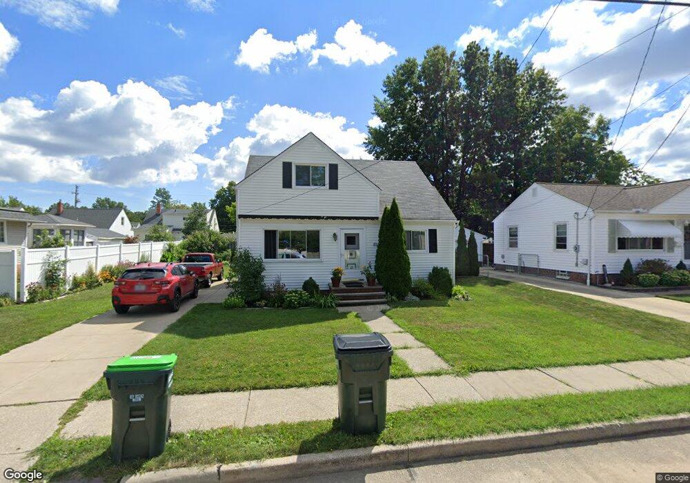
1853 Harding Dr Wickliffe, OH 44092
Estimated Value: $145,394 - $165,000
4
Beds
1
Bath
808
Sq Ft
$195/Sq Ft
Est. Value
About This Home
This home is located at 1853 Harding Dr, Wickliffe, OH 44092 and is currently estimated at $157,349, approximately $194 per square foot. 1853 Harding Dr is a home located in Lake County with nearby schools including Wickliffe Elementary School, Wickliffe Middle School, and Wickliffe High School.
Ownership History
Date
Name
Owned For
Owner Type
Purchase Details
Closed on
Aug 10, 2004
Sold by
Fannie Mae
Bought by
Luzar Ernest
Current Estimated Value
Home Financials for this Owner
Home Financials are based on the most recent Mortgage that was taken out on this home.
Original Mortgage
$86,400
Outstanding Balance
$42,155
Interest Rate
6.08%
Mortgage Type
Purchase Money Mortgage
Estimated Equity
$115,194
Purchase Details
Closed on
Mar 19, 2004
Sold by
Heckman Allen and Chase Manhattan Mortgage Corp
Bought by
Federal National Mortgage Association
Purchase Details
Closed on
Mar 15, 2001
Sold by
Shumney Elizabeth L and Shumney Elizabeth L
Bought by
Heckman Allen J and Heckman Laurie M
Home Financials for this Owner
Home Financials are based on the most recent Mortgage that was taken out on this home.
Original Mortgage
$105,400
Interest Rate
7.13%
Create a Home Valuation Report for This Property
The Home Valuation Report is an in-depth analysis detailing your home's value as well as a comparison with similar homes in the area
Home Values in the Area
Average Home Value in this Area
Purchase History
| Date | Buyer | Sale Price | Title Company |
|---|---|---|---|
| Luzar Ernest | $108,000 | Phoenix Title | |
| Federal National Mortgage Association | $95,000 | -- | |
| Heckman Allen J | $111,000 | Real Estate Title |
Source: Public Records
Mortgage History
| Date | Status | Borrower | Loan Amount |
|---|---|---|---|
| Open | Luzar Ernest | $86,400 | |
| Previous Owner | Heckman Allen J | $105,400 |
Source: Public Records
Tax History
| Year | Tax Paid | Tax Assessment Tax Assessment Total Assessment is a certain percentage of the fair market value that is determined by local assessors to be the total taxable value of land and additions on the property. | Land | Improvement |
|---|---|---|---|---|
| 2025 | -- | $42,060 | $14,400 | $27,660 |
| 2024 | -- | $42,060 | $14,400 | $27,660 |
| 2023 | $4,058 | $33,000 | $12,460 | $20,540 |
| 2022 | $2,368 | $33,000 | $12,460 | $20,540 |
| 2021 | $2,377 | $33,000 | $12,460 | $20,540 |
| 2020 | $2,238 | $26,400 | $9,970 | $16,430 |
| 2019 | $2,237 | $26,400 | $9,970 | $16,430 |
| 2018 | $1,934 | $28,000 | $12,850 | $15,150 |
| 2017 | $1,970 | $28,000 | $12,850 | $15,150 |
| 2016 | $1,961 | $28,000 | $12,850 | $15,150 |
| 2015 | $1,926 | $28,000 | $12,850 | $15,150 |
| 2014 | $1,697 | $28,000 | $12,850 | $15,150 |
| 2013 | $1,696 | $28,000 | $12,850 | $15,150 |
Source: Public Records
Map
Nearby Homes
- 1648 Douglas Rd
- 1677 Mapledale Rd
- 1522 Mapledale Rd
- 30530 Grant St
- 34345 Giovanni Ave
- 5481 Millwood Ln Unit C
- 5095 Shepherds Glen
- 30335 Euclid Ave Unit 40 and 20
- 5084 Shepherds Glen
- 5093 Shepherds Glen
- 5091 Shepherds Glen
- 5082 Shepherds Glen
- 5089 Shepherds Glen
- 261 Chelsea Dr
- 5085 Shepherds Glen
- 5076 Shepherds Glen
- 5083 Shepherds Glen
- 5081 Shepherds Glen
- 5079 Shepherds Glen
- 5062 Shepherds Glen
- 1847 Harding Dr
- 1867 Harding Dr
- 1648 Mapledale Rd
- 1652 Mapledale Rd
- 1644 Mapledale Rd
- 1654 Mapledale Rd
- 1871 Harding Dr
- 1839 Harding Dr
- 1640 Mapledale Rd
- 1658 Mapledale Rd
- 1854 Harding Dr
- 1848 Harding Dr
- 1636 Mapledale Rd
- 1662 Mapledale Rd
- 1842 Harding Dr
- 1831 Harding Dr
- 1879 Harding Dr
- 1634 Mapledale Rd
- 1870 Harding Dr
- 1666 Mapledale Rd
Your Personal Tour Guide
Ask me questions while you tour the home.