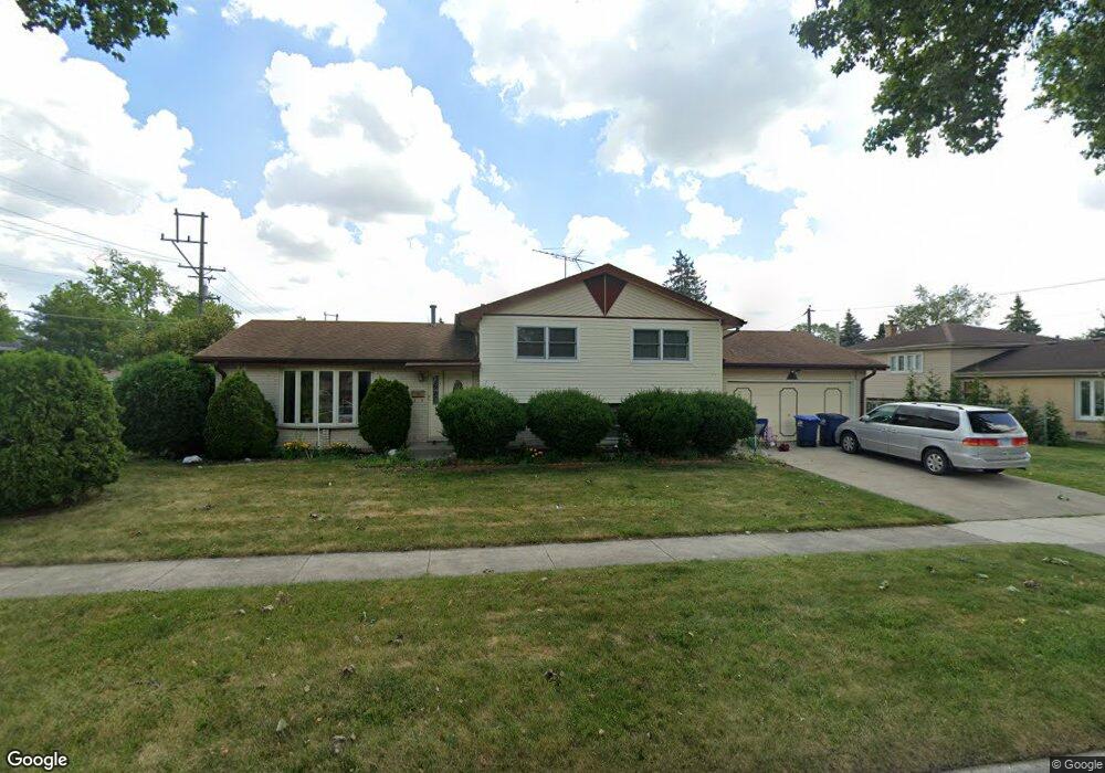
1853 Howard Ave Des Plaines, IL 60018
Estimated Value: $418,000 - $559,000
3
Beds
3
Baths
1,923
Sq Ft
$244/Sq Ft
Est. Value
About This Home
This home is located at 1853 Howard Ave, Des Plaines, IL 60018 and is currently estimated at $469,505, approximately $244 per square foot. 1853 Howard Ave is a home located in Cook County with nearby schools including South Elementary School, Algonquin Middle School, and Maine West High School.
Ownership History
Date
Name
Owned For
Owner Type
Purchase Details
Closed on
Aug 23, 2017
Sold by
Adkins Larry and Adkins Cynthia A
Bought by
Shareef Mohammed N and Kaukaba Sultana K
Current Estimated Value
Home Financials for this Owner
Home Financials are based on the most recent Mortgage that was taken out on this home.
Original Mortgage
$280,250
Outstanding Balance
$232,614
Interest Rate
4.03%
Mortgage Type
New Conventional
Estimated Equity
$236,891
Create a Home Valuation Report for This Property
The Home Valuation Report is an in-depth analysis detailing your home's value as well as a comparison with similar homes in the area
Home Values in the Area
Average Home Value in this Area
Purchase History
| Date | Buyer | Sale Price | Title Company |
|---|---|---|---|
| Shareef Mohammed N | $295,000 | North American Title |
Source: Public Records
Mortgage History
| Date | Status | Borrower | Loan Amount |
|---|---|---|---|
| Open | Shareef Mohammed N | $280,250 |
Source: Public Records
Tax History
| Year | Tax Paid | Tax Assessment Tax Assessment Total Assessment is a certain percentage of the fair market value that is determined by local assessors to be the total taxable value of land and additions on the property. | Land | Improvement |
|---|---|---|---|---|
| 2025 | $7,563 | $39,000 | $6,736 | $32,264 |
| 2024 | $7,563 | $32,000 | $5,613 | $26,387 |
| 2023 | $7,354 | $32,000 | $5,613 | $26,387 |
| 2022 | $7,354 | $32,000 | $5,613 | $26,387 |
| 2021 | $7,752 | $28,548 | $4,677 | $23,871 |
| 2020 | $8,281 | $30,506 | $4,677 | $25,829 |
| 2019 | $8,302 | $34,277 | $4,677 | $29,600 |
| 2018 | $8,194 | $27,400 | $4,116 | $23,284 |
| 2017 | $7,058 | $27,400 | $4,116 | $23,284 |
| 2016 | $6,920 | $27,400 | $4,116 | $23,284 |
| 2015 | $6,039 | $22,600 | $3,554 | $19,046 |
| 2014 | $6,825 | $25,630 | $3,554 | $22,076 |
| 2013 | $6,637 | $25,630 | $3,554 | $22,076 |
Source: Public Records
Map
Nearby Homes
- 1922 Fargo Ave
- 1721 Prospect Ave
- 1640 S River Rd
- 1445 Everett Ave
- 1641 E Touhy Ave
- 1629 E Touhy Ave
- 1645 Illinois St
- 1689 S Elm St
- 38 E Touhy Ave
- 1696 S Elm St
- 2220 S Chestnut St
- 1370 Fargo Ave Unit E
- 2469 Parkwood Ln
- 2600 S Scott St
- 2609 Eisenhower Dr
- 1990 Berry Ln
- 2646 Maple St
- 1700 E Forest Ave
- 700 Florence Dr
- 1738 Lunt Ave
- 1875 Howard Ave
- 2023 Locust St
- 1895 Howard Ave
- 1845 Howard Ave
- 2033 Locust St
- 2024 Locust St
- 2024 Birch St
- 2014 Birch St
- 2004 Birch St
- 2043 Locust St
- 1850 Howard Ave
- 1860 Howard Ave
- 2034 Birch St
- 2034 Locust St
- 1825 Howard Ave
- 1840 Howard Ave
- 1870 Howard Ave
- 1990 Birch St
- 1830 Howard Ave
- 2053 Locust St
Your Personal Tour Guide
Ask me questions while you tour the home.