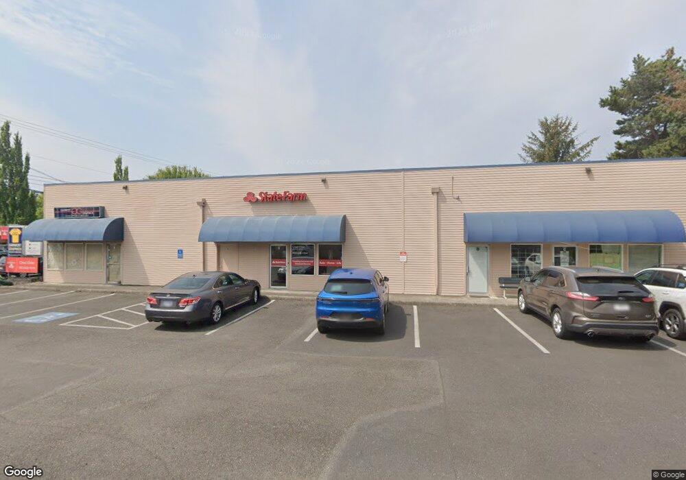
1853 NE Cornell Rd Hillsboro, OR 97124
Northwest Hillsboro NeighborhoodEstimated Value: $1,133,460
--
Bed
1
Bath
4,905
Sq Ft
$231/Sq Ft
Est. Value
About This Home
This home is located at 1853 NE Cornell Rd, Hillsboro, OR 97124 and is currently estimated at $1,133,460, approximately $231 per square foot. 1853 NE Cornell Rd is a home located in Washington County with nearby schools including Mooberry Elementary School, J.W. Poynter Middle School, and Liberty High School.
Ownership History
Date
Name
Owned For
Owner Type
Purchase Details
Closed on
Aug 14, 1995
Sold by
Borgaard Norman A and Borgaard Joyce Marie
Bought by
Garment Graphics Inc
Current Estimated Value
Home Financials for this Owner
Home Financials are based on the most recent Mortgage that was taken out on this home.
Original Mortgage
$304,500
Interest Rate
7.71%
Mortgage Type
Commercial
Purchase Details
Closed on
Aug 11, 1995
Sold by
Rush Richard L and Rush Lori B
Bought by
Garment Graphics Inc
Home Financials for this Owner
Home Financials are based on the most recent Mortgage that was taken out on this home.
Original Mortgage
$304,500
Interest Rate
7.71%
Mortgage Type
Commercial
Create a Home Valuation Report for This Property
The Home Valuation Report is an in-depth analysis detailing your home's value as well as a comparison with similar homes in the area
Home Values in the Area
Average Home Value in this Area
Purchase History
| Date | Buyer | Sale Price | Title Company |
|---|---|---|---|
| Garment Graphics Inc | $124,800 | Ticor Title Insurance | |
| Garment Graphics Inc | -- | Ticor Title |
Source: Public Records
Mortgage History
| Date | Status | Borrower | Loan Amount |
|---|---|---|---|
| Closed | Garment Graphics Inc | $304,500 |
Source: Public Records
Tax History Compared to Growth
Tax History
| Year | Tax Paid | Tax Assessment Tax Assessment Total Assessment is a certain percentage of the fair market value that is determined by local assessors to be the total taxable value of land and additions on the property. | Land | Improvement |
|---|---|---|---|---|
| 2025 | $9,498 | $581,090 | -- | -- |
| 2024 | $9,228 | $564,170 | -- | -- |
| 2023 | $9,228 | $547,740 | $0 | $0 |
| 2022 | $8,978 | $547,740 | $0 | $0 |
| 2021 | $8,797 | $516,310 | $0 | $0 |
| 2020 | $8,608 | $501,280 | $0 | $0 |
| 2019 | $8,360 | $486,680 | $0 | $0 |
| 2018 | $7,865 | $472,510 | $0 | $0 |
| 2017 | $7,723 | $459,390 | $0 | $0 |
| 2016 | $7,511 | $446,010 | $0 | $0 |
| 2015 | $7,109 | $433,020 | $0 | $0 |
| 2014 | $7,134 | $420,410 | $0 | $0 |
Source: Public Records
Map
Nearby Homes
- 1822 NE Barberry Dr
- 1740 NE Darby St
- 2080 NE Darby St
- 461 NE 16th Ave
- 1455 NE Jessica Loop
- 1442 NE 14th Ave
- 1269 NE Grant St
- 2570 NE Grant St
- 1303 NE Cornell Rd
- 1450 NE Sunrise Ln
- 2411 NE Hyde St
- 1184 NE Turner Dr
- 319 NE Hyde Cir
- 1043 NE Sturgess Ave
- 2136 NE 13th Ave
- 1112 E Main St
- 1239 NE Setting Sun Dr
- 3029 NE Azalea St
- 960 E Main St
- 240 SE 26th Ave
- 1803 NE Cornell Rd
- 1733 NE Cornell Rd
- 1847 NE Hillaire Ct Unit 1&2
- 1847 NE Hillaire Ct
- 1805 NE Hillaire Ct
- 1940 NE Cornell Rd
- 1945 NE Hillaire Dr
- 1836 NE Barberry Dr
- 1991 NE Cornell Rd Unit 170
- 1991 NE Cornell Rd Unit 160
- 1991 NE Cornell Rd
- 1860 NE Barberry Dr
- 1864 NE Hillaire Ct
- 1820 NE Barberry Dr
- 1940 NE Barberry Dr
- 1046 NE 17th Ave
- 1989 NE Hillaire Dr
- 1956 NE Hillaire Dr
- 1930 NE Barberry Dr
- 1842 NE Hillaire Ct Bom