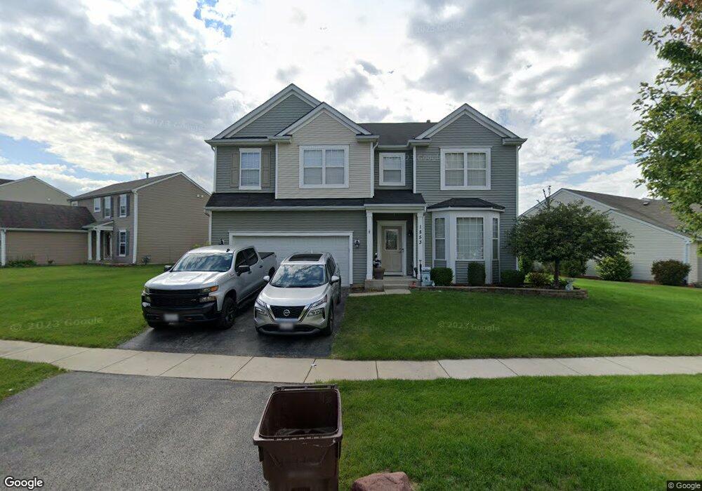
1853 Sebastian Dr Woodstock, IL 60098
Estimated Value: $389,000 - $448,000
4
Beds
3
Baths
3,253
Sq Ft
$128/Sq Ft
Est. Value
About This Home
This home is located at 1853 Sebastian Dr, Woodstock, IL 60098 and is currently estimated at $415,947, approximately $127 per square foot. 1853 Sebastian Dr is a home located in McHenry County with nearby schools including Mary Endres Elementary School, Northwood Middle School, and Woodstock North High School.
Ownership History
Date
Name
Owned For
Owner Type
Purchase Details
Closed on
Jan 1, 2007
Sold by
Centex Homes
Bought by
Luna Paul A and Luna Jennifer M Gaughran
Current Estimated Value
Home Financials for this Owner
Home Financials are based on the most recent Mortgage that was taken out on this home.
Original Mortgage
$248,694
Outstanding Balance
$148,205
Interest Rate
6.16%
Mortgage Type
FHA
Estimated Equity
$267,742
Create a Home Valuation Report for This Property
The Home Valuation Report is an in-depth analysis detailing your home's value as well as a comparison with similar homes in the area
Home Values in the Area
Average Home Value in this Area
Purchase History
| Date | Buyer | Sale Price | Title Company |
|---|---|---|---|
| Luna Paul A | $252,597 | None Available |
Source: Public Records
Mortgage History
| Date | Status | Borrower | Loan Amount |
|---|---|---|---|
| Open | Luna Paul A | $248,694 |
Source: Public Records
Tax History Compared to Growth
Tax History
| Year | Tax Paid | Tax Assessment Tax Assessment Total Assessment is a certain percentage of the fair market value that is determined by local assessors to be the total taxable value of land and additions on the property. | Land | Improvement |
|---|---|---|---|---|
| 2024 | $11,120 | $127,522 | $23,776 | $103,746 |
| 2023 | $10,737 | $116,618 | $21,743 | $94,875 |
| 2022 | $12,146 | $122,387 | $19,537 | $102,850 |
| 2021 | $11,534 | $113,869 | $18,177 | $95,692 |
| 2020 | $11,103 | $107,963 | $17,234 | $90,729 |
| 2019 | $10,668 | $101,650 | $16,226 | $85,424 |
| 2018 | $10,433 | $97,989 | $15,221 | $82,768 |
| 2017 | $10,240 | $91,965 | $14,285 | $77,680 |
| 2016 | $10,317 | $86,336 | $13,411 | $72,925 |
| 2013 | -- | $64,479 | $13,287 | $51,192 |
Source: Public Records
Map
Nearby Homes
- 1819 Woodside Dr
- 1808 Powers Rd
- 908 Hickory Rd
- 905 Hickory Rd
- 1401 Rhett Place
- 603 Handel Ln
- 1530 Hickory Rd Unit A
- 2801 Haydn St
- 214 Raffel Rd
- 109 Raffel Rd
- 105 Terry Ct
- 244 Joseph St
- 1626 Wheeler St
- 871 Hickman Ln
- 1546 Wheeler St
- Block 153 Joseph St
- 709 Mchenry Ave
- 1891 Wicker St Unit 3
- 631 Mchenry Ave
- 208 W Greenwood Ave
- 1863 Sebastian Dr
- 1845 Sebastian Dr
- 1846 Roger Rd
- 1860 Sebastian Dr
- 1868 Sebastian Dr
- 1873 Sebastian Dr
- 1852 Sebastian Dr
- 1837 Sebastian Dr
- 1866 Roger Rd
- 1844 Sebastian Dr
- 1838 Roger Rd
- 1878 Sebastian Dr
- 1882 Sebastian Dr
- 1836 Sebastian Dr
- 1829 Sebastian Dr
- 1883 Sebastian Dr
- 1886 Sebastian Dr
- 1886 Sebastian Dr Unit 51
- 1890 Sebastian Dr
- 1886 Roger Rd