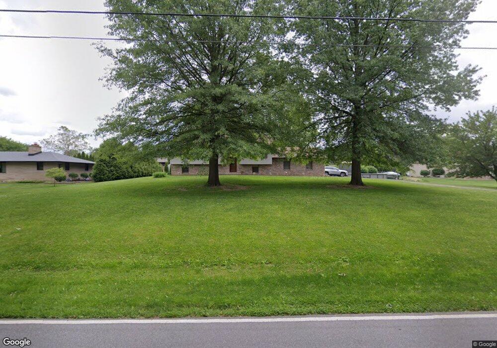
1853 Smoke Rd Valparaiso, IN 46385
Estimated Value: $380,000 - $421,000
4
Beds
2
Baths
2,552
Sq Ft
$154/Sq Ft
Est. Value
About This Home
This home is located at 1853 Smoke Rd, Valparaiso, IN 46385 and is currently estimated at $393,430, approximately $154 per square foot. 1853 Smoke Rd is a home located in Porter County with nearby schools including Parkview Elementary School, Thomas Jefferson Middle School, and Valparaiso High School.
Ownership History
Date
Name
Owned For
Owner Type
Purchase Details
Closed on
May 31, 2005
Sold by
Prudential Relocation Inc
Bought by
Cronch Matthew A
Current Estimated Value
Home Financials for this Owner
Home Financials are based on the most recent Mortgage that was taken out on this home.
Original Mortgage
$166,250
Interest Rate
5.68%
Mortgage Type
Fannie Mae Freddie Mac
Purchase Details
Closed on
May 28, 2005
Sold by
Bach Garry J and Bach Colleen S
Bought by
Prudential Relocation Inc
Home Financials for this Owner
Home Financials are based on the most recent Mortgage that was taken out on this home.
Original Mortgage
$166,250
Interest Rate
5.68%
Mortgage Type
Fannie Mae Freddie Mac
Create a Home Valuation Report for This Property
The Home Valuation Report is an in-depth analysis detailing your home's value as well as a comparison with similar homes in the area
Home Values in the Area
Average Home Value in this Area
Purchase History
| Date | Buyer | Sale Price | Title Company |
|---|---|---|---|
| Cronch Matthew A | -- | Ticor Title Insurance | |
| Prudential Relocation Inc | -- | Ticor Title Insurance |
Source: Public Records
Mortgage History
| Date | Status | Borrower | Loan Amount |
|---|---|---|---|
| Previous Owner | Cronch Matthew A | $166,250 |
Source: Public Records
Tax History Compared to Growth
Tax History
| Year | Tax Paid | Tax Assessment Tax Assessment Total Assessment is a certain percentage of the fair market value that is determined by local assessors to be the total taxable value of land and additions on the property. | Land | Improvement |
|---|---|---|---|---|
| 2024 | $2,651 | $328,800 | $40,000 | $288,800 |
| 2023 | $2,622 | $313,300 | $37,400 | $275,900 |
| 2022 | $2,482 | $287,600 | $37,400 | $250,200 |
| 2021 | $2,446 | $248,500 | $37,400 | $211,100 |
| 2020 | $2,358 | $235,100 | $32,500 | $202,600 |
| 2019 | $2,131 | $210,900 | $32,500 | $178,400 |
| 2018 | $2,048 | $203,200 | $32,500 | $170,700 |
| 2017 | $2,009 | $203,700 | $32,500 | $171,200 |
| 2016 | $1,719 | $188,400 | $34,700 | $153,700 |
| 2014 | $1,397 | $187,000 | $34,500 | $152,500 |
| 2013 | -- | $165,800 | $34,500 | $131,300 |
Source: Public Records
Map
Nearby Homes
- 1556 Smoke Rd
- 1465 Clark Rd
- 1954 Lawndale Dr
- 2054 Lawndale Dr
- 1153 Horse Prairie Ave
- 1284 Rowley St
- 28 South St
- 557 West St
- 2 South St
- 2655 Vivante Dr
- 1460 Swansea Ln
- 1659 Tippecanoe Ct
- 1356 Sugar Creek Ct
- 460 Locust St
- 1153 Wells St
- 1952 Galena Ct
- 456 Locust St
- 3152 Heavilin Rd
- 501 Eagle Ct
- 1086 Millpond Rd Unit C
- 1759 Smoke Rd
- 1854 Greenview St
- 1854 Greenview St
- 1854 Smoke Rd
- 1950 Greenview St
- 353 Hawthorne Dr
- 351 Hawthorne Dr
- 2 Hawthorne Dr
- 1855 Greenview Ave
- 1758 Smoke Rd
- 8 Hawthorne Dr
- 1951 Greenview St
- 30 Hawthorne Dr
- 1754 Smoke Rd
- 354 Hawthorne Dr
- 1 Sunset Dr
- 1752 Greenview St
- 1953 Greenview Ave
- 1953 Greenview St
- 1958 Smoke Rd