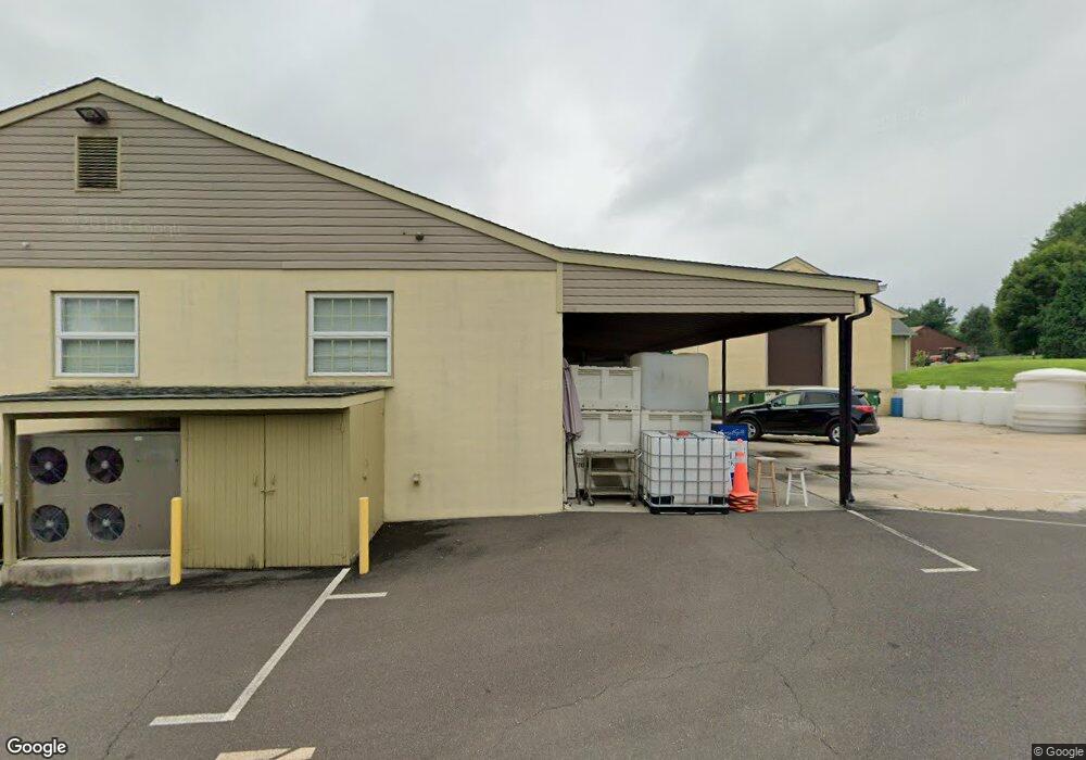
1853 Wrightstown Rd Newtown, PA 18940
Estimated Value: $511,340 - $1,059,000
3
Beds
1
Bath
2,035
Sq Ft
$383/Sq Ft
Est. Value
About This Home
This home is located at 1853 Wrightstown Rd, Newtown, PA 18940 and is currently estimated at $779,585, approximately $383 per square foot. 1853 Wrightstown Rd is a home located in Bucks County with nearby schools including Sol Feinstone Elementary School, Newtown Middle School, and Council Rock High School North.
Ownership History
Date
Name
Owned For
Owner Type
Purchase Details
Closed on
Sep 11, 1998
Sold by
Mclean Zayde K and Marshall Esq Don F
Bought by
Carroll Thomas F and Carroll Christine M
Current Estimated Value
Home Financials for this Owner
Home Financials are based on the most recent Mortgage that was taken out on this home.
Original Mortgage
$227,150
Outstanding Balance
$48,522
Interest Rate
6.9%
Estimated Equity
$731,063
Purchase Details
Closed on
Oct 29, 1993
Bought by
Mclean Zayde K
Create a Home Valuation Report for This Property
The Home Valuation Report is an in-depth analysis detailing your home's value as well as a comparison with similar homes in the area
Home Values in the Area
Average Home Value in this Area
Purchase History
| Date | Buyer | Sale Price | Title Company |
|---|---|---|---|
| Carroll Thomas F | $325,000 | -- | |
| Mclean Zayde K | -- | -- |
Source: Public Records
Mortgage History
| Date | Status | Borrower | Loan Amount |
|---|---|---|---|
| Open | Carroll Thomas F | $227,150 |
Source: Public Records
Tax History Compared to Growth
Tax History
| Year | Tax Paid | Tax Assessment Tax Assessment Total Assessment is a certain percentage of the fair market value that is determined by local assessors to be the total taxable value of land and additions on the property. | Land | Improvement |
|---|---|---|---|---|
| 2025 | $3,709 | $21,680 | $80 | $21,600 |
| 2024 | $3,709 | $21,680 | $80 | $21,600 |
| 2023 | $3,607 | $21,680 | $80 | $21,600 |
| 2022 | $3,588 | $21,680 | $80 | $21,600 |
| 2021 | $3,540 | $32,360 | $10,760 | $21,600 |
| 2020 | $3,455 | $32,360 | $10,760 | $21,600 |
| 2019 | $3,375 | $32,360 | $10,760 | $21,600 |
| 2018 | $3,312 | $32,360 | $10,760 | $21,600 |
| 2017 | $3,221 | $32,360 | $10,760 | $21,600 |
| 2016 | $3,270 | $32,360 | $10,760 | $21,600 |
| 2015 | -- | $32,360 | $10,760 | $21,600 |
| 2014 | -- | $32,360 | $10,760 | $21,600 |
Source: Public Records
Map
Nearby Homes
- 1045 Washington Crossing Rd
- 38 Mcconkey Dr
- 3 Stonebridge Crossing Rd
- 90 Dispatch Dr Unit 27B
- LOTS 3 and 4 Taylorsville Rd
- Lot 6 Taylorsville Rd
- 5 Decision Way W
- 910 Old Dolington Rd
- 1114 General Hamilton Rd
- 21 Belamour Dr
- 1 Canal Run W
- 2 Old Barn Ct
- 140 Glenwood Dr
- 282 Aqueduct Rd
- 17 Averstone Dr E
- 14 Old Cabin Rd
- 10 Bailey Dr
- 26 Morgan Ave
- 29 Bailey Dr
- 928 Taylorsville Rd
- 23 Longmeadow St
- 20 Longmeadow Dr
- 21 Longmeadow St
- 20 Longmeadow St
- 19 Longmeadow St
- 8 Longmeadow St
- 6 Longmeadow St
- 10 Longmeadow St
- 12 Longmeadow St
- 1 Betts Dr
- 975 Washington Crossing Rd
- 3 Betts Dr
- 14 Longmeadow St
- 5 Betts Dr
- 95 Longmeadow Dr
- 2 Betts Dr
- 4 Longmeadow St
- 7 Betts Dr
- 9 Betts Dr
- 11 Betts Dr