18531 Mccord Rd Elkins, AR 72727
Estimated Value: $181,000 - $212,000
1
Bed
1
Bath
1,617
Sq Ft
$122/Sq Ft
Est. Value
About This Home
This home is located at 18531 Mccord Rd, Elkins, AR 72727 and is currently estimated at $197,888, approximately $122 per square foot. 18531 Mccord Rd is a home located in Washington County with nearby schools including Elkins Elementary Primary School, Elkins Elementary School, and Elkins Middle School.
Ownership History
Date
Name
Owned For
Owner Type
Purchase Details
Closed on
Jul 15, 2011
Sold by
Federal National Mortgage Association
Bought by
Burnett Richard D
Current Estimated Value
Purchase Details
Closed on
May 2, 2011
Sold by
Arvest Mortgage Company
Bought by
Federal National Mortgage Association
Purchase Details
Closed on
Apr 28, 2011
Sold by
Vanhoutte Kathy M
Bought by
Arvest Mortgage Company
Purchase Details
Closed on
Jul 23, 1997
Bought by
Vanhoutte Kathy M
Purchase Details
Closed on
Apr 23, 1992
Bought by
Slattery Patrick J
Create a Home Valuation Report for This Property
The Home Valuation Report is an in-depth analysis detailing your home's value as well as a comparison with similar homes in the area
Home Values in the Area
Average Home Value in this Area
Purchase History
| Date | Buyer | Sale Price | Title Company |
|---|---|---|---|
| Burnett Richard D | -- | Prime Title | |
| Federal National Mortgage Association | -- | None Available | |
| Arvest Mortgage Company | $65,000 | None Available | |
| Vanhoutte Kathy M | $83,000 | -- | |
| Slattery Patrick J | $52,000 | -- | |
| Slattery Patrick J | -- | -- |
Source: Public Records
Tax History Compared to Growth
Tax History
| Year | Tax Paid | Tax Assessment Tax Assessment Total Assessment is a certain percentage of the fair market value that is determined by local assessors to be the total taxable value of land and additions on the property. | Land | Improvement |
|---|---|---|---|---|
| 2025 | $538 | $27,490 | $7,250 | $20,240 |
| 2024 | $588 | $27,490 | $7,250 | $20,240 |
| 2023 | $639 | $27,490 | $7,250 | $20,240 |
| 2022 | $638 | $22,760 | $8,500 | $14,260 |
| 2021 | $594 | $22,760 | $8,500 | $14,260 |
| 2020 | $550 | $22,760 | $8,500 | $14,260 |
| 2019 | $510 | $17,450 | $6,620 | $10,830 |
| 2018 | $535 | $17,450 | $6,620 | $10,830 |
| 2017 | $526 | $17,450 | $6,620 | $10,830 |
| 2016 | $526 | $17,450 | $6,620 | $10,830 |
| 2015 | $526 | $17,450 | $6,620 | $10,830 |
| 2014 | $580 | $18,530 | $6,120 | $12,410 |
Source: Public Records
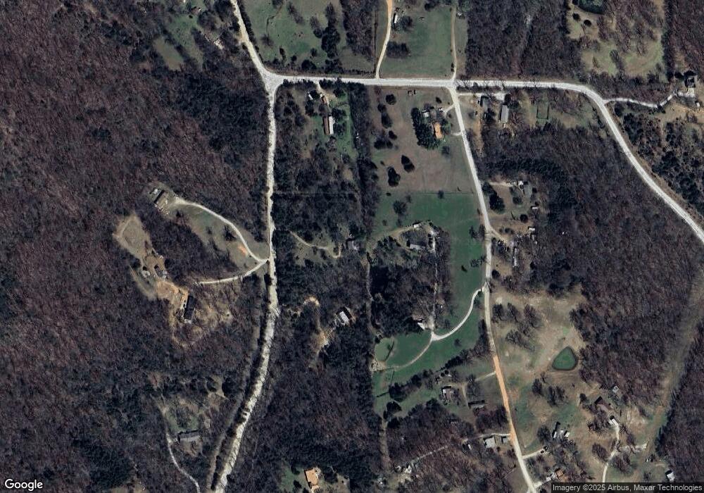
Map
Nearby Homes
- 19105 Feather Hill Rd
- 10030 N Whitehouse Rd
- 10088 S Whitehouse Rd
- 20553 Durham McCord Rd
- 12016 Snake Branch Rd
- 11724 Brubaker Rd
- 0 Trace Branch Rd Unit 1293042
- 503 Jason St
- 607 Jason St
- 517 Jason St
- 12812 Parker Branch Rd
- Tract 3a Downing Rd
- Tract 1a Downing Rd
- Tract 2b Downing Rd
- Tract 2a Downing Rd
- Tract 1b Downing Rd
- 2107 Madison 4097
- 10836 Bray Rd
- 136 Downing (Wc) Rd
- 14477 Hazel Valley Rd
- 11705 Antoinette Rd
- 0 McCord (Cr 40) Rd
- 0 Durham McCord Rd Unit 290000
- 0 Durham McCord Rd Unit 513356
- 0 Durham McCord Rd Unit 1263733
- 0 Durham McCord Rd Unit 1263734
- 0 Durham McCord Rd Unit 533027
- 0 Durham McCord Rd Unit 559157
- 0 Durham McCord Rd Unit 648778
- 0 Durham McCord Rd Unit 701212
- 0 Durham McCord Rd Unit 1029383
- 0 Durham McCord Rd Unit 661337
- 1 Durham McCord Rd
- 18520 Mccord Rd
- 11682 Antoinette Rd
- 0 Tract 4 Durham McCord Rd
- 0 Tract 2 Durham McCord
- 18699 Durham McCord Rd
- 18488 Mccord Rd
- 11867 Antoinette Rd