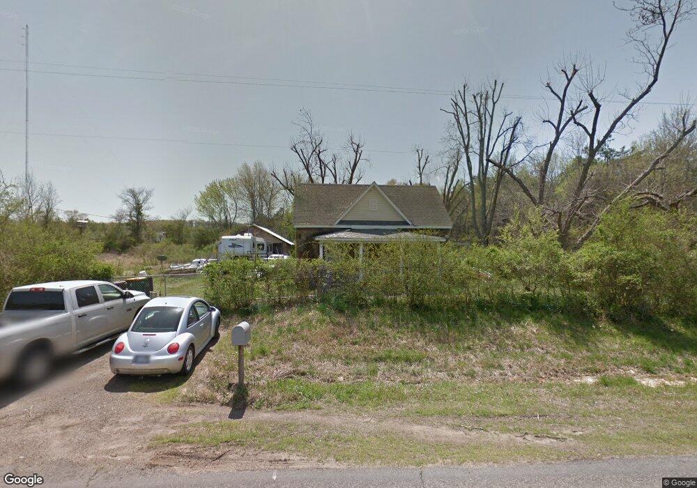
1854 Highway 113 Morrilton, AR 72110
Estimated Value: $55,000 - $138,000
--
Bed
1
Bath
1,350
Sq Ft
$70/Sq Ft
Est. Value
About This Home
This home is located at 1854 Highway 113, Morrilton, AR 72110 and is currently estimated at $94,422, approximately $69 per square foot. 1854 Highway 113 is a home located in Conway County with nearby schools including Morrilton Primary School, Morrilton Elementary School, and Morrilton Intermediate School.
Ownership History
Date
Name
Owned For
Owner Type
Purchase Details
Closed on
Aug 29, 2019
Sold by
Pack Charles W
Bought by
Pack Charles W and Devoe Flor Maria
Current Estimated Value
Purchase Details
Closed on
Nov 5, 1997
Bought by
Pack Charles W
Purchase Details
Closed on
Apr 6, 1992
Bought by
Williams Hazel D
Purchase Details
Closed on
Jan 1, 1984
Bought by
Smith Thurman and Smith Lizzie
Create a Home Valuation Report for This Property
The Home Valuation Report is an in-depth analysis detailing your home's value as well as a comparison with similar homes in the area
Home Values in the Area
Average Home Value in this Area
Purchase History
| Date | Buyer | Sale Price | Title Company |
|---|---|---|---|
| Pack Charles W | -- | None Available | |
| Pack Charles W | -- | -- | |
| Williams Hazel D | $15,300 | -- | |
| Smith Thurman | -- | -- |
Source: Public Records
Tax History Compared to Growth
Tax History
| Year | Tax Paid | Tax Assessment Tax Assessment Total Assessment is a certain percentage of the fair market value that is determined by local assessors to be the total taxable value of land and additions on the property. | Land | Improvement |
|---|---|---|---|---|
| 2024 | $30 | $10,320 | $2,100 | $8,220 |
| 2023 | $30 | $10,320 | $2,100 | $8,220 |
| 2022 | $59 | $10,320 | $2,100 | $8,220 |
| 2021 | $413 | $7,640 | $1,410 | $6,230 |
| 2020 | $413 | $7,640 | $1,410 | $6,230 |
| 2019 | $38 | $7,640 | $1,410 | $6,230 |
| 2018 | $38 | $7,640 | $1,410 | $6,230 |
| 2017 | $0 | $7,640 | $1,410 | $6,230 |
| 2016 | $0 | $7,805 | $1,410 | $6,395 |
| 2015 | $386 | $7,805 | $1,410 | $6,395 |
| 2014 | $371 | $7,805 | $1,410 | $6,395 |
Source: Public Records
Map
Nearby Homes
- 505 N Walnut St
- Block 1 Lots 13 & 14
- Block 1 Lots 16 & 17
- TBD Burrow
- Lot 116 Country View Ct
- 805 W Elm St
- 304 S Ola St
- 116 Lane St
- 116 Lane St Unit 305 S Division Stree
- 403 W Church St
- 202 N Griffin St
- 605 N West St
- 707 N West St
- 405 W Valley St
- 402 N Morrill St
- 200 N Morrill St
- 407 N Oak St
- 403 S West St
- 603 N Division St
- 111 E Commerce St
- 20 Hubbard Loop
- 2015 W Childress St
- 2013 W Childress St
- 15 Hubbard Loop
- 2001 W Childress St
- 5 Hubbard Loop
- 37 Hubbard
- 1911 W Childress St
- 1812 W Railroad Ave
- 1905 W Childress St
- 1901 W Childress St
- 1805 W Childress St
- 412 First St
- 410 First St
- 406 First St
- 1801 W Childress St
- W Childress St
- 1715 W Childress St
- 311 First St
- 307 First St