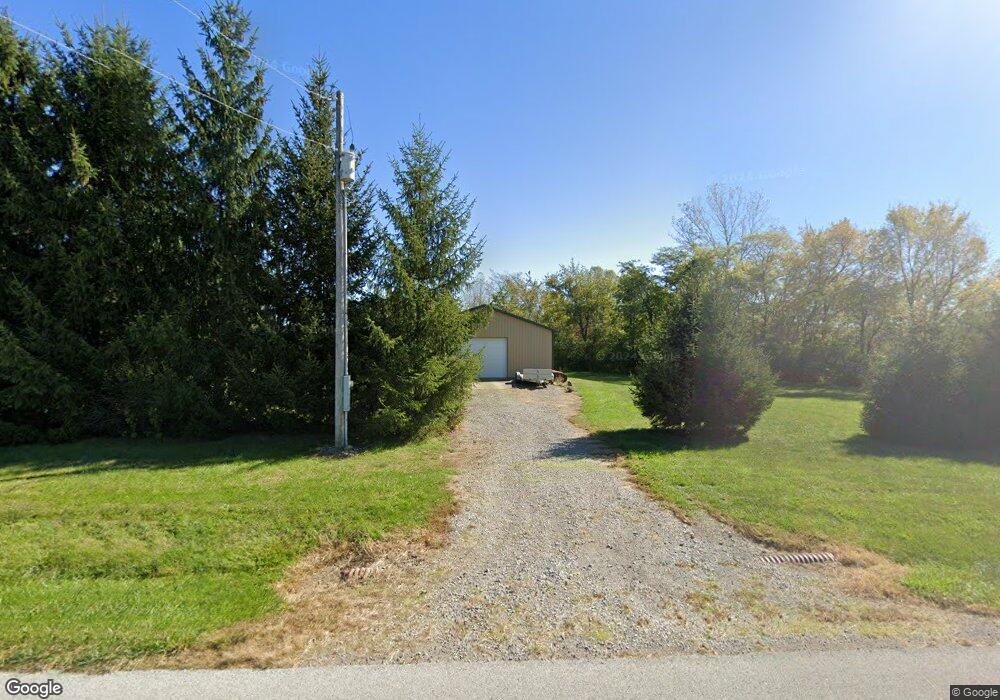
18544 Santa Fe Line Rd Waynesfield, OH 45896
Estimated Value: $282,000 - $347,000
4
Beds
2
Baths
1,764
Sq Ft
$181/Sq Ft
Est. Value
About This Home
This home is located at 18544 Santa Fe Line Rd, Waynesfield, OH 45896 and is currently estimated at $318,583, approximately $180 per square foot. 18544 Santa Fe Line Rd is a home located in Auglaize County with nearby schools including Waynesfield-Goshen Local Elementary School and Waynesfield-Goshen Local High School.
Ownership History
Date
Name
Owned For
Owner Type
Purchase Details
Closed on
Nov 15, 2002
Sold by
Hissong Robert T
Bought by
Pletcher John A
Current Estimated Value
Purchase Details
Closed on
Sep 10, 1999
Sold by
Lucas Darren G
Bought by
Hissong Robert T
Purchase Details
Closed on
Feb 10, 1994
Bought by
Lucas Darren G
Create a Home Valuation Report for This Property
The Home Valuation Report is an in-depth analysis detailing your home's value as well as a comparison with similar homes in the area
Home Values in the Area
Average Home Value in this Area
Purchase History
| Date | Buyer | Sale Price | Title Company |
|---|---|---|---|
| Pletcher John A | $137,000 | -- | |
| Hissong Robert T | $150,000 | -- | |
| Lucas Darren G | $12,500 | -- |
Source: Public Records
Tax History Compared to Growth
Tax History
| Year | Tax Paid | Tax Assessment Tax Assessment Total Assessment is a certain percentage of the fair market value that is determined by local assessors to be the total taxable value of land and additions on the property. | Land | Improvement |
|---|---|---|---|---|
| 2024 | $4,916 | $78,160 | $13,340 | $64,820 |
| 2023 | $2,731 | $78,160 | $13,340 | $64,820 |
| 2022 | $2,636 | $63,980 | $12,880 | $51,100 |
| 2021 | $2,629 | $63,980 | $12,880 | $51,100 |
| 2020 | $2,588 | $63,988 | $12,884 | $51,104 |
| 2019 | $2,107 | $53,326 | $10,738 | $42,588 |
| 2018 | $2,048 | $53,326 | $10,738 | $42,588 |
| 2017 | $2,038 | $53,326 | $10,738 | $42,588 |
| 2016 | $1,864 | $50,369 | $10,227 | $40,142 |
| 2015 | $1,864 | $50,369 | $10,227 | $40,142 |
| 2014 | $1,867 | $50,369 | $10,227 | $40,142 |
| 2013 | $2,074 | $50,369 | $10,227 | $40,142 |
Source: Public Records
Map
Nearby Homes
- 105 Guthrie St
- 202 W Mulberry St
- 25836 Ohio 67
- 22275 Buckland Holden Rd
- 5065 Amherst Rd
- 8150 Amherst Rd
- 20630 State Route 67
- 6616 Bellefontaine Rd
- 7165 Faulkner Rd
- 6381 McPheron Rd
- 0 Ohio 67
- 37 N Main St
- 17 E Walnut St
- E Hanthorn Rd
- 5600 E Hanthorn Rd
- 4160 E Hanthorn Rd
- 3080 E Hanthorn Rd
- 1855 S Cool Rd
- 17946 National Rd
- 1200 E Breese Rd
- 18507 Santa Fe Line Rd
- 18424 Santa Fe Line Rd
- 18376 Santa Fe Line Rd
- 18740 Santa Fe Line Rd
- 18471 Santa Fe Line Rd
- 18402 Santa Fe Line Rd
- 18186 Santa Fe Line Rd
- 18140 Santa Fe Line Rd
- 18143 Santa Fe Line Rd
- 18928 Santa Fe Line Rd
- 18093 Santa Fe Line Rd
- 24144 Buckland Holden Rd
- 23490 Buckland Holden Rd
- 23897 Fairmount Rd
- 23955 Buckland Holden Rd
- 17961 Santa Fe Line Rd
- 23739 Fairmount Rd
- 23717 Buckland Holden Rd
- 23691 Fairmount Rd