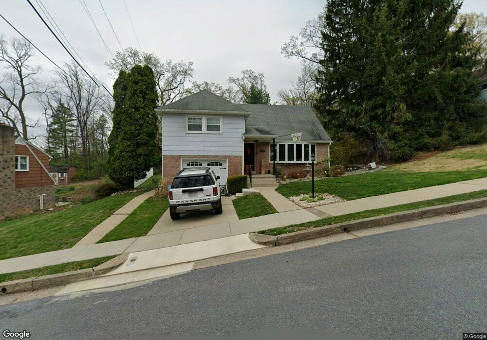
1855 Berks St Reading, PA 19604
College Heights NeighborhoodEstimated Value: $319,943 - $390,000
3
Beds
3
Baths
2,437
Sq Ft
$148/Sq Ft
Est. Value
About This Home
This home is located at 1855 Berks St, Reading, PA 19604 and is currently estimated at $359,986, approximately $147 per square foot. 1855 Berks St is a home located in Berks County with nearby schools including Thirteenth & Union Elementary School, Northeast Middle School, and Reading Senior High School.
Ownership History
Date
Name
Owned For
Owner Type
Purchase Details
Closed on
Apr 27, 2007
Sold by
Readinger Alan S
Bought by
Moran Eddie and Errazuri Ruth
Current Estimated Value
Home Financials for this Owner
Home Financials are based on the most recent Mortgage that was taken out on this home.
Original Mortgage
$155,000
Outstanding Balance
$94,590
Interest Rate
6.23%
Mortgage Type
New Conventional
Estimated Equity
$265,396
Create a Home Valuation Report for This Property
The Home Valuation Report is an in-depth analysis detailing your home's value as well as a comparison with similar homes in the area
Home Values in the Area
Average Home Value in this Area
Purchase History
| Date | Buyer | Sale Price | Title Company |
|---|---|---|---|
| Moran Eddie | $155,000 | None Available |
Source: Public Records
Mortgage History
| Date | Status | Borrower | Loan Amount |
|---|---|---|---|
| Open | Moran Eddie | $155,000 |
Source: Public Records
Tax History Compared to Growth
Tax History
| Year | Tax Paid | Tax Assessment Tax Assessment Total Assessment is a certain percentage of the fair market value that is determined by local assessors to be the total taxable value of land and additions on the property. | Land | Improvement |
|---|---|---|---|---|
| 2025 | $2,866 | $105,600 | $31,400 | $74,200 |
| 2024 | $4,689 | $105,600 | $31,400 | $74,200 |
| 2023 | $4,616 | $105,600 | $31,400 | $74,200 |
| 2022 | $4,616 | $105,600 | $31,400 | $74,200 |
| 2021 | $4,616 | $105,600 | $31,400 | $74,200 |
| 2020 | $4,570 | $105,600 | $31,400 | $74,200 |
| 2019 | $4,570 | $105,600 | $31,400 | $74,200 |
| 2018 | $4,570 | $105,600 | $31,400 | $74,200 |
| 2017 | $4,540 | $105,600 | $31,400 | $74,200 |
| 2016 | $2,594 | $105,600 | $31,400 | $74,200 |
| 2015 | $2,594 | $105,600 | $31,400 | $74,200 |
| 2014 | $2,387 | $105,600 | $31,400 | $74,200 |
Source: Public Records
Map
Nearby Homes
- 1722 Olive St
- 0 Rockland St Unit PABK2041018
- 1511 Union St
- 1532 Oak Ln
- 0 Bingaman Rd
- 1421 Palm St
- 1503 N 12th St
- 0 Crystal Rock Rd Unit 11595132
- 1209 Linden St
- 2024 Kutztown Rd
- 1200 Hampden Blvd
- 1649 N 9th St
- 1347 Mulberry St
- 1343 Mulberry St
- 1016 Josephine Dr
- 2260 Northmont Blvd
- 1357 N 10th St
- 1317 N 10th St
- 705 Alton Ave
- 1302 N 10th St
- 1865 Berks St
- 2120 Lorraine Rd
- 2045 Lorraine Rd
- 2039 Lorraine Rd
- 2033 Lorraine Rd
- 2027 Lorraine Rd
- 2021 Lorraine Rd
- 2015 Lorraine Rd
- 2101 Deer Path Rd
- 2120 Hampden Blvd
- 2194 Deer Path Rd
- 2009 Lorraine Rd
- 2200 Lorraine Rd
- 2122 Hampden Blvd
- 2001 Lorraine Rd
- 2127 N 18th St
- 2118 N 18th St
- 2120 N 18th St
- 2122 N 18th St
- 2210 Hampden Blvd