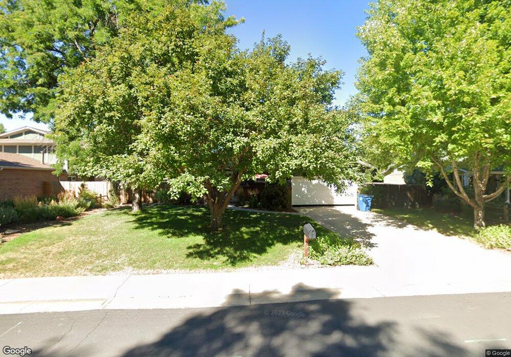
1855 Birch St Broomfield, CO 80020
Northmoor Estates NeighborhoodEstimated Value: $534,371 - $584,000
3
Beds
3
Baths
2,360
Sq Ft
$238/Sq Ft
Est. Value
About This Home
This home is located at 1855 Birch St, Broomfield, CO 80020 and is currently estimated at $562,843, approximately $238 per square foot. 1855 Birch St is a home located in Broomfield County with nearby schools including Aspen Creek K-8 School, Birch Elementary School, and Broomfield High School.
Ownership History
Date
Name
Owned For
Owner Type
Purchase Details
Closed on
Nov 29, 2006
Sold by
The Hanson Living Trust
Bought by
Colclasure Lance and Moura Elizabeth E
Current Estimated Value
Home Financials for this Owner
Home Financials are based on the most recent Mortgage that was taken out on this home.
Original Mortgage
$22,000
Interest Rate
6.05%
Mortgage Type
Unknown
Purchase Details
Closed on
Nov 28, 1984
Purchase Details
Closed on
Oct 25, 1977
Create a Home Valuation Report for This Property
The Home Valuation Report is an in-depth analysis detailing your home's value as well as a comparison with similar homes in the area
Home Values in the Area
Average Home Value in this Area
Purchase History
| Date | Buyer | Sale Price | Title Company |
|---|---|---|---|
| Colclasure Lance | $250,000 | Land Title | |
| -- | $100,000 | -- | |
| -- | $51,000 | -- |
Source: Public Records
Mortgage History
| Date | Status | Borrower | Loan Amount |
|---|---|---|---|
| Closed | Colclasure Lance | $22,000 | |
| Open | Colclasure Lance | $200,000 |
Source: Public Records
Tax History Compared to Growth
Tax History
| Year | Tax Paid | Tax Assessment Tax Assessment Total Assessment is a certain percentage of the fair market value that is determined by local assessors to be the total taxable value of land and additions on the property. | Land | Improvement |
|---|---|---|---|---|
| 2025 | $2,909 | $34,570 | $10,720 | $23,850 |
| 2024 | $2,909 | $31,040 | $9,580 | $21,460 |
| 2023 | $2,903 | $36,020 | $11,120 | $24,900 |
| 2022 | $2,482 | $25,670 | $7,820 | $17,850 |
| 2021 | $2,469 | $26,410 | $8,040 | $18,370 |
| 2020 | $2,297 | $24,420 | $7,510 | $16,910 |
| 2019 | $2,293 | $24,590 | $7,560 | $17,030 |
| 2018 | $2,124 | $22,500 | $5,760 | $16,740 |
| 2017 | $2,092 | $24,870 | $6,370 | $18,500 |
| 2016 | $1,932 | $20,490 | $5,450 | $15,040 |
| 2015 | $1,866 | $18,070 | $5,450 | $12,620 |
| 2014 | $1,682 | $18,070 | $5,450 | $12,620 |
Source: Public Records
Map
Nearby Homes
- 583 Redstone Dr
- 1490 Saint Andrews Dr
- 1732 Peregrine Ln
- 13924 Quail Ridge Dr
- 1201 Dover Ct
- 13980 Willow Wood Dr
- 114 E 14th Ct
- 13774 Sagar Dr
- 13951 Brookside Ct
- 37 E 14th Place
- 4915 Sage Brush Dr
- 13971 Telluride Dr
- Torrey Plan at Dillon Pointe
- Evans Plan at Dillon Pointe
- Antero Plan at Dillon Pointe
- 5704 W 141st Place
- 14111 Blue Stem St
- 1747 Whistlepig Ln
- 14115 Blue Stem St
- 1757 Whistlepig Ln