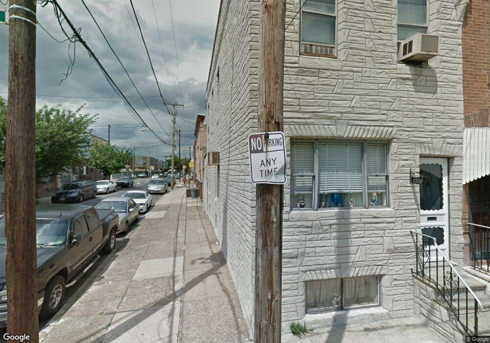
1855 Daly St Philadelphia, PA 19145
South Philadelphia West NeighborhoodEstimated Value: $194,000 - $270,230
3
Beds
1
Bath
1,120
Sq Ft
$219/Sq Ft
Est. Value
About This Home
This home is located at 1855 Daly St, Philadelphia, PA 19145 and is currently estimated at $245,808, approximately $219 per square foot. 1855 Daly St is a home located in Philadelphia County with nearby schools including Stephen Girard School, Universal Vare Charter School, and Universal Audenried Charter High School.
Ownership History
Date
Name
Owned For
Owner Type
Purchase Details
Closed on
Nov 2, 2015
Sold by
Chenoweth Marie T and Estate Of Mary T Caprara
Bought by
Ransted Delta Llc
Current Estimated Value
Home Financials for this Owner
Home Financials are based on the most recent Mortgage that was taken out on this home.
Original Mortgage
$63,000
Outstanding Balance
$49,704
Interest Rate
3.88%
Mortgage Type
Purchase Money Mortgage
Estimated Equity
$196,104
Purchase Details
Closed on
Oct 21, 1959
Bought by
Marcellino Marcellino and Marcellino Mary T
Create a Home Valuation Report for This Property
The Home Valuation Report is an in-depth analysis detailing your home's value as well as a comparison with similar homes in the area
Home Values in the Area
Average Home Value in this Area
Purchase History
| Date | Buyer | Sale Price | Title Company |
|---|---|---|---|
| Ransted Delta Llc | $90,000 | None Available | |
| Marcellino Marcellino | -- | -- |
Source: Public Records
Mortgage History
| Date | Status | Borrower | Loan Amount |
|---|---|---|---|
| Open | Ransted Delta Llc | $63,000 |
Source: Public Records
Tax History Compared to Growth
Tax History
| Year | Tax Paid | Tax Assessment Tax Assessment Total Assessment is a certain percentage of the fair market value that is determined by local assessors to be the total taxable value of land and additions on the property. | Land | Improvement |
|---|---|---|---|---|
| 2025 | $2,888 | $214,200 | $42,840 | $171,360 |
| 2024 | $2,888 | $214,200 | $42,840 | $171,360 |
| 2023 | $2,888 | $206,300 | $41,260 | $165,040 |
| 2022 | $2,636 | $206,300 | $41,260 | $165,040 |
| 2021 | $2,636 | $0 | $0 | $0 |
| 2020 | $2,636 | $0 | $0 | $0 |
| 2019 | $2,450 | $0 | $0 | $0 |
| 2018 | $1,251 | $0 | $0 | $0 |
| 2017 | $1,251 | $0 | $0 | $0 |
| 2016 | $831 | $0 | $0 | $0 |
| 2015 | $8,735 | $0 | $0 | $0 |
| 2014 | -- | $89,400 | $11,970 | $77,430 |
| 2012 | -- | $11,296 | $1,319 | $9,977 |
Source: Public Records
Map
Nearby Homes
- 1841 Wolf St
- 1940 Wolf St
- 2223 S 20th St
- 1738 Wolf St
- 2151 S Opal St
- 2218 S Bouvier St
- 2235 S Bouvier St
- 2329 S Woodstock St
- 2306 S Woodstock St
- 2106 S Garnet St
- 1807 Gladstone St
- 1725 W Ritner St
- 2415 S Opal St
- 1803 Gladstone St
- 2325 S Lambert St
- 2344 S Woodstock St
- 2051 S Dorrance St
- 2051 S Cleveland St
- 2045 S Dorrance St
- 1821 W Porter St