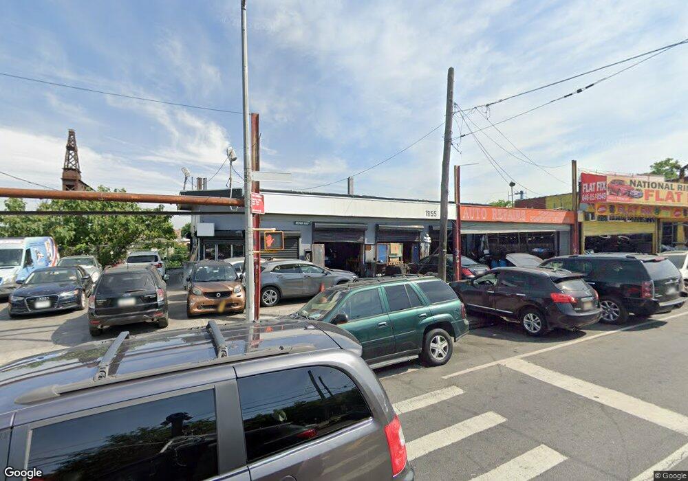
1855 E Tremont Ave Bronx, NY 10460
Parkchester NeighborhoodEstimated Value: $2,903,454
Studio
--
Bath
1,624
Sq Ft
$1,788/Sq Ft
Est. Value
About This Home
This home is located at 1855 E Tremont Ave, Bronx, NY 10460 and is currently estimated at $2,903,454, approximately $1,787 per square foot. 1855 E Tremont Ave is a home located in Bronx County with nearby schools including P.S. 083 The Donald Hertz School, Children's Aid College Preparatory Charter School, and Bold Charter School.
Ownership History
Date
Name
Owned For
Owner Type
Purchase Details
Closed on
Apr 14, 2014
Sold by
Tcb Property Management Corp
Bought by
K & R Parking Corp
Current Estimated Value
Home Financials for this Owner
Home Financials are based on the most recent Mortgage that was taken out on this home.
Original Mortgage
$493,672
Outstanding Balance
$375,566
Interest Rate
4.36%
Mortgage Type
Commercial
Estimated Equity
$2,527,888
Purchase Details
Closed on
Dec 6, 1996
Sold by
Martinez Joseph and Martinez Margaret
Bought by
Tcb Property Management Corp
Home Financials for this Owner
Home Financials are based on the most recent Mortgage that was taken out on this home.
Original Mortgage
$200,000
Interest Rate
7.77%
Mortgage Type
Seller Take Back
Create a Home Valuation Report for This Property
The Home Valuation Report is an in-depth analysis detailing your home's value as well as a comparison with similar homes in the area
Home Values in the Area
Average Home Value in this Area
Purchase History
| Date | Buyer | Sale Price | Title Company |
|---|---|---|---|
| K & R Parking Corp | $1,600,000 | -- | |
| Tcb Property Management Corp | $235,000 | -- |
Source: Public Records
Mortgage History
| Date | Status | Borrower | Loan Amount |
|---|---|---|---|
| Open | K & R Parking Corp | $493,672 | |
| Previous Owner | Tcb Property Management Corp | $200,000 |
Source: Public Records
Tax History
| Year | Tax Paid | Tax Assessment Tax Assessment Total Assessment is a certain percentage of the fair market value that is determined by local assessors to be the total taxable value of land and additions on the property. | Land | Improvement |
|---|---|---|---|---|
| 2025 | $40,085 | $385,380 | $167,850 | $217,530 |
| 2024 | $40,085 | $378,450 | $167,850 | $210,600 |
| 2023 | $39,686 | $372,780 | $167,850 | $204,930 |
| 2022 | $39,105 | $363,600 | $167,850 | $195,750 |
| 2021 | $33,349 | $311,850 | $167,850 | $144,000 |
| 2020 | $36,558 | $409,950 | $167,850 | $242,100 |
| 2019 | $30,791 | $392,850 | $167,850 | $225,000 |
| 2018 | $25,407 | $376,650 | $167,850 | $208,800 |
| 2017 | $20,050 | $275,850 | $167,850 | $108,000 |
| 2016 | $16,805 | $279,450 | $167,850 | $111,600 |
| 2015 | $8,908 | $139,500 | $127,800 | $11,700 |
| 2014 | $8,908 | $136,800 | $127,800 | $9,000 |
Source: Public Records
Map
Nearby Homes
- 623 Baker Ave
- 1639 Garfield St
- 1620 Taylor Ave
- 1679 Unionport Rd
- 1667 Hunt Ave
- 588 van Nest Ave
- 1936 E Tremont Ave Unit 5H
- 1938 E Tremont Ave Unit 5C
- 591 van Nest Ave
- 1530 Archer Rd Unit TB
- 679 van Nest Ave
- 1576 Unionport Rd Unit 5F
- 1721 White Plains Rd
- 1601 Van Buren St
- 1713 Taylor Ave
- 1566 Unionport Rd Unit 1C
- 760 van Nest Ave
- 1727 Victor St
- 1731 White Plains Rd
- 1970 E Tremont Ave Unit 1C
- 1865 E Tremont Ave
- 1860 E Tremont Ave
- 1872 E Tremont Ave
- 1840 E Tremont Ave
- 622 Baker Ave
- 622 Baker Ave Unit 2
- 624 Baker Ave
- 616 Baker Ave
- 626 Baker Ave
- 620 Baker Ave
- 618 Baker Ave
- 628 Baker Ave
- 1591 White Plains Rd
- 1581 Leland Ave
- 1841 E Tremont Ave
- 630 Baker Ave
- 614 Baker Ave
- 632 Baker Ave
- 606 Baker Ave
- 634 Baker Ave
Your Personal Tour Guide
Ask me questions while you tour the home.