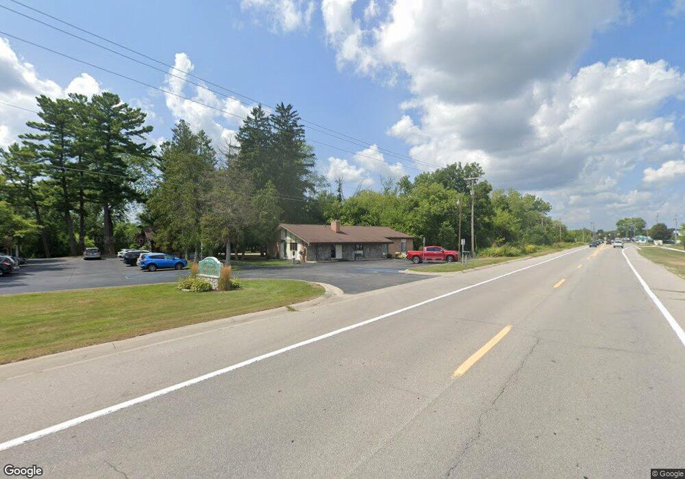
1855 Midland Rd Saginaw, MI 48638
Estimated Value: $166,000 - $408,168
4
Beds
4
Baths
2,542
Sq Ft
$125/Sq Ft
Est. Value
About This Home
This home is located at 1855 Midland Rd, Saginaw, MI 48638 and is currently estimated at $318,792, approximately $125 per square foot. 1855 Midland Rd is a home with nearby schools including Arrowwood Elementary School, Westdale Elementary School, and White Pine Middle School.
Ownership History
Date
Name
Owned For
Owner Type
Purchase Details
Closed on
Sep 3, 2002
Sold by
Cline W M and S M
Bought by
Rahbsc Llc
Current Estimated Value
Home Financials for this Owner
Home Financials are based on the most recent Mortgage that was taken out on this home.
Original Mortgage
$360,000
Outstanding Balance
$150,384
Interest Rate
6.24%
Mortgage Type
Purchase Money Mortgage
Estimated Equity
$168,408
Purchase Details
Closed on
Sep 11, 1997
Sold by
Mcquillan W J & A Trustee
Bought by
Cline W M and S M
Create a Home Valuation Report for This Property
The Home Valuation Report is an in-depth analysis detailing your home's value as well as a comparison with similar homes in the area
Home Values in the Area
Average Home Value in this Area
Purchase History
| Date | Buyer | Sale Price | Title Company |
|---|---|---|---|
| Rahbsc Llc | -- | -- | |
| Rahbsc Llc | -- | -- | |
| Cline W M | $450,000 | -- | |
| Cline William L | $150,000 | -- | |
| Cline William J | $300,000 | -- |
Source: Public Records
Mortgage History
| Date | Status | Borrower | Loan Amount |
|---|---|---|---|
| Open | Rahbsc Llc | $360,000 |
Source: Public Records
Tax History Compared to Growth
Tax History
| Year | Tax Paid | Tax Assessment Tax Assessment Total Assessment is a certain percentage of the fair market value that is determined by local assessors to be the total taxable value of land and additions on the property. | Land | Improvement |
|---|---|---|---|---|
| 2025 | $11,130 | $200,000 | $0 | $0 |
| 2024 | $7,826 | $206,700 | $0 | $0 |
| 2023 | $7,451 | $196,800 | $0 | $0 |
| 2022 | $9,753 | $182,500 | $0 | $0 |
| 2021 | $9,128 | $174,300 | $0 | $0 |
| 2020 | $9,082 | $177,600 | $0 | $0 |
| 2019 | $8,760 | $175,600 | $30,800 | $144,800 |
| 2018 | $6,049 | $166,900 | $0 | $0 |
| 2017 | $8,919 | $193,200 | $0 | $0 |
| 2016 | $8,820 | $185,600 | $0 | $0 |
| 2014 | $8,554 | $187,700 | $0 | $156,900 |
| 2013 | -- | $185,700 | $0 | $0 |
Source: Public Records
Map
Nearby Homes
- 6419 Cranston Place
- 63 Bunny Trail
- 62 Bunny Trail
- 68 Bunny Trail
- 71 Bunny Trail
- 72 Bunny Trail
- 67 Bunny Trail
- 69 Bunny Trail
- 1439 Midland Rd
- 70 Bunny Trail
- 79 Deer Trail
- 80 Deer Trail
- 58 Deer Trail
- 75 Foxwood Dr
- 73 Foxwood Dr
- 1900 Bunny Trail
- 76 Foxwood Dr
- 74 Foxwood Dr
- 6291 Stansbury Ln
- 1839 Kingston Dr
- 1845 Midland Rd
- 1835 Midland Rd
- 1901 Midland Rd
- 1800 Midland Rd
- 1777 Midland Rd
- 1850 Midland Rd
- 1939 Midland Rd
- 1765 Midland Rd
- 1735 Midland Rd
- 1975 Midland Rd
- 1740 Midland Rd
- 1709 Midland Rd
- 1700 Midland Rd
- 1669 Midland Rd
- 6410 Normandy Dr
- 6480 State St
- 6430 State St
- 1668 Midland Rd
- 2100 Midland Rd
- 1665 Midland Rd