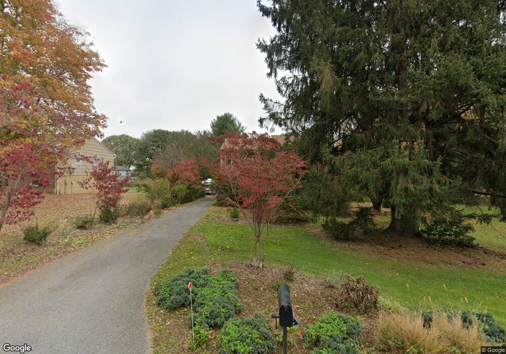
1855 Woodstock Rd Woodstock, MD 21163
Woodstock NeighborhoodEstimated Value: $626,591 - $865,000
--
Bed
3
Baths
2,804
Sq Ft
$273/Sq Ft
Est. Value
About This Home
This home is located at 1855 Woodstock Rd, Woodstock, MD 21163 and is currently estimated at $764,148, approximately $272 per square foot. 1855 Woodstock Rd is a home located in Howard County with nearby schools including Waverly Elementary School, Mount View Middle School, and Marriotts Ridge High School.
Ownership History
Date
Name
Owned For
Owner Type
Purchase Details
Closed on
Feb 11, 2002
Sold by
Lee Knapp Lori
Bought by
Lee Perry Lori and Lee Perry Randy
Current Estimated Value
Purchase Details
Closed on
May 19, 1986
Sold by
Brandes Edna
Bought by
Knapp Lori Lee
Home Financials for this Owner
Home Financials are based on the most recent Mortgage that was taken out on this home.
Original Mortgage
$67,500
Interest Rate
10.08%
Create a Home Valuation Report for This Property
The Home Valuation Report is an in-depth analysis detailing your home's value as well as a comparison with similar homes in the area
Home Values in the Area
Average Home Value in this Area
Purchase History
| Date | Buyer | Sale Price | Title Company |
|---|---|---|---|
| Lee Perry Lori | -- | -- | |
| Knapp Lori Lee | $45,000 | -- |
Source: Public Records
Mortgage History
| Date | Status | Borrower | Loan Amount |
|---|---|---|---|
| Previous Owner | Knapp Lori Lee | $67,500 |
Source: Public Records
Tax History Compared to Growth
Tax History
| Year | Tax Paid | Tax Assessment Tax Assessment Total Assessment is a certain percentage of the fair market value that is determined by local assessors to be the total taxable value of land and additions on the property. | Land | Improvement |
|---|---|---|---|---|
| 2025 | $7,294 | $521,567 | $0 | $0 |
| 2024 | $7,294 | $488,900 | $226,200 | $262,700 |
| 2023 | $6,909 | $472,333 | $0 | $0 |
| 2022 | $6,644 | $455,767 | $0 | $0 |
| 2021 | $6,420 | $439,200 | $210,000 | $229,200 |
| 2020 | $6,420 | $439,200 | $210,000 | $229,200 |
| 2019 | $6,420 | $439,200 | $210,000 | $229,200 |
| 2018 | $6,282 | $454,800 | $183,500 | $271,300 |
| 2017 | $6,105 | $454,800 | $0 | $0 |
| 2016 | -- | $431,200 | $0 | $0 |
| 2015 | -- | $419,400 | $0 | $0 |
| 2014 | -- | $419,400 | $0 | $0 |
Source: Public Records
Map
Nearby Homes
- 10715 Taylor Farm Rd
- 1800 Mount Denali Dr
- 10655 Breezewood Dr
- 10682 Hillingdon Rd
- 11100 Chambers Ct Unit C
- 11100 Chambers Ct Unit F
- 11100 Chambers Ct Unit K
- 2208 Merion Pond
- 1502 Grooms Ln
- 11110 Chambers Ct Unit A
- 11120 Chambers Ct Unit Q
- 2115 Ganton Green Unit G106
- 2111 Ganton Green
- 11150 Chambers Ct Unit H
- 1725 Marriottsville Rd
- 10225 Green Clover Dr
- 10311 Winstead Ct
- 10205 Cabery Rd
- 10170 Green Clover Dr
- 10174 Tracy Beth Ct
- 1845 Woodstock Rd
- 1841 Woodstock Rd
- 1825 Woodstock Rd
- 10618 Browns Farm Rd
- 1801 Quarter Horse Dr
- 10624 Browns Farm Rd
- 10610 Browns Farm Rd
- 1821 Woodstock Rd
- 10630 Browns Farm Rd
- 1900 Woodstock Rd
- 1820 Woodstock Rd
- 10625 Browns Farm Rd
- 10629 Browns Farm Rd
- 10621 Browns Farm Rd
- 10635 Browns Farm Rd
- 10615 Browns Farm Rd
- 1888 Woodstock Rd
- 25015 Stanley Hills Way
- 1805 Quarter Horse Dr
- 1920 Woodstock Rd