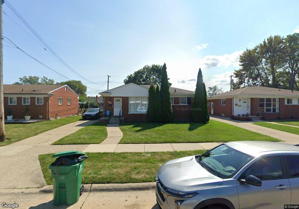
18554 Michael Ave Eastpointe, MI 48021
Estimated Value: $172,249 - $195,000
Studio
2
Baths
1,096
Sq Ft
$169/Sq Ft
Est. Value
About This Home
This home is located at 18554 Michael Ave, Eastpointe, MI 48021 and is currently estimated at $184,812, approximately $168 per square foot. 18554 Michael Ave is a home located in Macomb County with nearby schools including Forest Park Elementary School, Eastpointe Middle School, and Reach Charter Academy.
Ownership History
Date
Name
Owned For
Owner Type
Purchase Details
Closed on
Feb 10, 2004
Sold by
The Estate Of Leo Cangelosi
Bought by
Horman David A and Garza Stephanie M
Current Estimated Value
Create a Home Valuation Report for This Property
The Home Valuation Report is an in-depth analysis detailing your home's value as well as a comparison with similar homes in the area
Home Values in the Area
Average Home Value in this Area
Purchase History
| Date | Buyer | Sale Price | Title Company |
|---|---|---|---|
| Horman David A | $114,000 | Metropolitan Title Company |
Source: Public Records
Tax History
| Year | Tax Paid | Tax Assessment Tax Assessment Total Assessment is a certain percentage of the fair market value that is determined by local assessors to be the total taxable value of land and additions on the property. | Land | Improvement |
|---|---|---|---|---|
| 2025 | $2,320 | $89,400 | $0 | $0 |
| 2024 | $22 | $84,100 | $0 | $0 |
| 2023 | $2,597 | $75,900 | $0 | $0 |
| 2022 | $2,246 | $65,200 | $0 | $0 |
| 2021 | $2,212 | $58,700 | $0 | $0 |
| 2020 | $2,112 | $57,900 | $0 | $0 |
| 2019 | $2,554 | $46,800 | $0 | $0 |
| 2018 | $2,854 | $40,840 | $0 | $0 |
| 2017 | $2,548 | $35,980 | $3,540 | $32,440 |
| 2016 | $2,361 | $35,980 | $0 | $0 |
| 2015 | $1,895 | $31,320 | $0 | $0 |
| 2013 | $1,884 | $30,630 | $0 | $0 |
Source: Public Records
Map
Nearby Homes
- 18595 Stephens Dr
- 18575 Michael Ave
- 18429 Stephens Rd
- 24515 Petersburg Ave
- 24263 Marine Ave
- 24336 Warrington Ct
- 24636 Almond Ave
- 24287 Teppert Ave
- 23301 Kelly Rd
- 24572 Rosalind Ave
- 23155 Raven Ave
- 24821 Almond Ave
- 24705 Raven Ave
- 23708 Lexington Ave
- 24643 Rosalind Ave
- 24834 Marine Ave
- 24880 Warrington Ave
- 19063 Biscayne Ave
- 22795 Almond Ave
- 22779 Almond Ave
- 18564 Michael Ave
- 18544 Michael Ave
- 18544 Michael Ave Unit Michael
- 18574 Michael Ave
- 18565 Stephens Dr
- 18534 Michael Ave
- 18555 Stephens Dr
- 18575 Stephens Dr
- 18545 Stephens Dr
- 18585 Stephens Dr
- 18584 Michael Ave
- 18524 Michael Ave
- 18555 Michael Ave
- 18545 Michael Ave
- 18535 Stephens Dr
- 18565 Michael Ave
- 18525 Stephens Dr
- 18514 Michael Ave
- 18525 Michael Ave
- 18585 Michael Ave
Your Personal Tour Guide
Ask me questions while you tour the home.