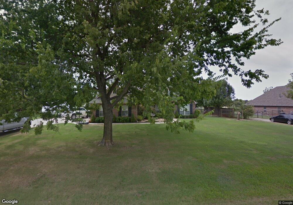
18556 E 79th St N Owasso, OK 74055
Estimated Value: $377,065 - $469,000
3
Beds
3
Baths
2,092
Sq Ft
$204/Sq Ft
Est. Value
About This Home
This home is located at 18556 E 79th St N, Owasso, OK 74055 and is currently estimated at $425,766, approximately $203 per square foot. 18556 E 79th St N is a home located in Rogers County with nearby schools including Stone Canyon Elementary School, Owasso 6th Grade Center, and Owasso 8th Grade Center.
Ownership History
Date
Name
Owned For
Owner Type
Purchase Details
Closed on
Sep 26, 2005
Sold by
Stites Shawn D and Stites Amy M
Bought by
Landers Michael Ray and Landers Brenda Gale
Current Estimated Value
Home Financials for this Owner
Home Financials are based on the most recent Mortgage that was taken out on this home.
Original Mortgage
$198,300
Outstanding Balance
$104,838
Interest Rate
5.76%
Mortgage Type
New Conventional
Estimated Equity
$320,928
Purchase Details
Closed on
Apr 29, 2005
Sold by
Sokolosky Phyllis J and Sokolosky M D
Bought by
Stites Shawn D and Stites Amy M
Home Financials for this Owner
Home Financials are based on the most recent Mortgage that was taken out on this home.
Original Mortgage
$171,000
Interest Rate
5.92%
Mortgage Type
Purchase Money Mortgage
Create a Home Valuation Report for This Property
The Home Valuation Report is an in-depth analysis detailing your home's value as well as a comparison with similar homes in the area
Purchase History
| Date | Buyer | Sale Price | Title Company |
|---|---|---|---|
| Landers Michael Ray | $220,500 | None Available | |
| Stites Shawn D | $39,500 | None Available |
Source: Public Records
Mortgage History
| Date | Status | Borrower | Loan Amount |
|---|---|---|---|
| Open | Landers Michael Ray | $198,300 | |
| Previous Owner | Stites Shawn D | $171,000 |
Source: Public Records
Tax History
| Year | Tax Paid | Tax Assessment Tax Assessment Total Assessment is a certain percentage of the fair market value that is determined by local assessors to be the total taxable value of land and additions on the property. | Land | Improvement |
|---|---|---|---|---|
| 2025 | $3,514 | $33,275 | $5,990 | $27,285 |
| 2024 | $3,469 | $32,306 | $5,815 | $26,491 |
| 2023 | $3,469 | $31,365 | $5,598 | $25,767 |
| 2022 | $3,320 | $30,452 | $4,950 | $25,502 |
| 2021 | $3,185 | $29,565 | $4,950 | $24,615 |
| 2020 | $3,095 | $29,097 | $4,950 | $24,147 |
| 2019 | $3,004 | $27,947 | $4,950 | $22,997 |
| 2018 | $2,984 | $28,669 | $4,950 | $23,719 |
| 2017 | $2,954 | $28,133 | $4,945 | $23,188 |
| 2016 | $2,867 | $27,313 | $4,931 | $22,382 |
| 2015 | $2,807 | $26,518 | $4,896 | $21,622 |
| 2014 | $2,737 | $25,745 | $4,793 | $20,952 |
Source: Public Records
Map
Nearby Homes
- 18522 E 79th St N
- 18525 Onyx Pass
- 18515 Onyx Pass
- 7766 Remington Way
- 7676 Remington Way
- 17798 E Anthem Ridge Rd
- 7701 Remington Way
- 7675 Silverado Dr
- 7615 Silverado Dr
- 18894 E 80th St N
- 19104 E Beecher Ct
- 7250 N 194th East Ave
- 19524 E 74th Place N
- 8219 N 175th East Ave
- 8228 N 175th Ave E
- 7160 Bluebird Ct
- 7177 N 196th East Ave
- 20033 E 75th Ct N
- 7235 N 198th East Ave
- 7296 N 200th East Ave
- 7864 N 186th East Ave
- 18555 E 79th St N
- 18593 E 79th St N
- 18517 E 79th St N
- 18510 E 79th St N
- 7844 N 186th East Ave
- 18509 E 79th St N
- 18454 E 79th St N
- 7865 N 186th East Ave
- 18451 E 79th St N
- 7920 N 187th East Ave
- 7944 N 187th East Ave
- 7843 N 186th Ave E
- 18414 E 79th St N
- 18694 E 79th St N
- 7968 N 187th East Ave
- 18411 E 79th St N
- 7968 N 187th Ave E
- 18602 E 80th St N
- 18722 E 79th St N
Your Personal Tour Guide
Ask me questions while you tour the home.