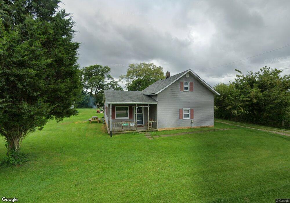
18557 State Route 47 Raymond, OH 43067
Estimated Value: $199,000 - $232,000
2
Beds
1
Bath
1,079
Sq Ft
$199/Sq Ft
Est. Value
About This Home
This home is located at 18557 State Route 47, Raymond, OH 43067 and is currently estimated at $214,837, approximately $199 per square foot. 18557 State Route 47 is a home located in Union County with nearby schools including North Union Elementary School, North Union Middle School, and North Union High School.
Ownership History
Date
Name
Owned For
Owner Type
Purchase Details
Closed on
Sep 10, 2021
Bought by
Walke Robert E and Walke Linda D
Current Estimated Value
Create a Home Valuation Report for This Property
The Home Valuation Report is an in-depth analysis detailing your home's value as well as a comparison with similar homes in the area
Purchase History
| Date | Buyer | Sale Price | Title Company |
|---|---|---|---|
| Walke Robert E | -- | -- |
Source: Public Records
Tax History
| Year | Tax Paid | Tax Assessment Tax Assessment Total Assessment is a certain percentage of the fair market value that is determined by local assessors to be the total taxable value of land and additions on the property. | Land | Improvement |
|---|---|---|---|---|
| 2025 | $1,696 | $54,410 | $7,120 | $47,290 |
| 2024 | $1,696 | $57,330 | $4,620 | $52,710 |
| 2023 | $2,019 | $57,330 | $4,620 | $52,710 |
| 2022 | $2,032 | $57,330 | $4,620 | $52,710 |
| 2021 | $1,430 | $40,170 | $3,560 | $36,610 |
| 2020 | $1,333 | $40,170 | $3,560 | $36,610 |
| 2019 | $1,755 | $40,170 | $3,560 | $36,610 |
| 2018 | $1,235 | $27,840 | $3,560 | $24,280 |
| 2017 | $1,228 | $27,840 | $3,560 | $24,280 |
| 2016 | $1,244 | $27,840 | $3,560 | $24,280 |
| 2015 | $941 | $20,290 | $3,560 | $16,730 |
| 2014 | $907 | $20,290 | $3,560 | $16,730 |
| 2013 | $921 | $20,290 | $3,560 | $16,730 |
Source: Public Records
Map
Nearby Homes
- 28384 Bitler Rd
- 16574 Miller Rd
- 30650 State Route 739
- 18200 State Route 347
- 23634 Center St
- 31434 State Route 31
- 31516 State Route 31
- 0 Ohio 31
- 23180 State Route 31
- 13701 State Route 47
- 16838 Martin Welch Rd
- 32000 N Middlesworth Rd
- 23564 Shirk Ave
- 0 Main St
- 23484 Dayton Ave
- 17200 State Route 739
- 0 Winnemac Rd Unit Tract 1 225033712
- 0 Winnemac Rd Unit Tract 3 225033725
- 0 Winnemac Rd Unit Tract 5 225033739
- 16791 State Route 739
- 18511 State Route 47
- 27597 Ohio 31
- 27611 State Route 31
- 27611 Ohio 31
- 27601 State Route 31
- 27644 Ohio 31
- 27701 State Route 31
- 27644 State Route 31
- 27633 State Route 31
- 18450 State Route 47
- 18431 State Route 47
- 27586 State Route 31
- 27556 State Route 31
- 27729 State Route 31
- 27710 State Route 31
- 27789 State Route 31
- 18403 State Route 47
- 27762 State Route 31
- 18400 State Route 47
- 27480 State Route 31
Your Personal Tour Guide
Ask me questions while you tour the home.