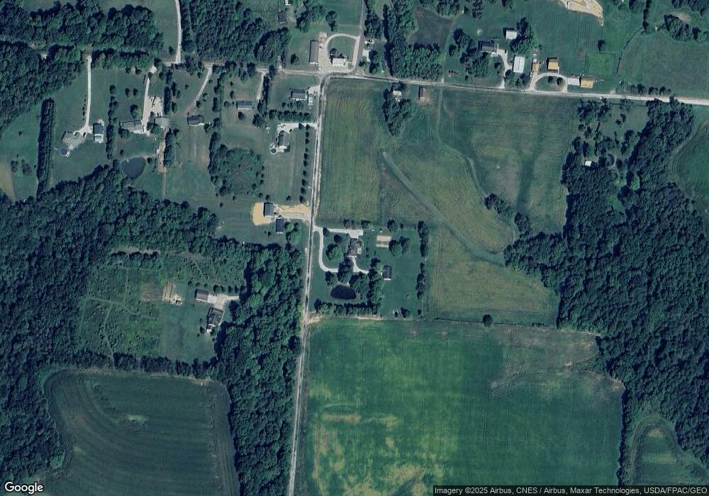
1856 Locust Grove Rd NE Bremen, OH 43107
Estimated Value: $294,000 - $481,000
3
Beds
2
Baths
1,788
Sq Ft
$230/Sq Ft
Est. Value
About This Home
This home is located at 1856 Locust Grove Rd NE, Bremen, OH 43107 and is currently estimated at $411,550, approximately $230 per square foot. 1856 Locust Grove Rd NE is a home located in Fairfield County with nearby schools including Bremen Elementary School and Fairfield Union High School.
Ownership History
Date
Name
Owned For
Owner Type
Purchase Details
Closed on
Dec 15, 1998
Sold by
White Keith A
Bought by
Winegardner Rick R and Winegardner Melody
Current Estimated Value
Purchase Details
Closed on
Apr 21, 1998
Sold by
Est Evelyn L Cox
Bought by
White Keith A
Home Financials for this Owner
Home Financials are based on the most recent Mortgage that was taken out on this home.
Original Mortgage
$13,610
Interest Rate
11.75%
Mortgage Type
New Conventional
Create a Home Valuation Report for This Property
The Home Valuation Report is an in-depth analysis detailing your home's value as well as a comparison with similar homes in the area
Home Values in the Area
Average Home Value in this Area
Purchase History
| Date | Buyer | Sale Price | Title Company |
|---|---|---|---|
| Winegardner Rick R | $20,000 | -- | |
| White Keith A | $19,650 | -- |
Source: Public Records
Mortgage History
| Date | Status | Borrower | Loan Amount |
|---|---|---|---|
| Previous Owner | White Keith A | $13,610 |
Source: Public Records
Tax History Compared to Growth
Tax History
| Year | Tax Paid | Tax Assessment Tax Assessment Total Assessment is a certain percentage of the fair market value that is determined by local assessors to be the total taxable value of land and additions on the property. | Land | Improvement |
|---|---|---|---|---|
| 2024 | $7,905 | $103,530 | $13,380 | $90,150 |
| 2023 | $4,040 | $103,530 | $13,380 | $90,150 |
| 2022 | $4,041 | $103,530 | $13,380 | $90,150 |
| 2021 | $3,397 | $79,740 | $12,740 | $67,000 |
| 2020 | $3,333 | $79,740 | $12,740 | $67,000 |
| 2019 | $3,263 | $79,740 | $12,740 | $67,000 |
| 2018 | $2,751 | $62,080 | $12,740 | $49,340 |
| 2017 | $2,752 | $65,170 | $12,740 | $52,430 |
| 2016 | $2,712 | $65,170 | $12,740 | $52,430 |
| 2015 | $2,660 | $62,850 | $12,740 | $50,110 |
| 2014 | $2,614 | $62,850 | $12,740 | $50,110 |
| 2013 | $2,614 | $62,850 | $12,740 | $50,110 |
Source: Public Records
Map
Nearby Homes
- 4287 Otterbein Rd NW
- 7699 Stage Coach Rd NW
- 10947 Graffis Rd SE
- 255 Jerusalem Rd SE
- 865 Logan Thornville Rd NE
- 3291 Oak Leaf Ln
- 4009 Logan-Thornville Rd NE
- 261 Northridge Dr
- 204 N Mulberry St
- 8080 Lancaster New Lexington Rd SE
- 255 School St
- 4065 Logan-Thornville Rd NE
- 0 Toll Gate Rd
- 219 School St
- 410 Marietta St
- 524 Marietta St
- 7489 Main St
- 7669 Richland Rd NE
- 0 NE Coonpath Rd Unit 225034184
- 0 NE Coonpath Rd Unit 1 225014567
- 1867 Locust Grove Rd NE
- 1867 Locust Grove Bremen
- 1935 Locust Grove Rd NE
- 1803 Locust Grove Rd NE
- 10981 Avalon Rd NE
- 11040 Avalon Rd NE
- 11040 Avalon Rd
- 11040 County Road 63
- 10985 Avalon Rd NE
- 11130 Avalon Rd
- 10949 Avalon Rd NE
- 10970 Avalon Rd
- 3145 County Road 63 NW
- 10903 Avalon Rd NE
- 10875 Avalon Rd NE
- 0 Locust Grove Rd NE
- 1510 Locust Grove Rd NE
- 1440 Locust Grove Rd NE
- 3367 County Road 63 NW
- 1390 Locust Grove Rd NE
