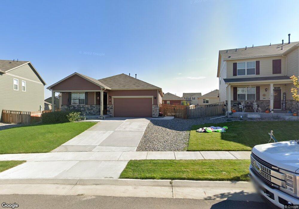
1856 Ruby Ct Lochbuie, CO 80603
Silver Peaks NeighborhoodEstimated Value: $469,000 - $475,000
3
Beds
3
Baths
1,743
Sq Ft
$270/Sq Ft
Est. Value
About This Home
This home is located at 1856 Ruby Ct, Lochbuie, CO 80603 and is currently estimated at $471,187, approximately $270 per square foot. 1856 Ruby Ct is a home located in Weld County with nearby schools including Weld Central Senior High School, Bromley East Charter School, and Foundations Academy.
Ownership History
Date
Name
Owned For
Owner Type
Purchase Details
Closed on
Feb 8, 2021
Sold by
Cassese Joseph P and Cassese Katherine I
Bought by
Flesner John W and Flesner Sherri L
Current Estimated Value
Home Financials for this Owner
Home Financials are based on the most recent Mortgage that was taken out on this home.
Original Mortgage
$324,000
Outstanding Balance
$289,531
Interest Rate
2.65%
Mortgage Type
New Conventional
Estimated Equity
$181,656
Purchase Details
Closed on
Dec 27, 2018
Sold by
Melody Homes Inc
Bought by
Cassecse Joseph P and Cassecse Katherine I
Home Financials for this Owner
Home Financials are based on the most recent Mortgage that was taken out on this home.
Original Mortgage
$301,750
Interest Rate
4.9%
Mortgage Type
New Conventional
Create a Home Valuation Report for This Property
The Home Valuation Report is an in-depth analysis detailing your home's value as well as a comparison with similar homes in the area
Home Values in the Area
Average Home Value in this Area
Purchase History
| Date | Buyer | Sale Price | Title Company |
|---|---|---|---|
| Flesner John W | $410,000 | First American | |
| Cassecse Joseph P | $355,000 | Heritage Title Co |
Source: Public Records
Mortgage History
| Date | Status | Borrower | Loan Amount |
|---|---|---|---|
| Open | Flesner John W | $324,000 | |
| Previous Owner | Cassecse Joseph P | $301,750 |
Source: Public Records
Tax History
| Year | Tax Paid | Tax Assessment Tax Assessment Total Assessment is a certain percentage of the fair market value that is determined by local assessors to be the total taxable value of land and additions on the property. | Land | Improvement |
|---|---|---|---|---|
| 2025 | $4,252 | $29,000 | $7,810 | $21,190 |
| 2024 | $4,252 | $29,000 | $7,810 | $21,190 |
| 2023 | $4,139 | $33,160 | $8,120 | $25,040 |
| 2022 | $3,231 | $24,170 | $4,520 | $19,650 |
| 2021 | $3,387 | $24,860 | $4,650 | $20,210 |
| 2020 | $3,173 | $24,060 | $3,220 | $20,840 |
| 2019 | $3,319 | $24,060 | $3,220 | $20,840 |
| 2018 | $1 | $10 | $10 | $0 |
| 2017 | $6 | $10 | $10 | $0 |
| 2016 | $6 | $10 | $10 | $0 |
| 2015 | $6 | $10 | $10 | $0 |
| 2014 | $6 | $10 | $10 | $0 |
Source: Public Records
Map
Nearby Homes
Your Personal Tour Guide
Ask me questions while you tour the home.