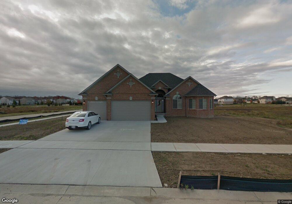
18564 Opal Dr Macomb, MI 48042
Estimated Value: $481,551 - $542,000
3
Beds
3
Baths
2,062
Sq Ft
$244/Sq Ft
Est. Value
About This Home
This home is located at 18564 Opal Dr, Macomb, MI 48042 and is currently estimated at $502,138, approximately $243 per square foot. 18564 Opal Dr is a home with nearby schools including New Haven High School, St. Peter Lutheran School, and Lutheran North High School.
Ownership History
Date
Name
Owned For
Owner Type
Purchase Details
Closed on
Sep 14, 2012
Sold by
Clearmont Llc
Bought by
Messner Michael C
Current Estimated Value
Home Financials for this Owner
Home Financials are based on the most recent Mortgage that was taken out on this home.
Original Mortgage
$203,076
Outstanding Balance
$140,586
Interest Rate
3.58%
Mortgage Type
FHA
Estimated Equity
$361,552
Purchase Details
Closed on
Jun 28, 2007
Sold by
Dimercurio Salvatore and Di Mercurio Susanne L
Bought by
Karam Frank
Create a Home Valuation Report for This Property
The Home Valuation Report is an in-depth analysis detailing your home's value as well as a comparison with similar homes in the area
Home Values in the Area
Average Home Value in this Area
Purchase History
| Date | Buyer | Sale Price | Title Company |
|---|---|---|---|
| Messner Michael C | $259,983 | None Available | |
| Clearmont Llc | $40,000 | Greco Title Agency Llc | |
| Karam Frank | -- | None Available |
Source: Public Records
Mortgage History
| Date | Status | Borrower | Loan Amount |
|---|---|---|---|
| Open | Messner Michael C | $203,076 |
Source: Public Records
Tax History
| Year | Tax Paid | Tax Assessment Tax Assessment Total Assessment is a certain percentage of the fair market value that is determined by local assessors to be the total taxable value of land and additions on the property. | Land | Improvement |
|---|---|---|---|---|
| 2025 | $3,080 | $234,500 | $0 | $0 |
| 2024 | $30 | $232,900 | $0 | $0 |
| 2023 | $2,840 | $217,700 | $0 | $0 |
| 2022 | $5,018 | $183,400 | $0 | $0 |
| 2021 | $4,203 | $171,500 | $0 | $0 |
| 2020 | $2,610 | $165,000 | $0 | $0 |
| 2019 | $3,890 | $157,000 | $0 | $0 |
| 2018 | $3,674 | $146,500 | $0 | $0 |
| 2017 | $3,627 | $139,520 | $32,000 | $107,520 |
| 2016 | $3,459 | $139,520 | $0 | $0 |
| 2015 | $3,376 | $123,840 | $0 | $0 |
| 2014 | $3,376 | $110,910 | $19,000 | $91,910 |
| 2011 | -- | $17,000 | $17,000 | $0 |
Source: Public Records
Map
Nearby Homes
- 56543 Hastings Dr
- 56546 Winding Creek Dr
- 56452 Scotland
- 18620 Stallmann Dr
- 55670 Faldo Dr Unit 139
- 55649 Faldo Dr Unit 141
- 18064 Stallman Dr
- 17752 Country Club Dr
- 18008 Stallman Dr Unit 145
- 18101 Player Dr Unit 151
- 18005 Player Dr
- 17924 Stallman Dr Unit 100
- 18213 Stallman Dr Unit 137
- 17835 Player Dr
- 55809 Jones Dr
- 55809 Jones Dr Unit 113
- 17524 Stallman Dr
- 18582 Stallmann Dr
- 17413 Stallman Dr Unit 85
- 17349 Stallman Dr
Your Personal Tour Guide
Ask me questions while you tour the home.