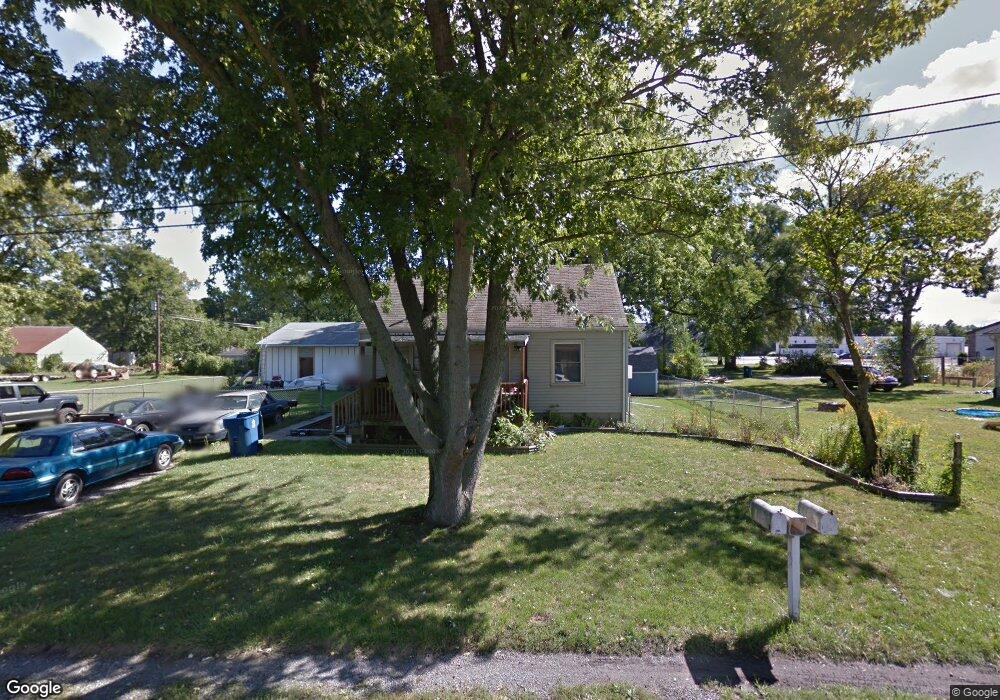
1857 Crocker St Chesterton, IN 46304
Estimated Value: $208,339 - $259,000
2
Beds
1
Bath
1,560
Sq Ft
$151/Sq Ft
Est. Value
About This Home
This home is located at 1857 Crocker St, Chesterton, IN 46304 and is currently estimated at $235,335, approximately $150 per square foot. 1857 Crocker St is a home located in Porter County with nearby schools including Liberty Elementary School, Liberty Intermediate School, and Chesterton Middle School.
Ownership History
Date
Name
Owned For
Owner Type
Purchase Details
Closed on
Aug 30, 2006
Sold by
Kalman Aaron A and Jones Amanda L
Bought by
Kalman Adam D
Current Estimated Value
Home Financials for this Owner
Home Financials are based on the most recent Mortgage that was taken out on this home.
Original Mortgage
$89,000
Outstanding Balance
$52,063
Interest Rate
6.77%
Mortgage Type
Purchase Money Mortgage
Estimated Equity
$183,272
Purchase Details
Closed on
Dec 28, 2004
Sold by
Deutsche Bank National Trust Co
Bought by
Kalman Aaron A and Jones Amanda L
Home Financials for this Owner
Home Financials are based on the most recent Mortgage that was taken out on this home.
Original Mortgage
$76,900
Interest Rate
5.83%
Mortgage Type
Fannie Mae Freddie Mac
Create a Home Valuation Report for This Property
The Home Valuation Report is an in-depth analysis detailing your home's value as well as a comparison with similar homes in the area
Home Values in the Area
Average Home Value in this Area
Purchase History
| Date | Buyer | Sale Price | Title Company |
|---|---|---|---|
| Kalman Adam D | -- | Chicago Title Insurance Co | |
| Kalman Aaron A | -- | Ticor Title Ins |
Source: Public Records
Mortgage History
| Date | Status | Borrower | Loan Amount |
|---|---|---|---|
| Open | Kalman Adam D | $89,000 | |
| Previous Owner | Kalman Aaron A | $76,900 |
Source: Public Records
Tax History
| Year | Tax Paid | Tax Assessment Tax Assessment Total Assessment is a certain percentage of the fair market value that is determined by local assessors to be the total taxable value of land and additions on the property. | Land | Improvement |
|---|---|---|---|---|
| 2025 | $1,125 | $139,700 | $24,200 | $115,500 |
| 2024 | $1,120 | $134,500 | $24,200 | $110,300 |
| 2023 | $1,248 | $131,300 | $23,200 | $108,100 |
| 2022 | $1,228 | $135,600 | $23,200 | $112,400 |
| 2021 | $934 | $113,800 | $23,200 | $90,600 |
| 2020 | $790 | $103,100 | $21,200 | $81,900 |
| 2019 | $744 | $97,300 | $21,200 | $76,100 |
| 2018 | $686 | $93,400 | $21,200 | $72,200 |
| 2017 | $694 | $96,300 | $21,200 | $75,100 |
| 2016 | $683 | $97,400 | $21,300 | $76,100 |
| 2014 | $648 | $90,600 | $20,000 | $70,600 |
| 2013 | -- | $86,900 | $20,400 | $66,500 |
Source: Public Records
Map
Nearby Homes
- 1765 Tower St
- 1717 Crocker St
- 7401 Belplane Ct
- 4221 Westwood Ln S
- 2131 Pepperbush Ave
- 0 St Rd 149 Unit NRA824925
- TBD Lenburg Rd
- 0-TBD Lenburg Rd
- 513 Sienna Ave
- 2375 Arrow St
- 7040 Elaine Ave
- V/L U S 20
- 2176 Mccool Rd
- Tbd- 60.04 Creasy St
- 1440 Duffer Dr
- 283 Melton Rd
- 1151 Burns Blvd
- 1 Burns Blvd
- 0 Mccool Rd
- 6936 Superior Ave
- 1857 Crocker St Unit 58
- 1858 Crocker St
- 5568 La Hayne Rd
- 1850 Crocker St
- 1834 Crocker St
- 5574 Lahayne Rd
- 5574 La Hayne Rd
- 1817 Crocker St
- 1818 Crocker St
- 1858 Tower St
- 1866 Tower St
- 1842 Tower St
- 1802 Tower St
- 1802 Crocker St
- 5569 Center Ave
- 16 Crocker St
- 1857 Tower St
- 0 Center St
- 1833 Tower St
- 1758 Crocker St
Your Personal Tour Guide
Ask me questions while you tour the home.