1857 Lemon Grove St Unit 4 Henderson, NV 89052
Sun City Anthem NeighborhoodEstimated Value: $939,000 - $1,363,669
2
Beds
3
Baths
2,743
Sq Ft
$437/Sq Ft
Est. Value
About This Home
This home is located at 1857 Lemon Grove St Unit 4, Henderson, NV 89052 and is currently estimated at $1,198,167, approximately $436 per square foot. 1857 Lemon Grove St Unit 4 is a home located in Clark County with nearby schools including Shirley & Bill Wallin Elementary School, Del E. Webb Middle School, and Liberty High School.
Ownership History
Date
Name
Owned For
Owner Type
Purchase Details
Closed on
May 1, 2001
Sold by
Del Webb Communities Inc
Bought by
Campbell Thomas I and Hill Roseann
Current Estimated Value
Home Financials for this Owner
Home Financials are based on the most recent Mortgage that was taken out on this home.
Original Mortgage
$614,200
Outstanding Balance
$230,869
Interest Rate
7.12%
Estimated Equity
$967,298
Create a Home Valuation Report for This Property
The Home Valuation Report is an in-depth analysis detailing your home's value as well as a comparison with similar homes in the area
Home Values in the Area
Average Home Value in this Area
Purchase History
| Date | Buyer | Sale Price | Title Company |
|---|---|---|---|
| Campbell Thomas I | $635,839 | Del Webb Title Company Nevad |
Source: Public Records
Mortgage History
| Date | Status | Borrower | Loan Amount |
|---|---|---|---|
| Open | Campbell Thomas I | $614,200 |
Source: Public Records
Tax History Compared to Growth
Tax History
| Year | Tax Paid | Tax Assessment Tax Assessment Total Assessment is a certain percentage of the fair market value that is determined by local assessors to be the total taxable value of land and additions on the property. | Land | Improvement |
|---|---|---|---|---|
| 2025 | $8,076 | $326,492 | $166,250 | $160,242 |
| 2024 | $7,842 | $326,492 | $166,250 | $160,242 |
| 2023 | $7,842 | $313,639 | $162,750 | $150,889 |
| 2022 | $7,613 | $293,045 | $154,700 | $138,345 |
| 2021 | $7,392 | $281,235 | $149,450 | $131,785 |
| 2020 | $7,173 | $279,785 | $149,100 | $130,685 |
| 2019 | $7,086 | $275,857 | $147,000 | $128,857 |
| 2018 | $6,762 | $269,613 | $145,250 | $124,363 |
| 2017 | $7,768 | $267,050 | $141,750 | $125,300 |
| 2016 | $6,326 | $221,943 | $96,250 | $125,693 |
| 2015 | $6,316 | $213,189 | $89,250 | $123,939 |
| 2014 | $6,132 | $207,050 | $85,750 | $121,300 |
Source: Public Records
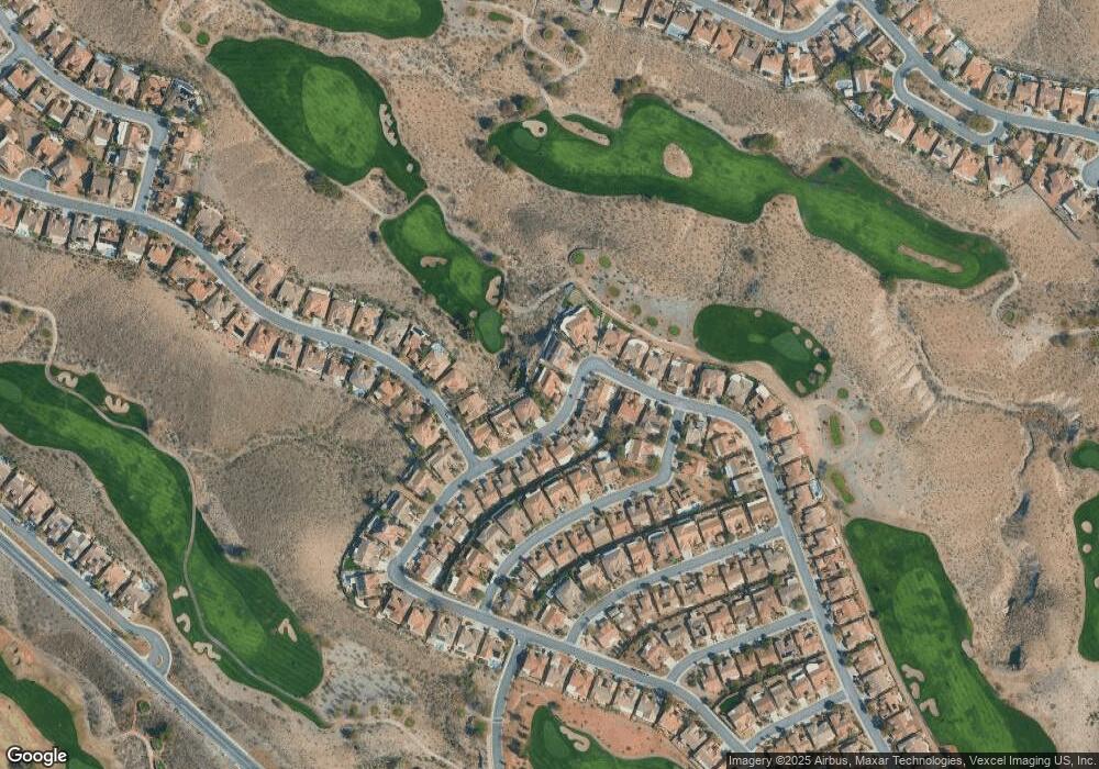
Map
Nearby Homes
- 2764 Grand Forks Rd
- 1939 Pearl City Ct
- 1948 Point Pleasant Dr
- 1717 Warrington Dr
- 2609 Rangely Ave
- 1744 Williamsport St
- 2612 Dearport Ct
- 1893 Hovenweep St
- 2601 Harrisburg Ave
- 2874 Hartwick Pines Dr
- 1806 Tarrant City St
- 2784 Cherrydale Falls Dr Unit 12
- 2567 Evening Sky Dr
- 2899 Brook Trout Ct
- 2544 Forest City Dr
- 2831 Somerset Springs Dr
- 1620 Langston Hughes St
- 1616 Benchley Ct
- 2069 Colvin Run Dr
- 2016 Biloxi Pass
- 1853 Lemon Grove St
- 1865 Lemon Grove St
- 1854 Lemon Grove St
- 1858 Lemon Grove St
- 1873 Lemon Grove St
- 1862 Lemon Grove St
- 1866 Lemon Grove St
- 2750 Riceville Dr
- 1870 Lemon Grove St
- 2746 Riceville Dr
- 2739 Riceville Dr
- 2774 Scotts Valley Dr
- 1877 Lemon Grove St
- 2742 Riceville Dr
- 1874 Lemon Grove St
- 2778 Scotts Valley Dr
- 1875 Redwood Valley St
- 1871 Redwood Valley St
- 2738 Riceville Dr
- 1878 Lemon Grove St