1857 Moore Rd Moreland, GA 30259
Estimated Value: $358,000 - $536,000
3
Beds
3
Baths
3,022
Sq Ft
$154/Sq Ft
Est. Value
About This Home
This home is located at 1857 Moore Rd, Moreland, GA 30259 and is currently estimated at $465,298, approximately $153 per square foot. 1857 Moore Rd is a home located in Coweta County with nearby schools including Moreland Elementary School, Smokey Road Middle School, and Newnan High School.
Ownership History
Date
Name
Owned For
Owner Type
Purchase Details
Closed on
Nov 20, 2019
Sold by
Smith Jerry Alan
Bought by
Smith April Marie
Current Estimated Value
Home Financials for this Owner
Home Financials are based on the most recent Mortgage that was taken out on this home.
Original Mortgage
$88,900
Outstanding Balance
$57,150
Interest Rate
3.75%
Mortgage Type
New Conventional
Estimated Equity
$408,148
Purchase Details
Closed on
Aug 22, 2003
Sold by
Smith R S
Bought by
Smith April M
Create a Home Valuation Report for This Property
The Home Valuation Report is an in-depth analysis detailing your home's value as well as a comparison with similar homes in the area
Home Values in the Area
Average Home Value in this Area
Purchase History
| Date | Buyer | Sale Price | Title Company |
|---|---|---|---|
| Smith April Marie | -- | -- | |
| Smith April M | -- | -- |
Source: Public Records
Mortgage History
| Date | Status | Borrower | Loan Amount |
|---|---|---|---|
| Open | Smith April Marie | $88,900 |
Source: Public Records
Tax History
| Year | Tax Paid | Tax Assessment Tax Assessment Total Assessment is a certain percentage of the fair market value that is determined by local assessors to be the total taxable value of land and additions on the property. | Land | Improvement |
|---|---|---|---|---|
| 2025 | $4,107 | $179,718 | $25,649 | $154,069 |
| 2024 | $3,997 | $176,770 | $25,649 | $151,120 |
| 2023 | $3,997 | $151,785 | $24,002 | $127,783 |
| 2022 | $3,185 | $134,013 | $23,531 | $110,482 |
| 2021 | $3,071 | $121,339 | $22,411 | $98,928 |
| 2020 | $2,532 | $121,339 | $22,411 | $98,928 |
| 2019 | $1,768 | $85,924 | $22,004 | $63,920 |
| 2018 | $1,771 | $85,924 | $22,004 | $63,920 |
| 2017 | $1,769 | $85,924 | $22,004 | $63,920 |
| 2016 | $1,749 | $85,924 | $22,004 | $63,920 |
| 2015 | $1,721 | $85,924 | $22,004 | $63,920 |
| 2014 | $1,708 | $85,924 | $22,004 | $63,920 |
Source: Public Records
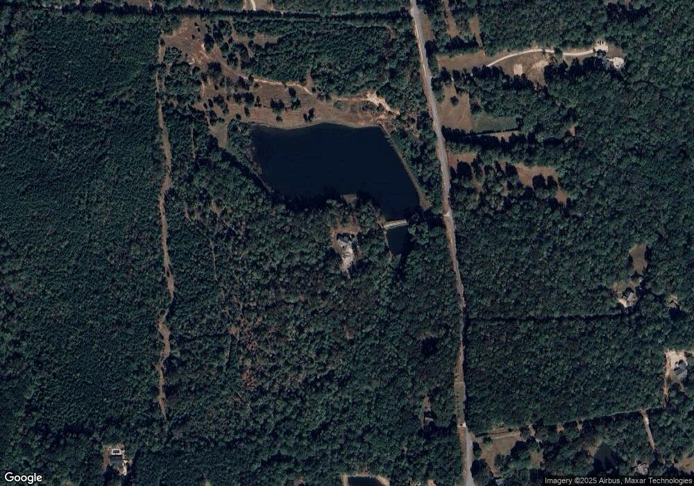
Map
Nearby Homes
- 59 Akers Lake Dr
- 2089 Moore Rd
- 1234 Haynie Rd
- 2725 Gordon Rd
- LOT 4 Puckett Station None
- 0 Highway 54 Unit 10561313
- 0 Highway 54 Unit 7613124
- 2963 Gordon Rd
- 98 Ryeland Dr
- 92 Gordon Oaks Way
- 1012 Bexton Rd
- 24 Deer Creek Ct
- 30 Deer Creek Ct
- 105 Bertus Hunter Rd
- Henry II Plan at Saddleridge
- Emerson II Plan at Saddleridge
- Margaret Plan at Saddleridge
- Lauren II Plan at Saddleridge
- Clarity Plan at Saddleridge
- Brevard Plan at Saddleridge
- 499 Moore Rd
- 1887 Moore Rd
- 1893 Moore Rd
- 65 Akers Lake Dr
- 160 Bowers Rd
- 85 Akers Lake Dr
- 85 Akers Lake Dr Unit 17
- 1984 Moore Rd
- 1872 Moore Rd
- 49 Akers Lake Dr
- 101 Akers Lake Dr
- 11 Akers Lake Dr
- 0 Moore Rd Unit 7381900
- 1737 Moore Rd
- 58 Akers Lake Dr
- 39 Akers Lake Dr
- 39 Akers Lake Ct
- 35 Akers Lake Ct
- 2010 Moore Rd
- 1904 Moore Rd