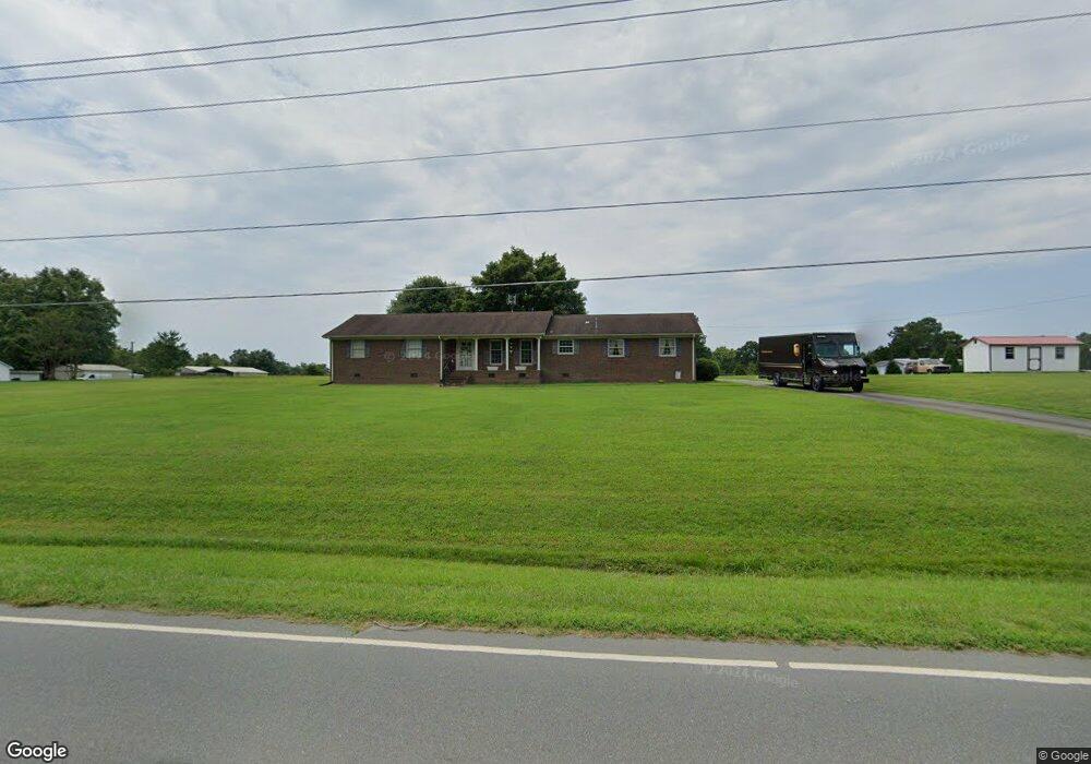
1857 Swepsonville Rd Graham, NC 27253
Estimated Value: $238,000 - $295,159
3
Beds
1
Bath
1,730
Sq Ft
$158/Sq Ft
Est. Value
About This Home
This home is located at 1857 Swepsonville Rd, Graham, NC 27253 and is currently estimated at $273,040, approximately $157 per square foot. 1857 Swepsonville Rd is a home located in Alamance County with nearby schools including South Graham Elementary School, Southern Alamance Middle School, and Southern Alamance High School.
Ownership History
Date
Name
Owned For
Owner Type
Purchase Details
Closed on
Nov 10, 2016
Sold by
Smith Shelby S and Smith Danny A
Bought by
Hill William M
Current Estimated Value
Home Financials for this Owner
Home Financials are based on the most recent Mortgage that was taken out on this home.
Original Mortgage
$127,000
Outstanding Balance
$101,959
Interest Rate
3.42%
Mortgage Type
Adjustable Rate Mortgage/ARM
Estimated Equity
$171,081
Create a Home Valuation Report for This Property
The Home Valuation Report is an in-depth analysis detailing your home's value as well as a comparison with similar homes in the area
Home Values in the Area
Average Home Value in this Area
Purchase History
| Date | Buyer | Sale Price | Title Company |
|---|---|---|---|
| Hill William M | $125,000 | Attorney |
Source: Public Records
Mortgage History
| Date | Status | Borrower | Loan Amount |
|---|---|---|---|
| Open | Hill William M | $127,000 |
Source: Public Records
Tax History Compared to Growth
Tax History
| Year | Tax Paid | Tax Assessment Tax Assessment Total Assessment is a certain percentage of the fair market value that is determined by local assessors to be the total taxable value of land and additions on the property. | Land | Improvement |
|---|---|---|---|---|
| 2025 | $1,349 | $243,430 | $50,397 | $193,033 |
| 2024 | $1,288 | $243,430 | $50,397 | $193,033 |
| 2023 | $1,192 | $243,430 | $50,397 | $193,033 |
| 2022 | $917 | $124,497 | $37,371 | $87,126 |
| 2021 | $929 | $124,497 | $37,371 | $87,126 |
| 2020 | $941 | $124,497 | $37,371 | $87,126 |
| 2019 | $946 | $124,497 | $37,371 | $87,126 |
| 2018 | $0 | $124,497 | $37,371 | $87,126 |
| 2017 | $830 | $124,497 | $37,371 | $87,126 |
| 2016 | $665 | $99,191 | $39,882 | $59,309 |
| 2015 | $661 | $99,191 | $39,882 | $59,309 |
| 2014 | -- | $99,191 | $39,882 | $59,309 |
Source: Public Records
Map
Nearby Homes
- 2923 Cullens Dr
- 101 Kingston Ln
- 1798 Parham Dr
- 1787 Parham Dr
- 1811 Parham Dr
- 1811 Parham Dr Unit 89
- 511 Valentine Ct
- 511 Valentine Ct Unit Lot 106
- 1819 Parham Dr Unit Lot 87
- 1819 Parham Dr
- 1823 Parham Dr
- 1823 Parham Dr Unit Lot 86
- 519 Valentine Ct
- 2114 Willow Glen Dr
- 2112 Willow Glen Dr
- 531 Valentine Ct
- 535 Valentine Ct
- 535 Valentine Ct Unit Lot 100
- 2146 Willow Glen Dr
- 948 Martin Ave
- 1817 Swepsonville Rd
- 1837 Swepsonville Rd
- 1856 Swepsonville Rd
- 1875 Swepsonville Rd
- 1810 Swepsonville Rd
- 1848 Swepsonville Rd
- 1840 Swepsonville Rd
- 1840 Swepsonville Saxapahaw Rd
- 1832 Swepsonville Rd
- 1900 Swepsonville Rd
- 1822 Henderson Rd
- 1819 Brier Ln
- 1910 Swepsonville Rd
- 1816 Swepsonville Rd
- 1845 Brier Ln
- 1848 Henderson Rd
- 1809 Swepsonville Rd
- 1918 Swepsonville Rd
- 1805 Brier Ln
- 1905 Brier Ln